
Map · 16 places
Curicó Emergency Evacuation Map
A map detailing evacuation routes and emergency services in Curicó, Maule Region.
Made with ProxiUpdated Oct 2024
- City 1
- Facility 1
- Geographical Area 1
- Healthcare Facility 1
- Hill 1
- Neighborhood 1
- Park 1
- Public Square 1
- Region 1
- River 1
- Road 1
- School 1
- Services 1
- Stadium 1
- Village 1
- Winery 1
Places on This Map
16 places · 16 groupsNearby Maps
Explore Southern Chile
24 stops · Chilediego edityoriCommunity Map
Curicó Points of Interest
16 stops · Curico, Maule, ChileShared by the Proxi community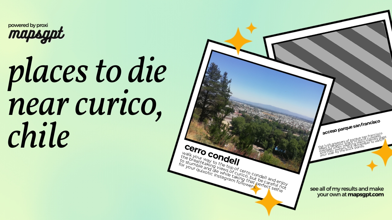 Community Map
places to die near curico, chile
6 stops · Curico, Maule, ChileShared by the Proxi community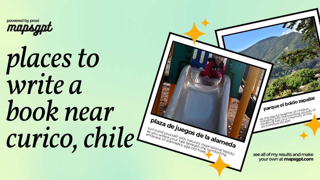 Community Map
places to write a book near curico, chile
7 stops · Curico, Maule, ChileShared by the Proxi communityCommunity Map
Mapa de la Ciudad Curicó
15 stops · Curico, Curicó, Maule, ChileShared by the Proxi communityCommunity Map
Map of the Maule Region Highlights
16 stops · Maule, ChileShared by the Proxi community

This map was made with Proxi
Have a main street, a market, or a story worth walking? Make your own map in a few minutes.