
Map · 15 places
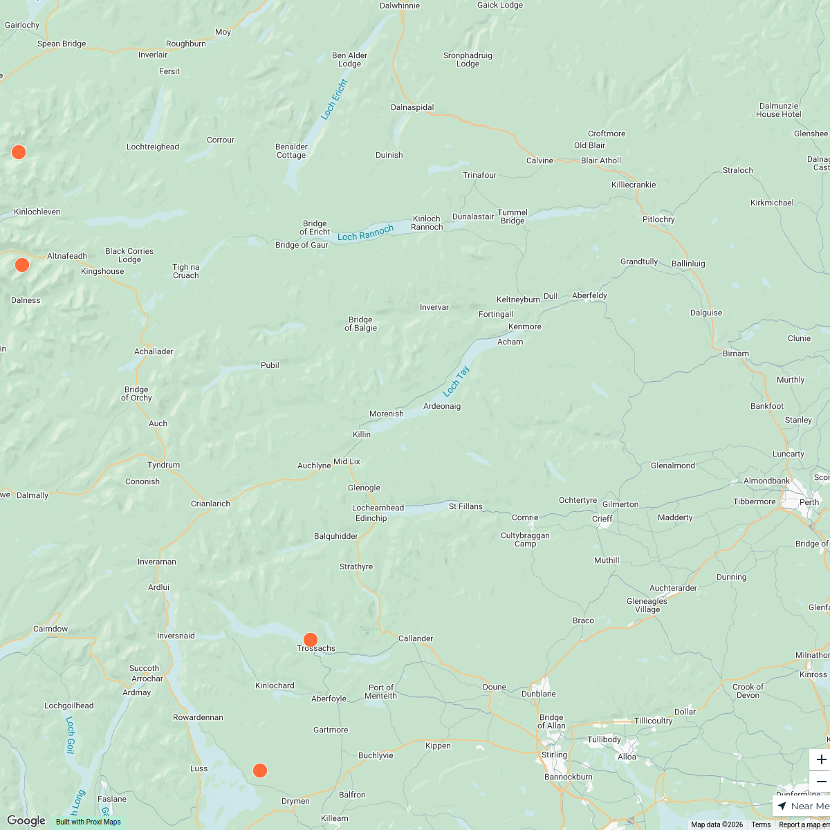
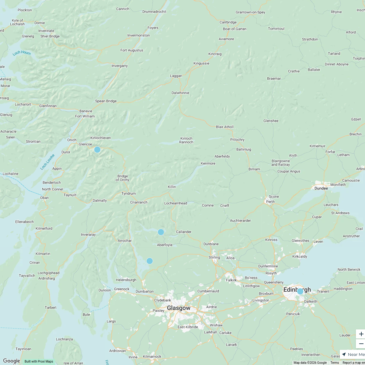
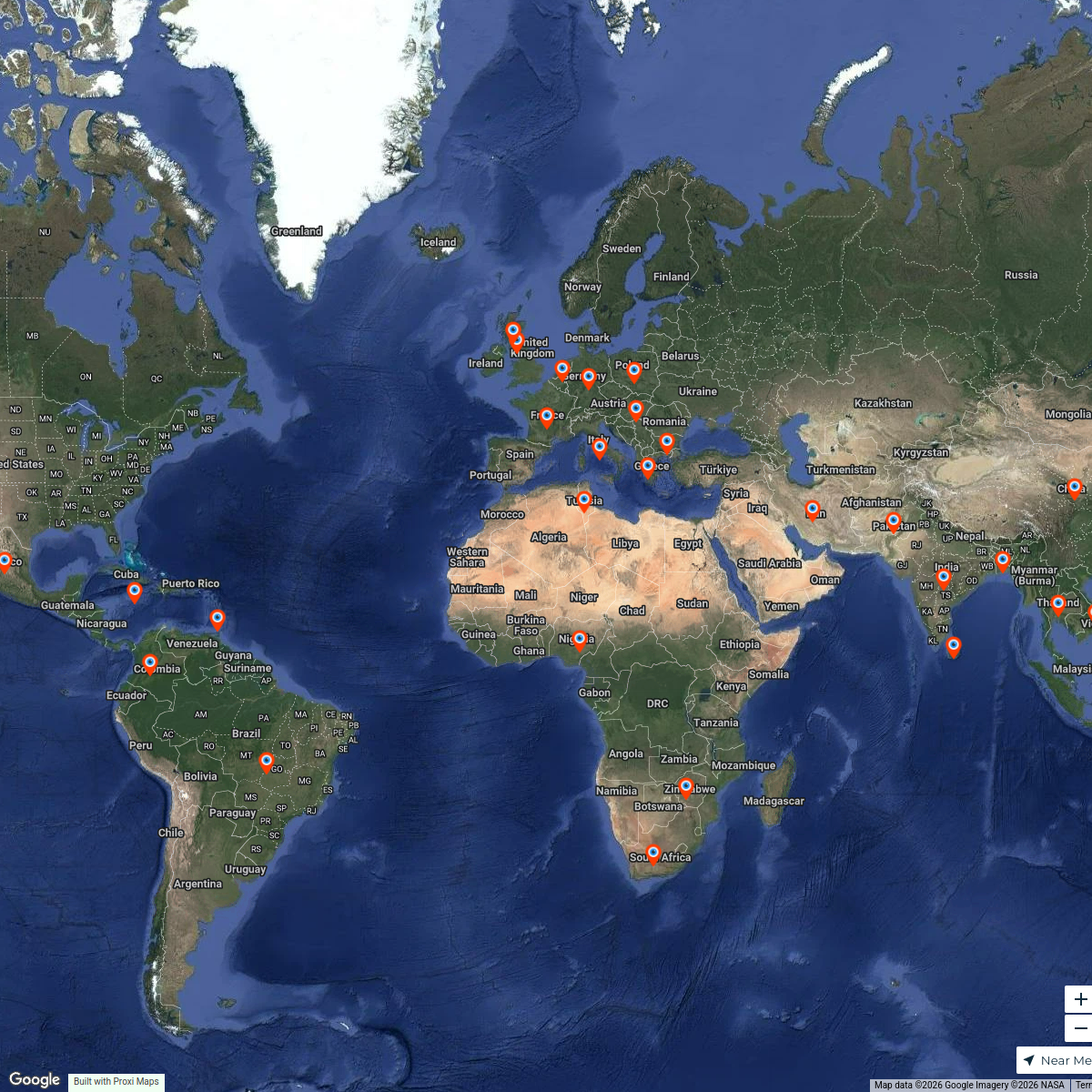
West Highland Way Route Map
A detailed map showcasing the scenic route of the West Highland Way, spanning from Milngavie to Fort William in Scotland. The map highlights key waypoints, landmarks, and natural features along the trail.
Made with ProxiUpdated Oct 2024
- Hiking Trails 3
- Campsites 2
- Historical Sites 2
- Natural Landmarks 2
- Tourist Attractions 1
Places on This Map
15 places · 5 groupsNearby Maps
Scotland's Scenic Viewpoints
10 stops · Scotland, UK Richard colbath-Hess's Workspace
Scotland's Scenic Treasures
4 stops · Scotland, UKRichard colbath-Hess's WorkspaceGreener Energy Group - Installs
6559 stops peter's Workspace
My Proxi Map
256 stopssuesleeping's WorkspaceFamily Travel Destinations Map
147 stops Brett Hughes's Workspace
HOOPP Employee Heritage Map
34 stopsfmahmood's Workspace

This map was made with Proxi
Have a main street, a market, or a story worth walking? Make your own map in a few minutes.