
Map · 18 places
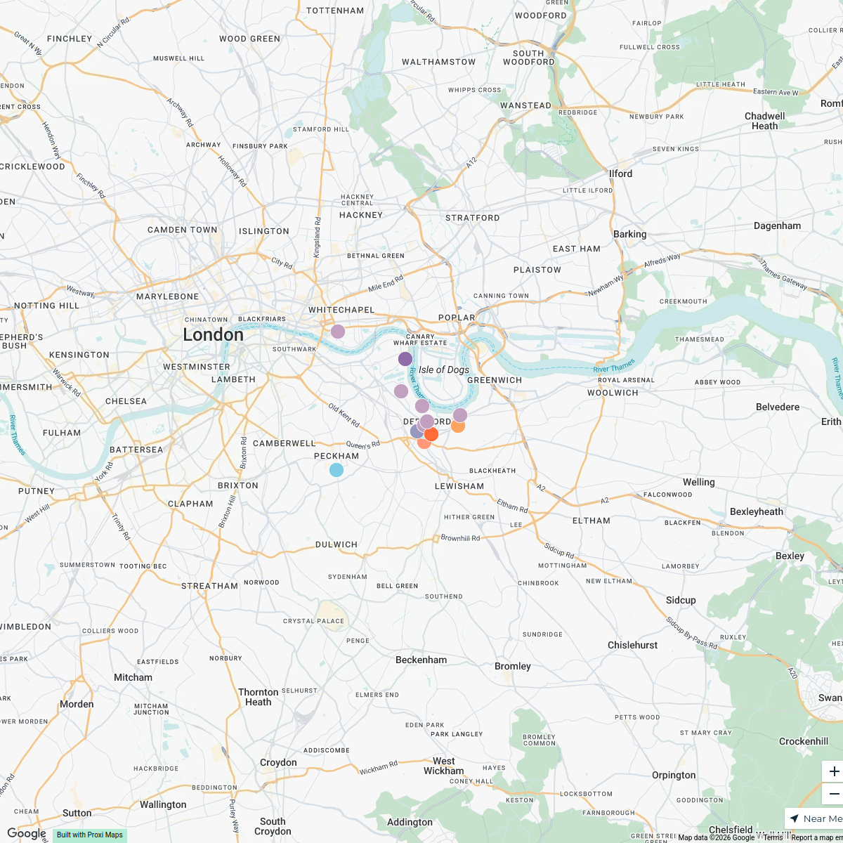
Blackfriars Station and Surroundings
A detailed map focusing on the area around Blackfriars Station, showcasing the Northern Bank of the River Thames and key transport links in London.
Made by Jeannie Ilagan Ombania's WorkspaceUpdated Oct 2024
- Transportation 8
- Landmarks 5
- Restaurants 3
- Parks 1
- River Access 1
Places on This Map
18 places · 5 groupsNearby Maps
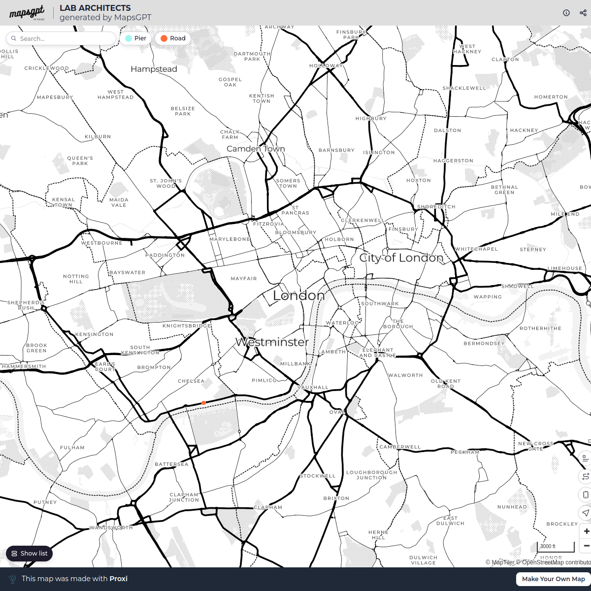
LAB ARCHITECTS
1 stop · London, UK georgie's Workspace
Ted Lasso London Filming Locations
42 stops · London London in Real Life's Workspace
London's Oldest Pubs
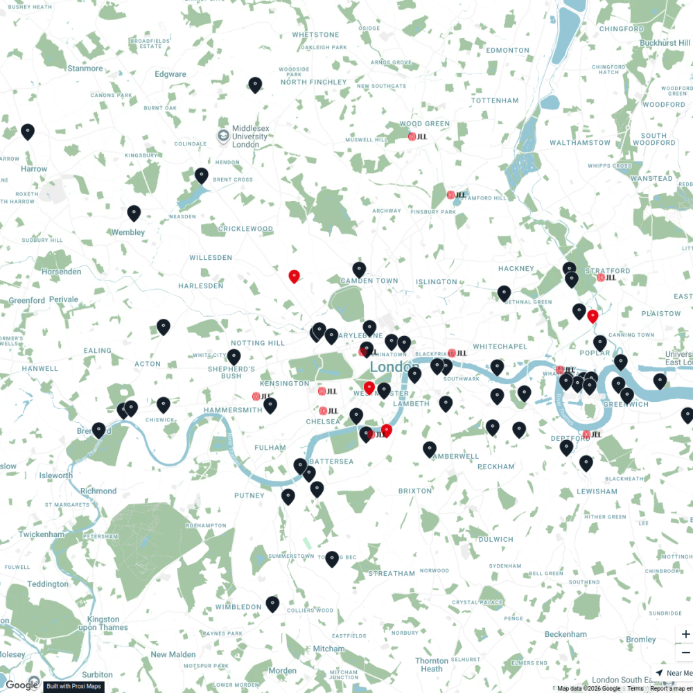
13 stops · London, UKLondon in Real Life's WorkspaceJLL Residential
76 stops JLL London
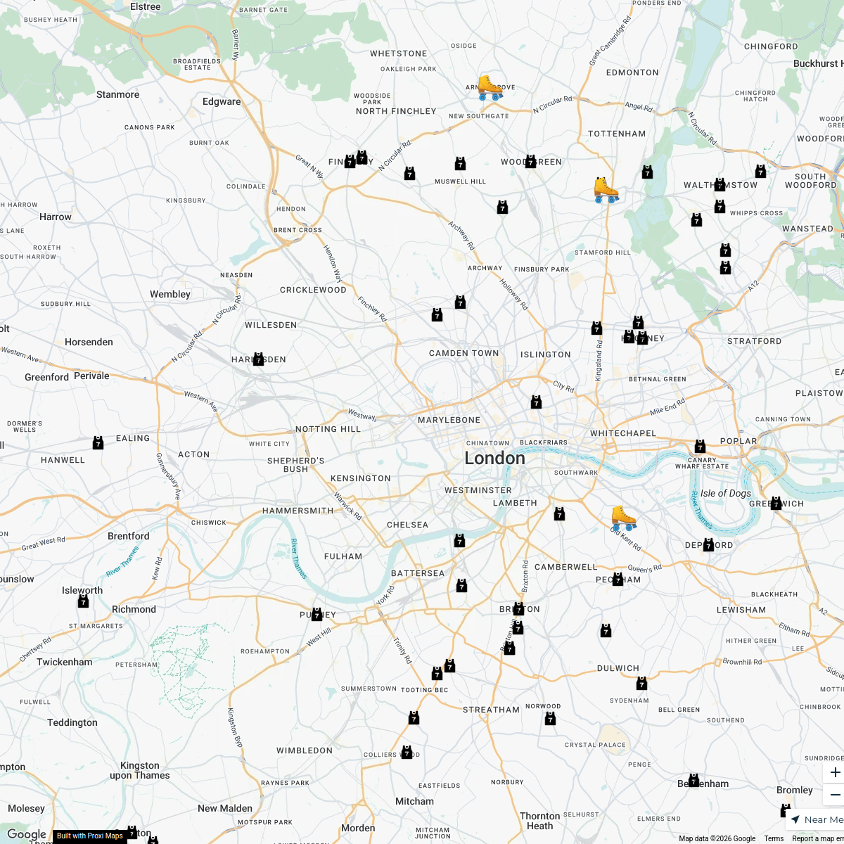
London Roller Derby
76 stops katylw123's Workspace
Deptford Attractions Map
15 stops · Deptford, London, UKSeema Manchanda's Workspace

This map was made with Proxi
Have a main street, a market, or a story worth walking? Make your own map in a few minutes.