
Map · 20 places
Urban Analysis of Cape Town
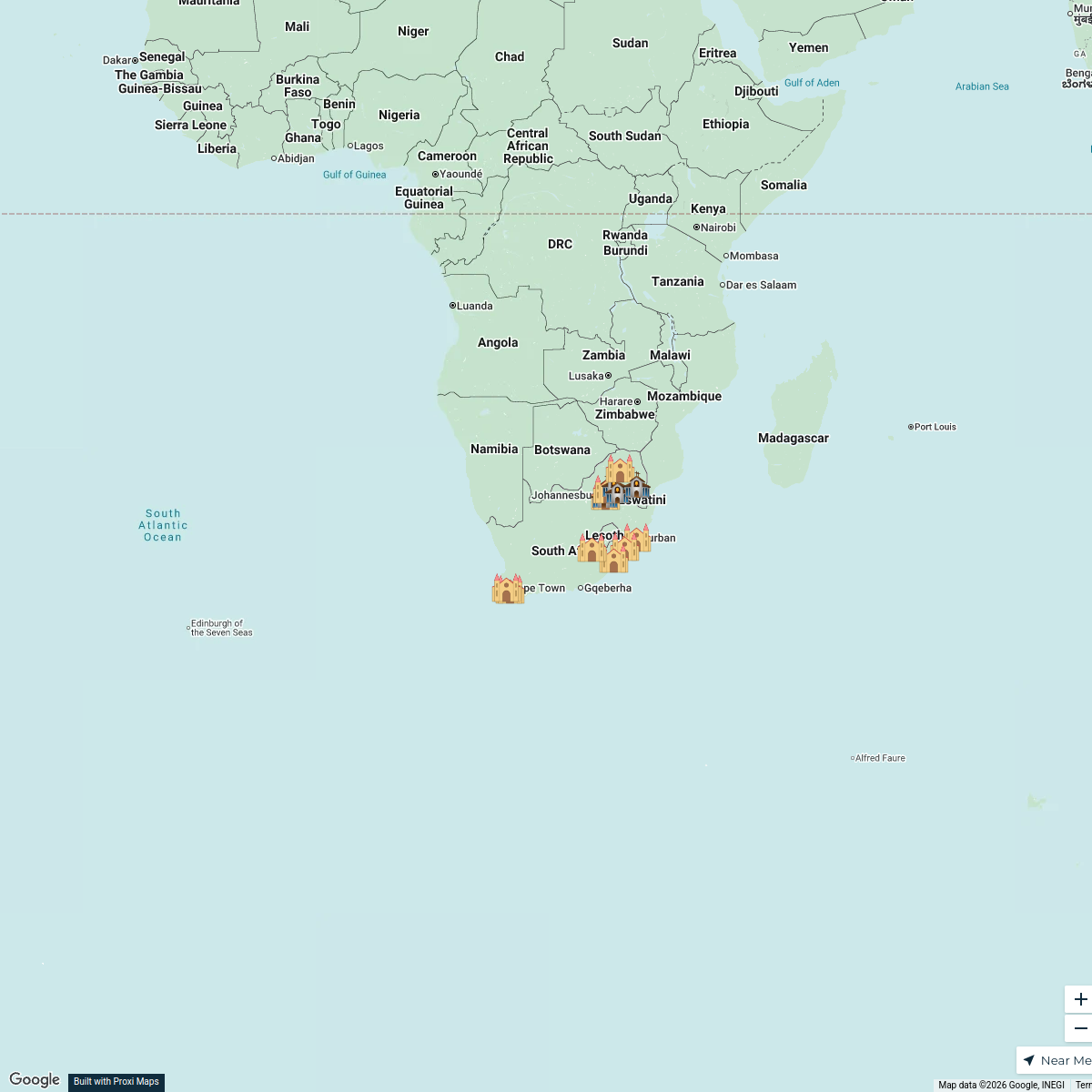
A detailed map showcasing the urban layout, infrastructure, and key areas of interest in Cape Town, South Africa. This analysis will include demographics, land use, transportation networks, and notable landmarks to provide a comprehensive overview of the city’s urban dynamics.
Made with ProxiUpdated Oct 2024
- Economic Zones 6
- Landmarks 5
- Public Spaces 3
- Residential Areas 2
- Transportation 2
- Demographics 1
- Land Use 1
Places on This Map
20 places · 7 groupsNearby Maps
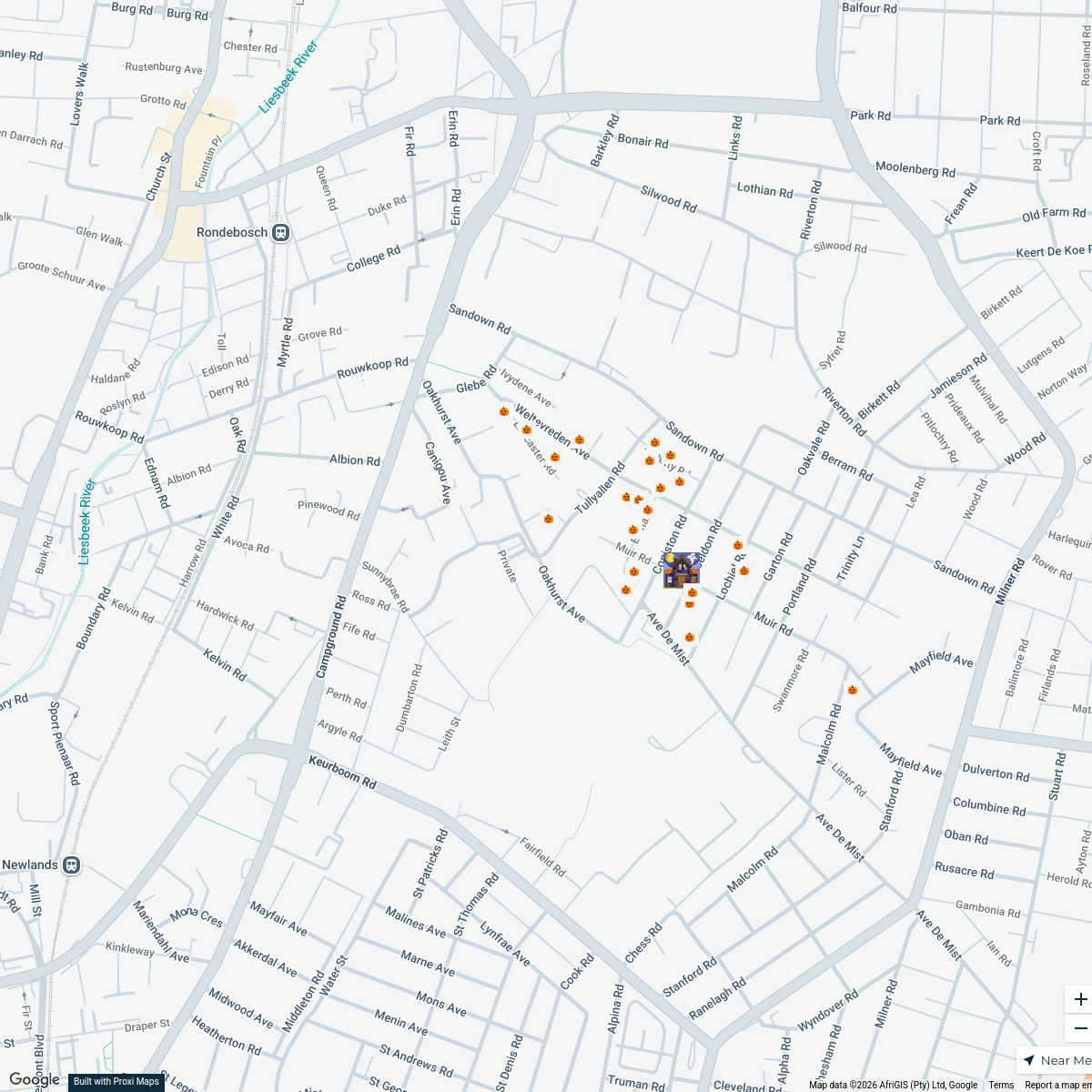
Rondebosch Halloween Trick or Treat Route
25 stops Robyn Rautenbach's Workspace
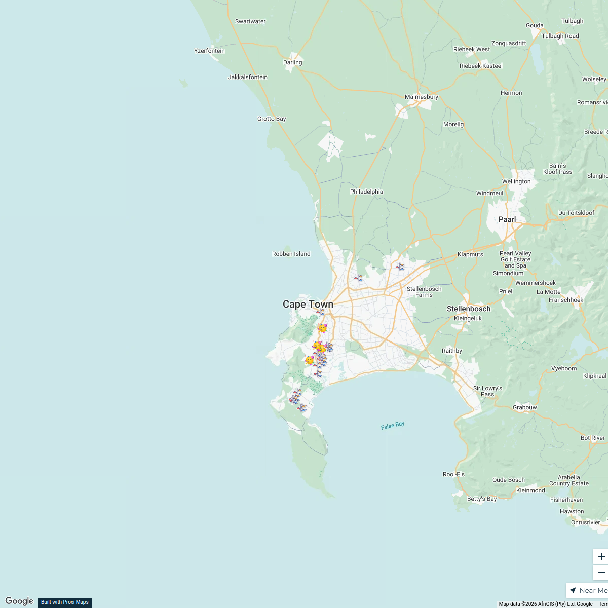
Christmas Lights in Cape Town 2025
29 stops · Cape Town, South Africasamantha's Workspace
Coffee Map
130 stops · South Africa Lekker Passport
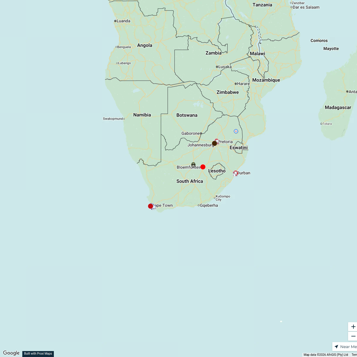
Military Units in South Africa
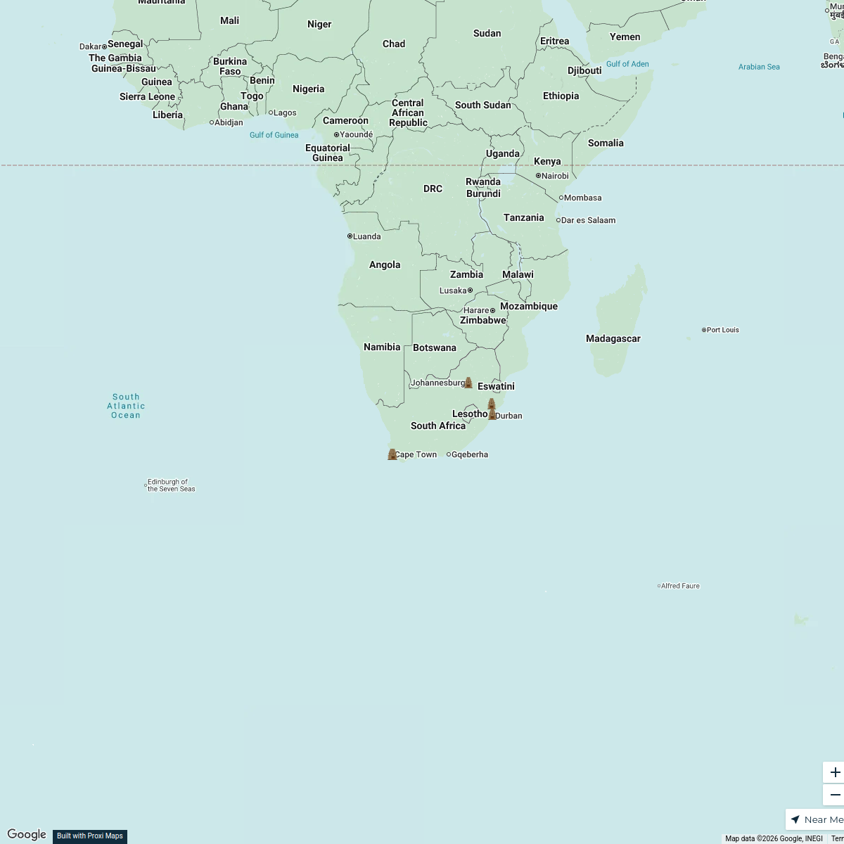
25 stops · South AfricaTsholo Moleko's WorkspaceLandmarks of South Africa
5 stops · South Africa Javier De La Luz's Workspace
South African Dioceses and Churches
18 stops · South AfricaRahmah Dialogue's Workspace
This map was made with Proxi
Have a main street, a market, or a story worth walking? Make your own map in a few minutes.