
Map · 19 places
Singapore Flood Risk Map
A detailed flood risk map highlighting areas in Singapore susceptible to flooding, based on historical data and geographical analysis. This map serves as a crucial tool for urban planning, emergency response, and public awareness.
Made with ProxiUpdated Oct 2024
- Infrastructure 4
- Emergency Services 3
- Environment 3
- Public Awareness Programs 3
- Transportation 3
- Urban Planning 3
Places on This Map
19 places · 6 groupsNearby Maps
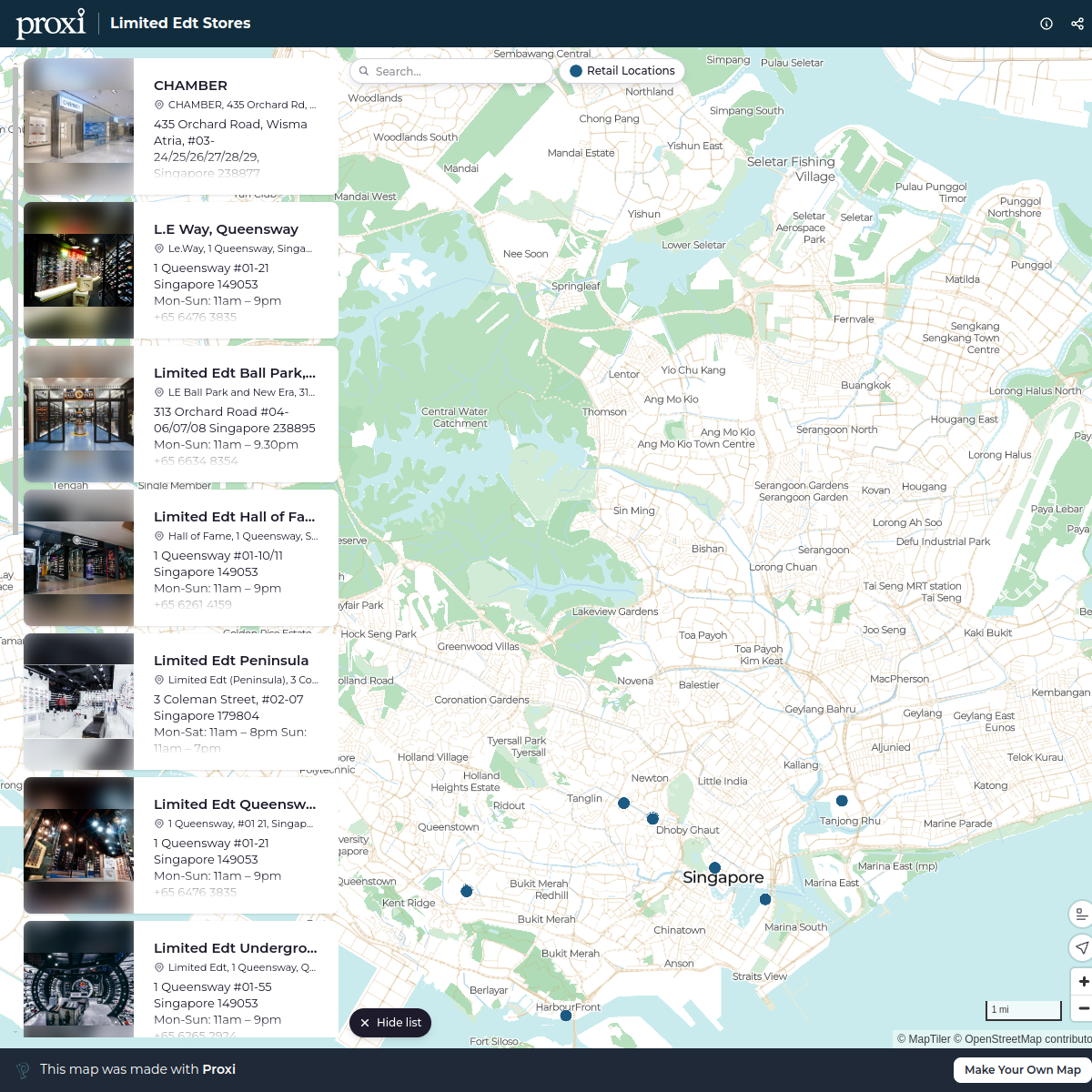
Limited Edt Stores
14 stops · Singapore marcomm's Workspace
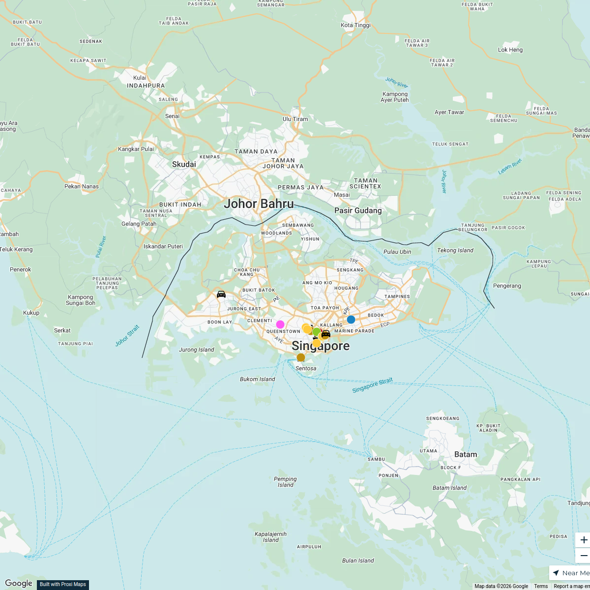
Retail Study Tour Singapore
26 stops · Singapore RX Workspace
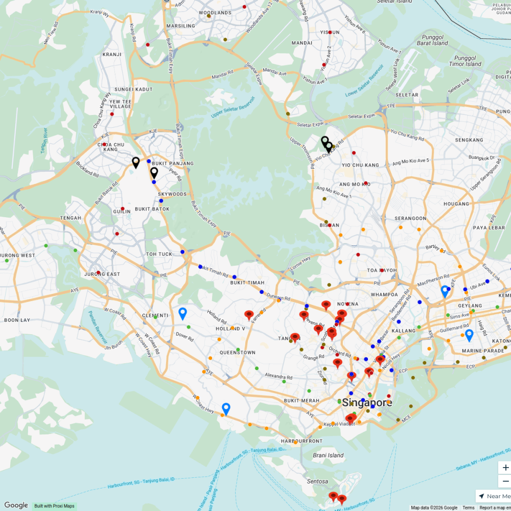
Singapore Homes
183 stops PK SOH's Workspace
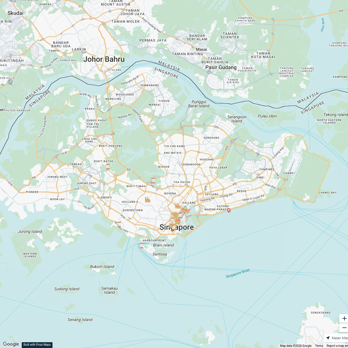
Singapore Landmarks
21 stops27jacobsanchez's WorkspaceSeek Discomfort Adventure Map
974 stops Seek Discomfort's Adventure Map
My Proxi Map
1 stopjulievanhoy's Workspace
This map was made with Proxi
Have a main street, a market, or a story worth walking? Make your own map in a few minutes.