
Map · 18 places
Santa Maria Transportation Hub Map
A detailed map highlighting transportation hubs, routes, and facilities in Santa Maria, Bulacan, Philippines. This map focuses on public transport options, including bus, jeepney, and tricycle routes, facilitating commuting within and outside the area.
Made with ProxiUpdated Oct 2024
- Bus Stops 6
- Jeepney Routes 4
- Parking Areas 4
- Tricycle Terminals 3
- Public Transportation 1
Places on This Map
18 places · 5 groupsNearby Maps
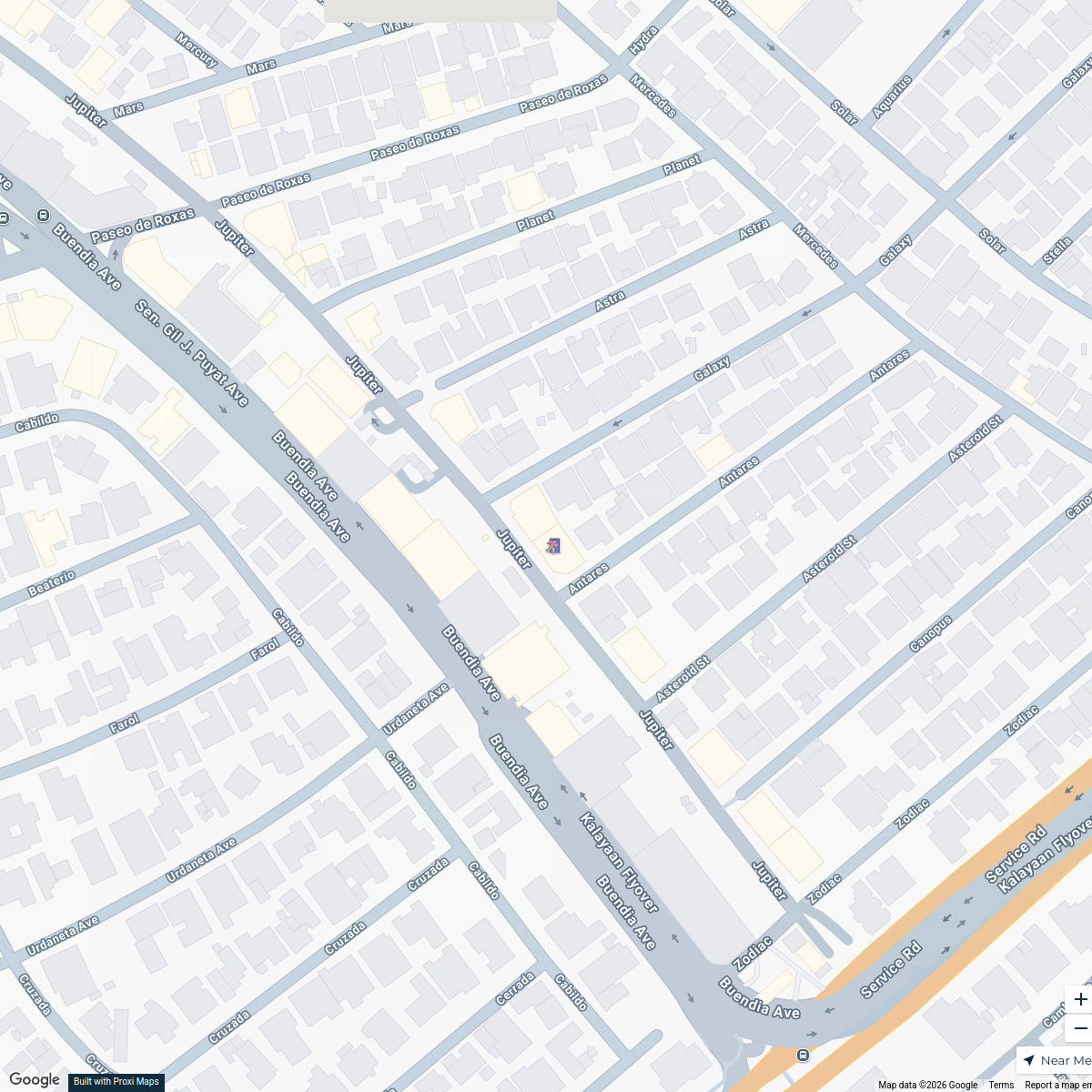
FilmPabrika Earthquake Evacuation Sites
8 stops · Film Pabrika, 20 Jupiter, Makati City, 1209 Metro Manila, Philippines Patricia Ramos's Workspace
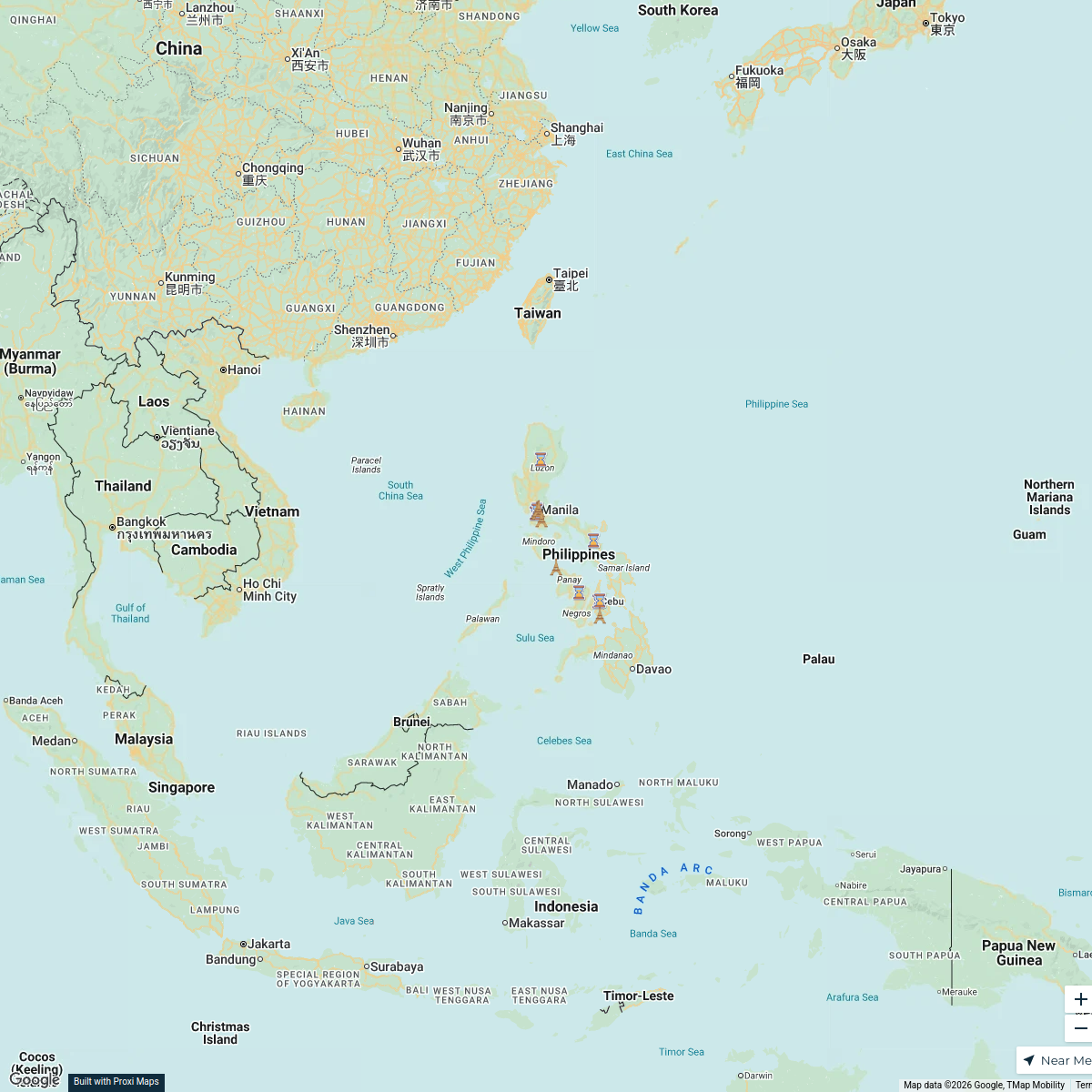
Exploring the Philippines
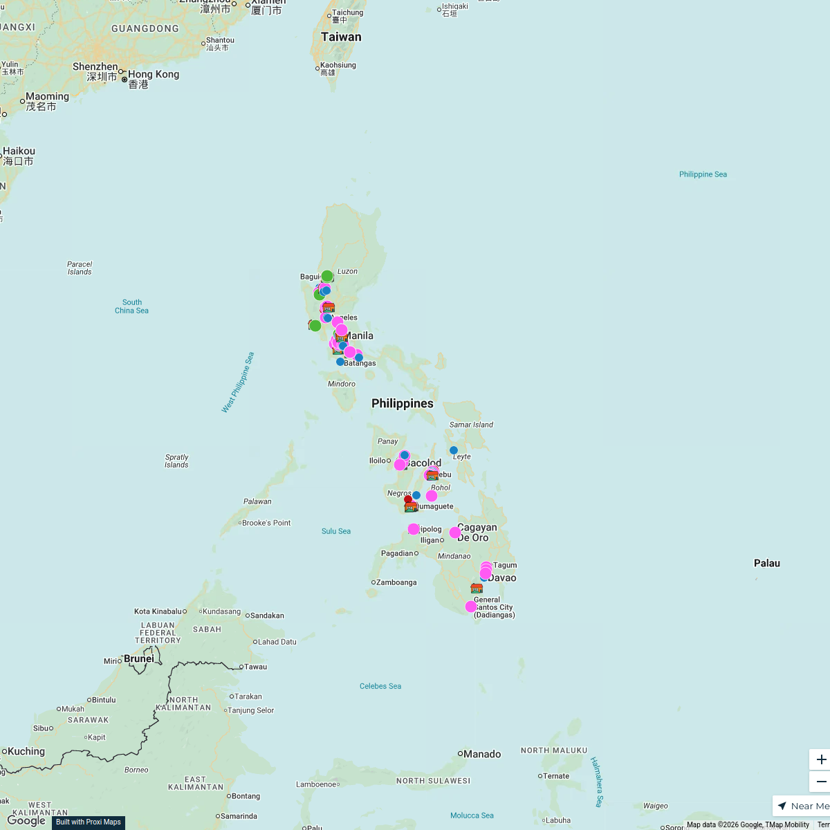
18 stops · PhilippinesKaliyah Williams's WorkspaceOrphanage Ministry
106 stops Bob Hansen's Workspace
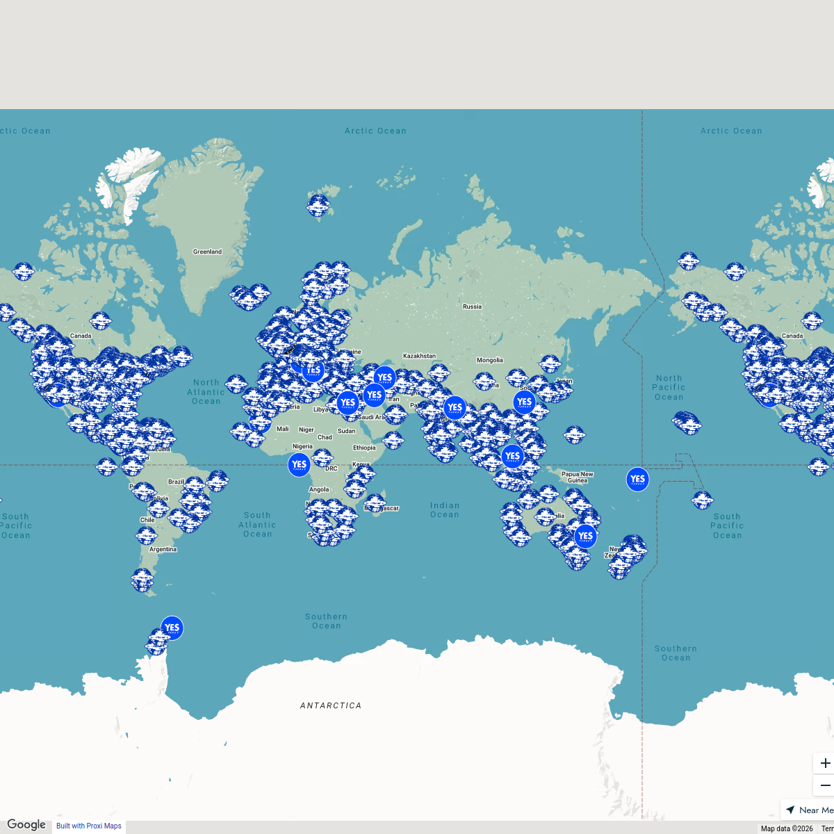
Seek Discomfort Adventure Map
974 stops Seek Discomfort's Adventure Map
Sydney Explorer
127 stops · Sydney NSW, Australiabhidetejas03's Workspace✨ World Changers Directory 🌎
51 stops World Changer's Workspace
This map was made with Proxi
Have a main street, a market, or a story worth walking? Make your own map in a few minutes.