
Map · 5 places
London Postcode Areas Map
A detailed map showcasing the various postcode areas of London, illustrating the geographic distribution and boundaries of each postcode, helping users navigate the city more effectively.
Made with ProxiUpdated Oct 2024
Places on This Map
5 placesOpen the map to see what’s on it.
Nearby Maps
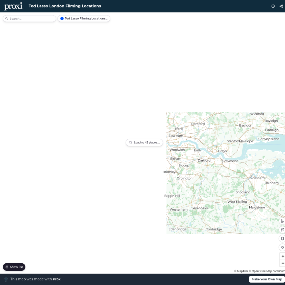
Ted Lasso London Filming Locations
42 stops · London London in Real Life's Workspace
London's Oldest Pubs
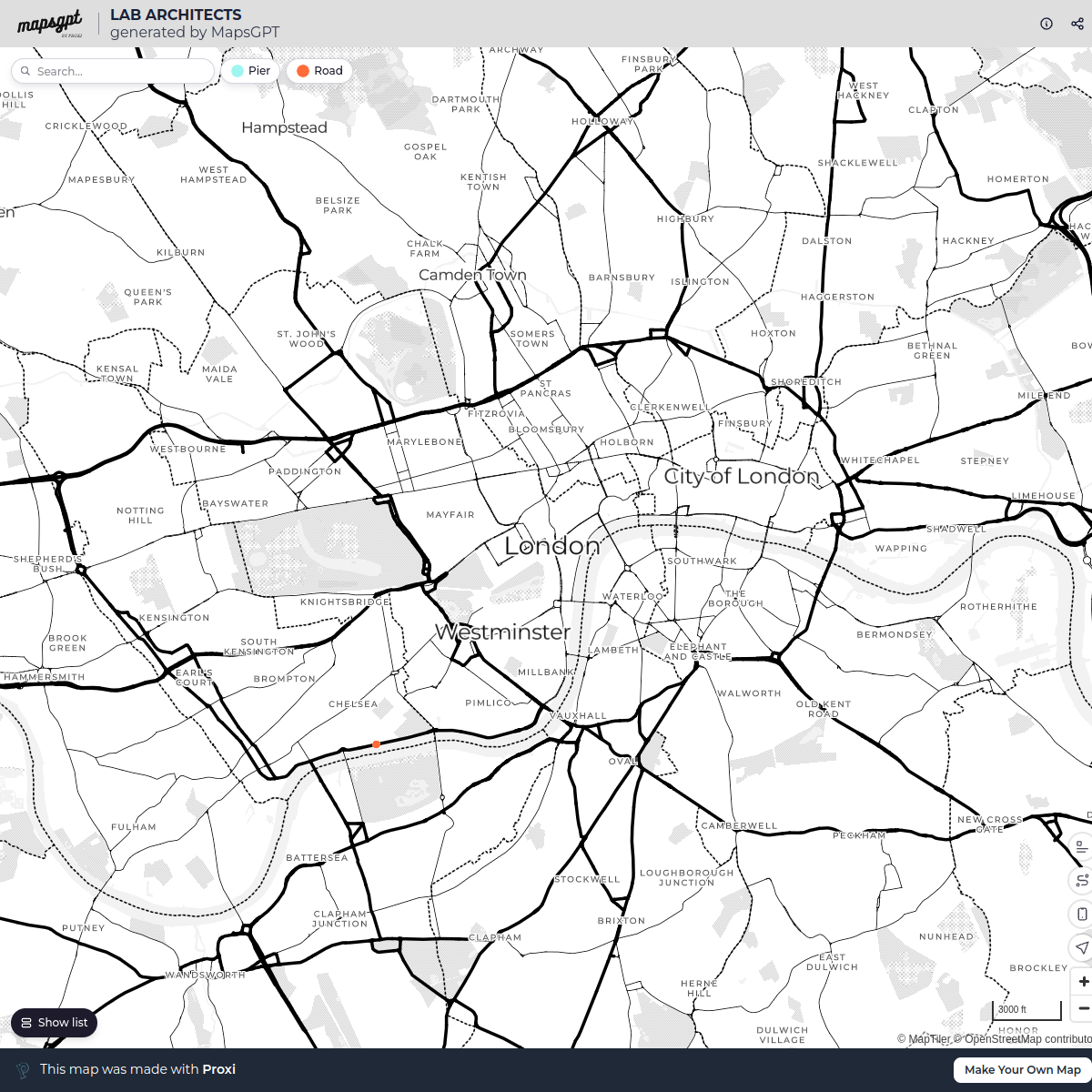
13 stops · London, UKLondon in Real Life's WorkspaceLAB ARCHITECTS
1 stop · London, UK georgie's Workspace
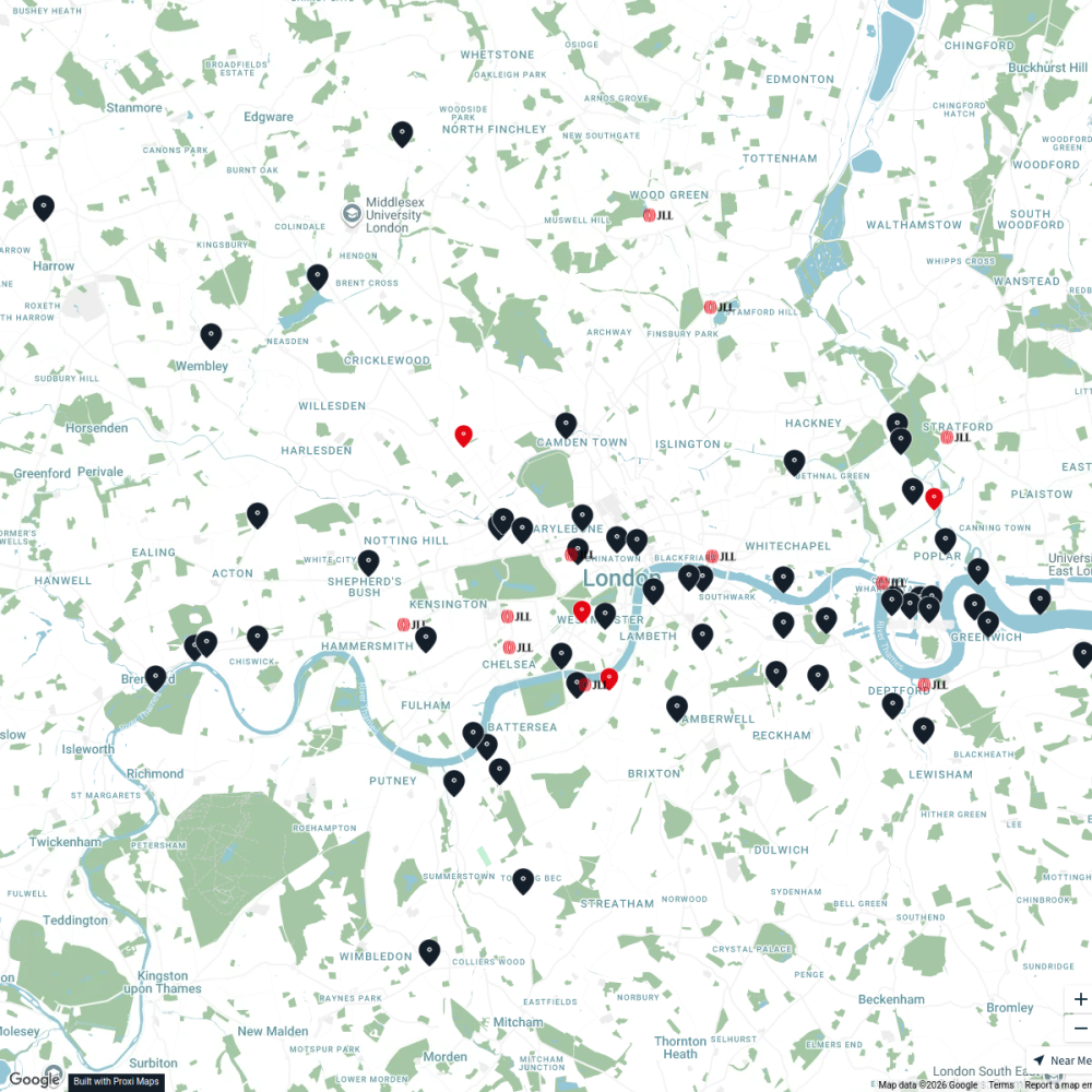
JLL Residential
76 stops JLL London
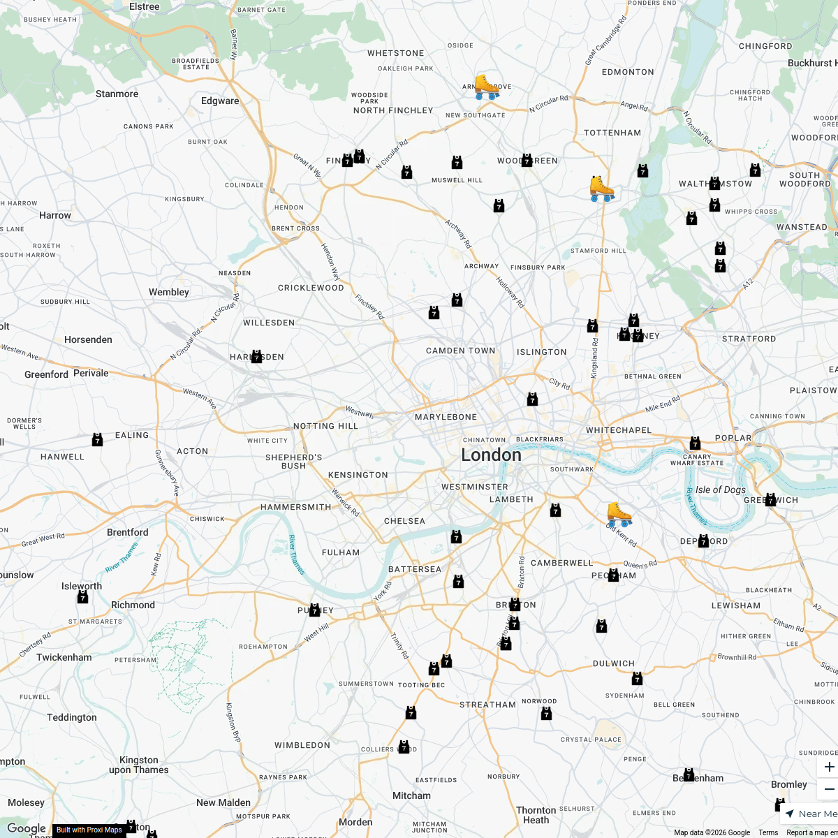
London Roller Derby
76 stops katylw123's Workspace
Pest Control London
37 stops · MA PEST CONTROL, 20 Ladbroke Cres, London W11 1PS, UKbethalmoore's Workspace


This map was made with Proxi
Have a main street, a market, or a story worth walking? Make your own map in a few minutes.