
Map · 17 places
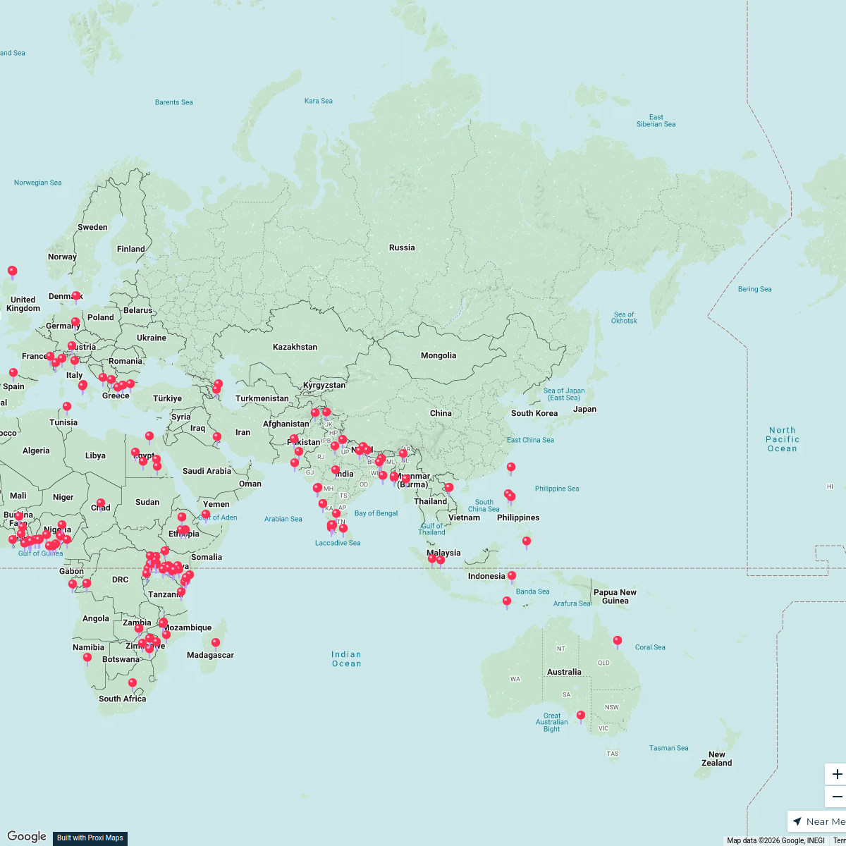
Kilifi Township Industrial Map
A detailed map focusing on the industrialized areas surrounding Kilifi Township, Kenya, showcasing key industries, factories, and commercial zones that contribute to the local economy.
Made with ProxiUpdated Oct 2024
- Local Businesses 7
- Infrastructure 3
- Transportation 3
- Factories 2
- Commercial Zones 1
- Economic Activity 1
Places on This Map
17 places · 6 groupsNearby Maps
Global Cultural Heritage
168 stops · Asia Sania Irfan's Workspace
 Community Map
bowling near mtwapa
8 stops · Mtwapa, KenyaShared by the Proxi community Community Map
beaches near mtwapa
6 stops · Mtwapa, KenyaShared by the Proxi community Community Map
night clubs near Bamburi
5 stops · Bamburi, Mombasa, KenyaShared by the Proxi communityCommunity Map
Explore Mombasa
15 stops · Mombasa, KenyaShared by the Proxi communityCommunity Map
Mombasa Hospitals Map
15 stops · Mombasa, KenyaShared by the Proxi community
This map was made with Proxi
Have a main street, a market, or a story worth walking? Make your own map in a few minutes.