
Map · 17 places · Escondido, CA
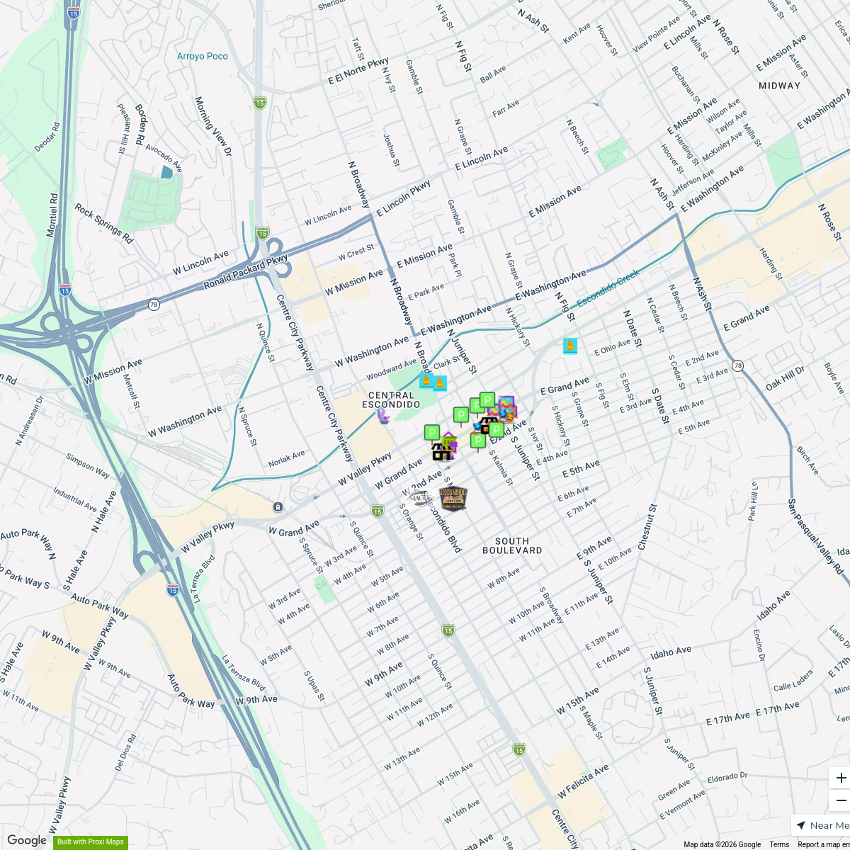
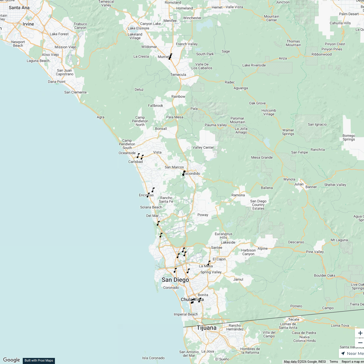
Escondido Transportation Map
A detailed map showcasing various means of transportation in and around Escondido, CA, including public transit routes, bike paths, and major roads.
Made by Diego Guillen's WorkspaceUpdated Nov 2024
- Bike Paths 5
- Public Transit 4
- Car Rentals 3
- Parking Areas 3
- Rideshare Services 2
Places on This Map
17 places · 5 groupsNearby Maps
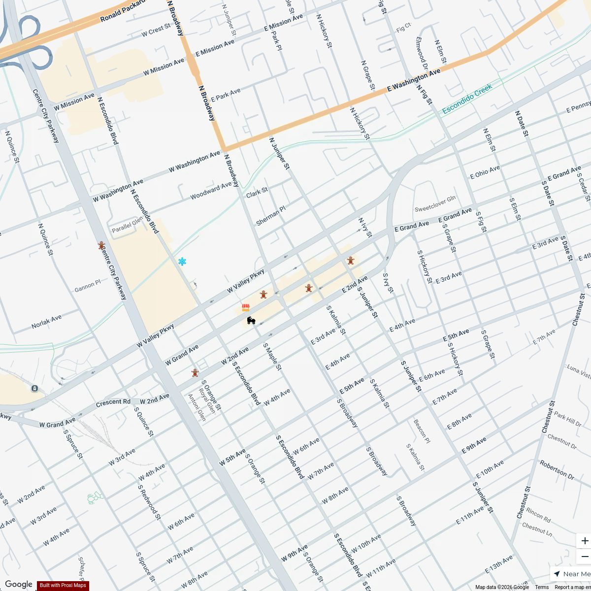
2nd Saturday Escondido
25 stops Downtown Escondido Workspace
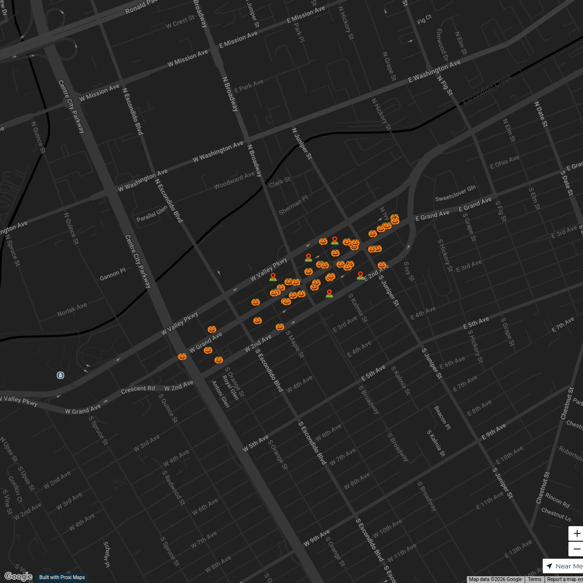
Trick or Treat on Grand
47 stopsDowntown Escondido WorkspaceThe Great MAGEC Bakeoff Map
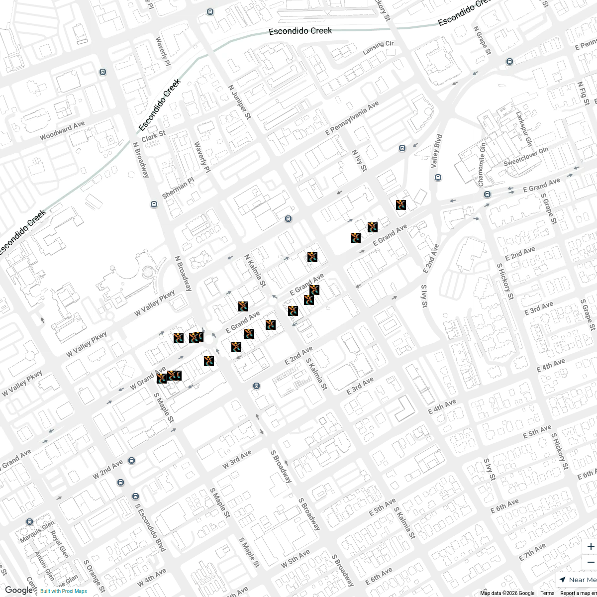
8 stopsDowntown Escondido WorkspaceApril Grand Avenue Sticker Stroll
18 stopsDowntown Escondido WorkspaceRady Children's Satellite Locations
19 stops Ryan Morrison's Workspace
Summer Strawberry Crawl
37 stops Carlsbad Chamber of Commerce
This map was made with Proxi
Have a main street, a market, or a story worth walking? Make your own map in a few minutes.