
Map · 19 places
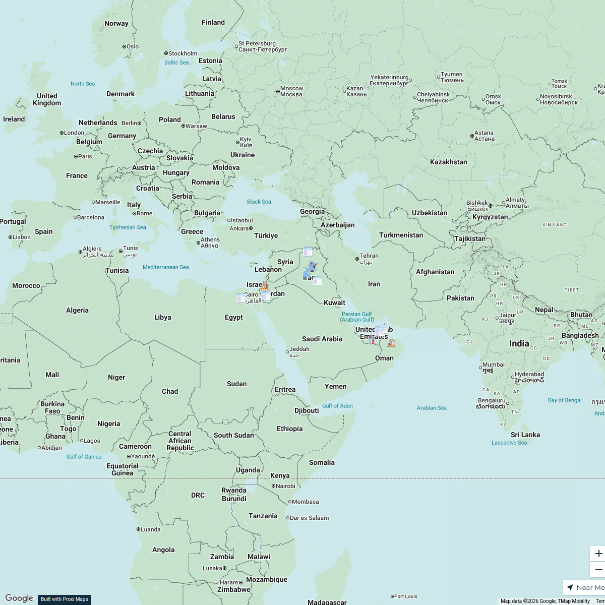
Irrigation and Water Sources in Nizwa
A detailed map highlighting the faljes branches, water sources, and irrigation systems in and around Nizwa, Oman. This map aims to showcase the ancient irrigation techniques and water management strategies that are crucial for agriculture in this region.
Made with ProxiUpdated Oct 2024
- Cultural Heritage 9
- Irrigation Systems 4
- Faljes 3
- Water Sources 2
- Agricultural Areas 1
Places on This Map
19 places · 5 groupsNearby Maps
Mesopotamia Waterways
17 stops · Middle East isaac's Workspace
Community Map
Hawiya vibes in Bahla
5 stopsShared by the Proxi communityCommunity Map
Al Mussanah Simplified Map
26 stopsShared by the Proxi communityCommunity Map
Renewable Energy Initiatives in Oman
3 stopsShared by the Proxi communityCommunity Map
Peaceful Oman Highways
15 stops · OmanShared by the Proxi communityCommunity Map
Explore Arabian Village, Oman
16 stops · Oman, عمانShared by the Proxi community
This map was made with Proxi
Have a main street, a market, or a story worth walking? Make your own map in a few minutes.