
Map · 10 places
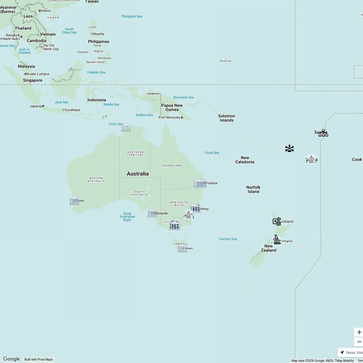
Browns Plains & Algester Region Map
A detailed map focusing on Browns Plains, part of the Algester electorate in Brisbane, QLD, Australia. This map includes key locations, neighborhoods, parks, and landmarks within the area to aid navigation and exploration.
Made with ProxiUpdated Oct 2024
- Community Services 2
- Parks and Recreation 2
- Schools 2
- Shopping Centers 2
- Historical Sites 1
- Public Transport 1
Places on This Map
10 places · 6 groupsNearby Maps
daily route (mostly)
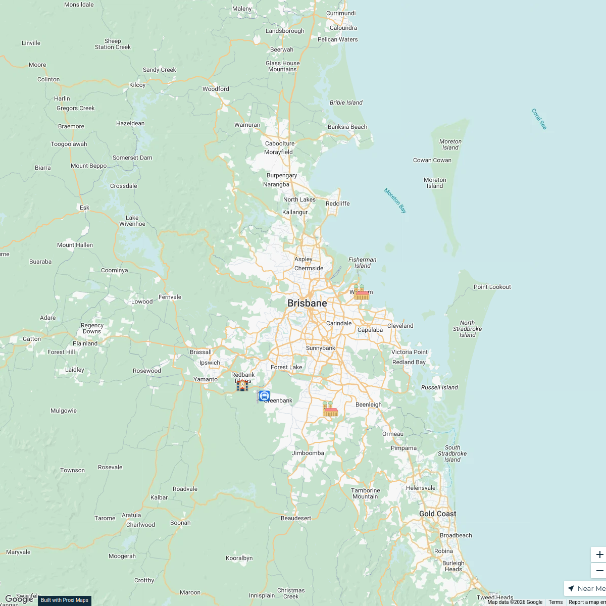
5 stops · Brisbane QLD, Australia Vance Brownlie's Workspace
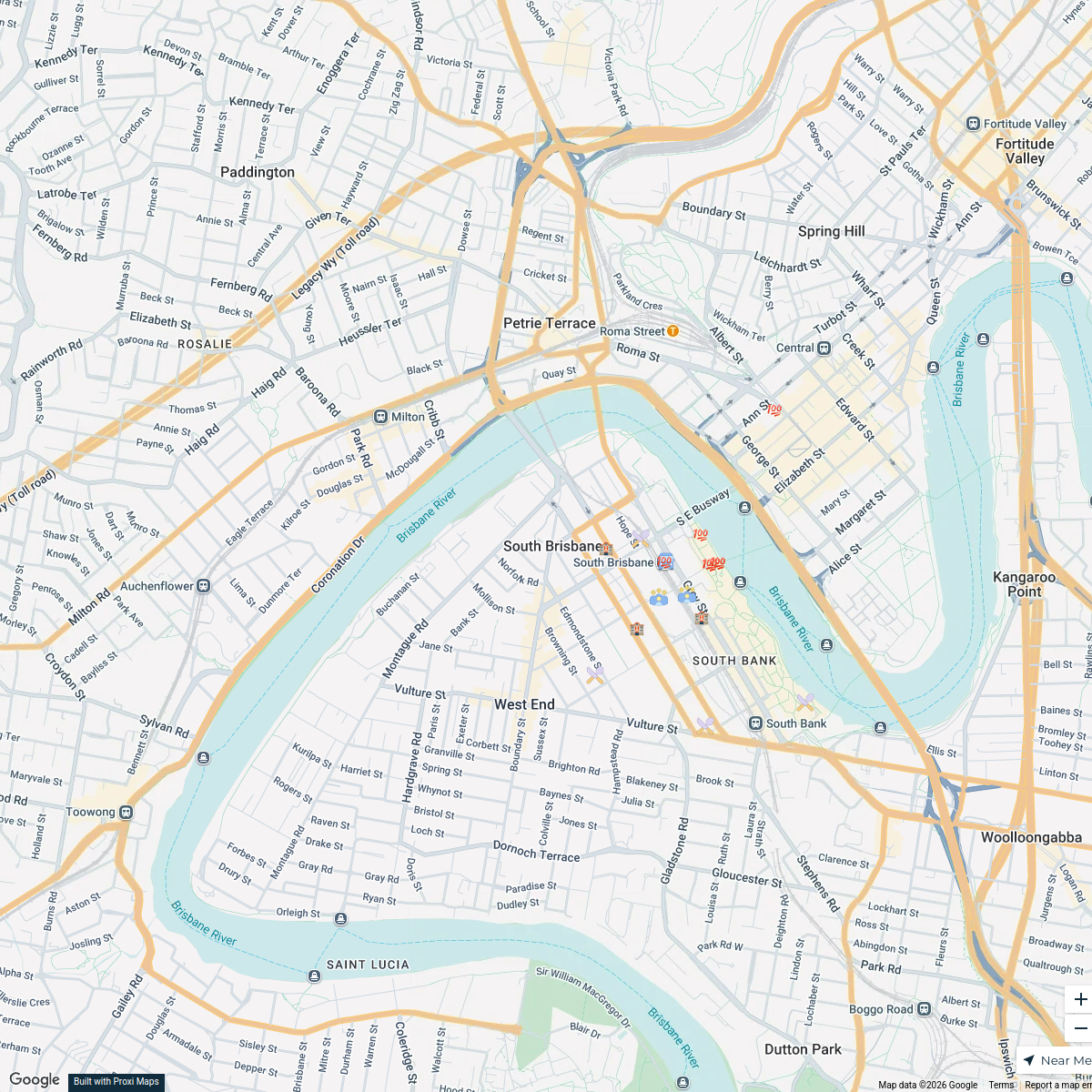
South Brisbane Conference Attendees Map
17 stops · South Brisbane, South Brisbane QLD, Australia Steve P's Workspace
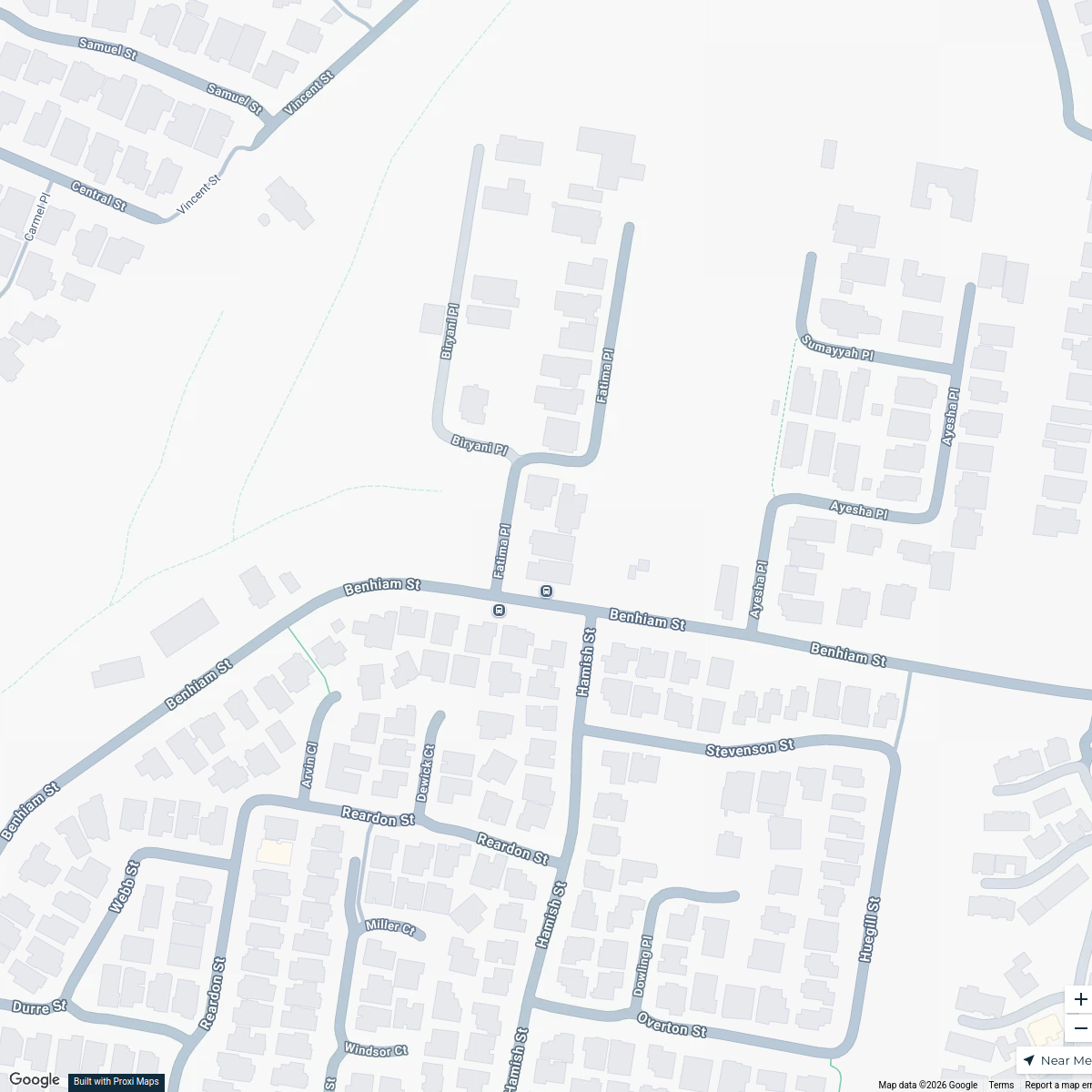
Calamvale Halloween Map
8 stops · 3 Fatima Place, Calamvale QLD, AustraliaMandeep Chahal's WorkspaceLights & Smiles Map
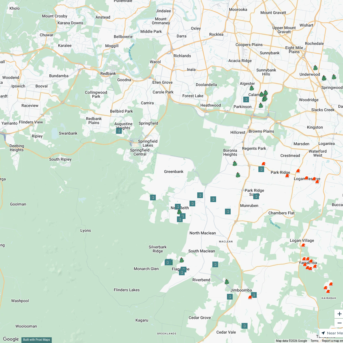
68 stops · Greenbank, Greenbank QLD 4124, Australia Anna Dunsdon's Workspace
Information Integrity Network
46 stopsUNIC Mapping's WorkspaceHairy Pony Australia
166 stopshello's Workspace
This map was made with Proxi
Have a main street, a market, or a story worth walking? Make your own map in a few minutes.