
Map · 18 places · Vancouver, WA
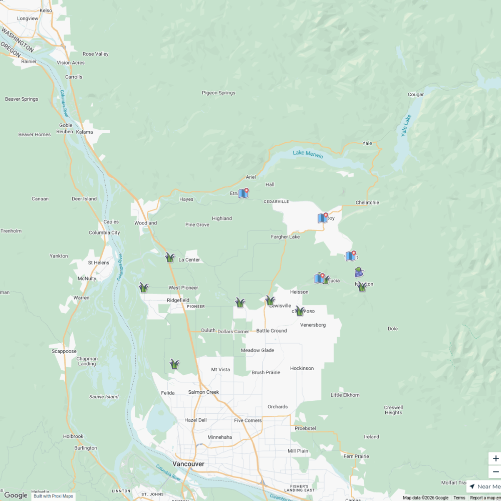
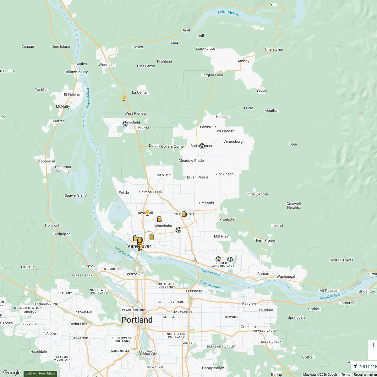
Vancouver Transportation Map
A comprehensive map showcasing the various transportation infrastructures in Vancouver, WA, including streets, parking lots, bus stations, train lanes, and bike lanes.
Made with ProxiUpdated Oct 2024
- Public Transit 6
- Urban Planning 4
- Biking 3
- Parking 3
- Transportation 2
Places on This Map
18 places · 5 groupsNearby Maps
Downtown & Uptown Vancouver, WA Mural Map
90 stops · 1220 Main Street, Vancouver, WA, USA Visit Vancouver WA's Workspace
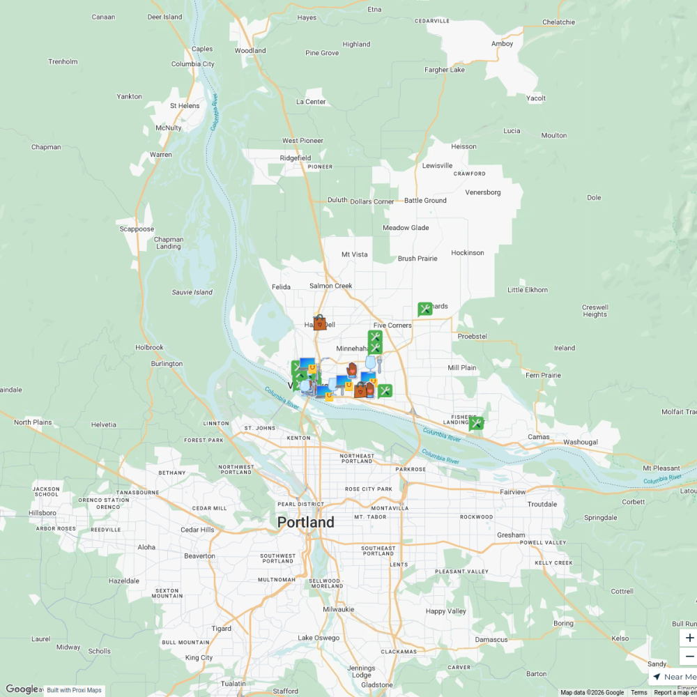
Black-Owned Businesses in Vancouver
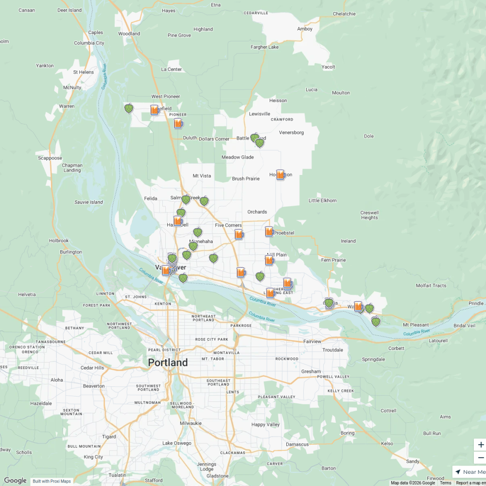
33 stops · Minnehaha, WA, USAVisit Vancouver WA's WorkspaceVancouver, WA Breweries & Taprooms
44 stops · North Image, Vancouver, WA, USAVisit Vancouver WA's WorkspacePortland filming locations
40 stops · Downtown Portland, Portland, OR, USA PDXtoday
Portland happy hours
30 stops · Portland, OR, USAPDXtodayWhere to watch FIFA in Vancouver WA
20 stopsVisit Vancouver WA's Workspace

This map was made with Proxi
Have a main street, a market, or a story worth walking? Make your own map in a few minutes.