
Map · 18 places
Spånga-Tensta District Map
A detailed map focused on the Spånga-Tensta area in Stockholm, Sweden, highlighting key locations, streets, and features relevant to the community.
Made with ProxiUpdated Oct 2024
- Parks and Recreational Areas 4
- Schools and Educational Institutions 4
- Cafes and Restaurants 3
- Public Transport Stations 3
- Shopping Centers and Markets 3
- Housing and Apartment Complexes 1
Places on This Map
18 places · 6 groupsNearby Maps
Sollentuna Area Map
21 stops · Sollentuna, Sweden LK
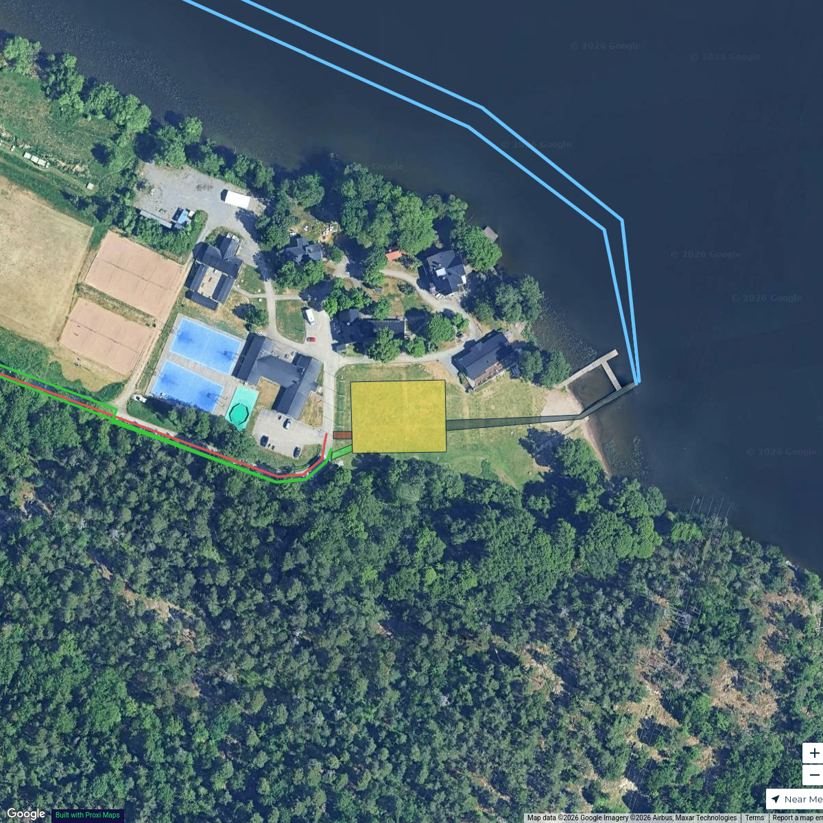
Vasea Sprint Triathlon
9 stops Emil Franzén's Workspace
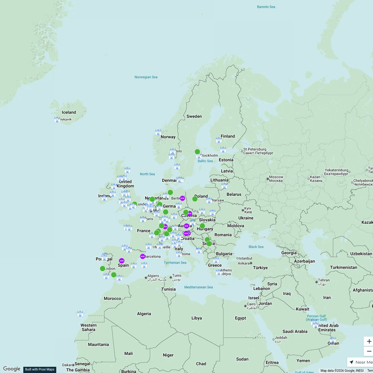
Explore Europe
116 stops · EuropeDavid Ralita's WorkspaceCluditos por el Mundo
20 stopsjonbanales1's WorkspaceMap
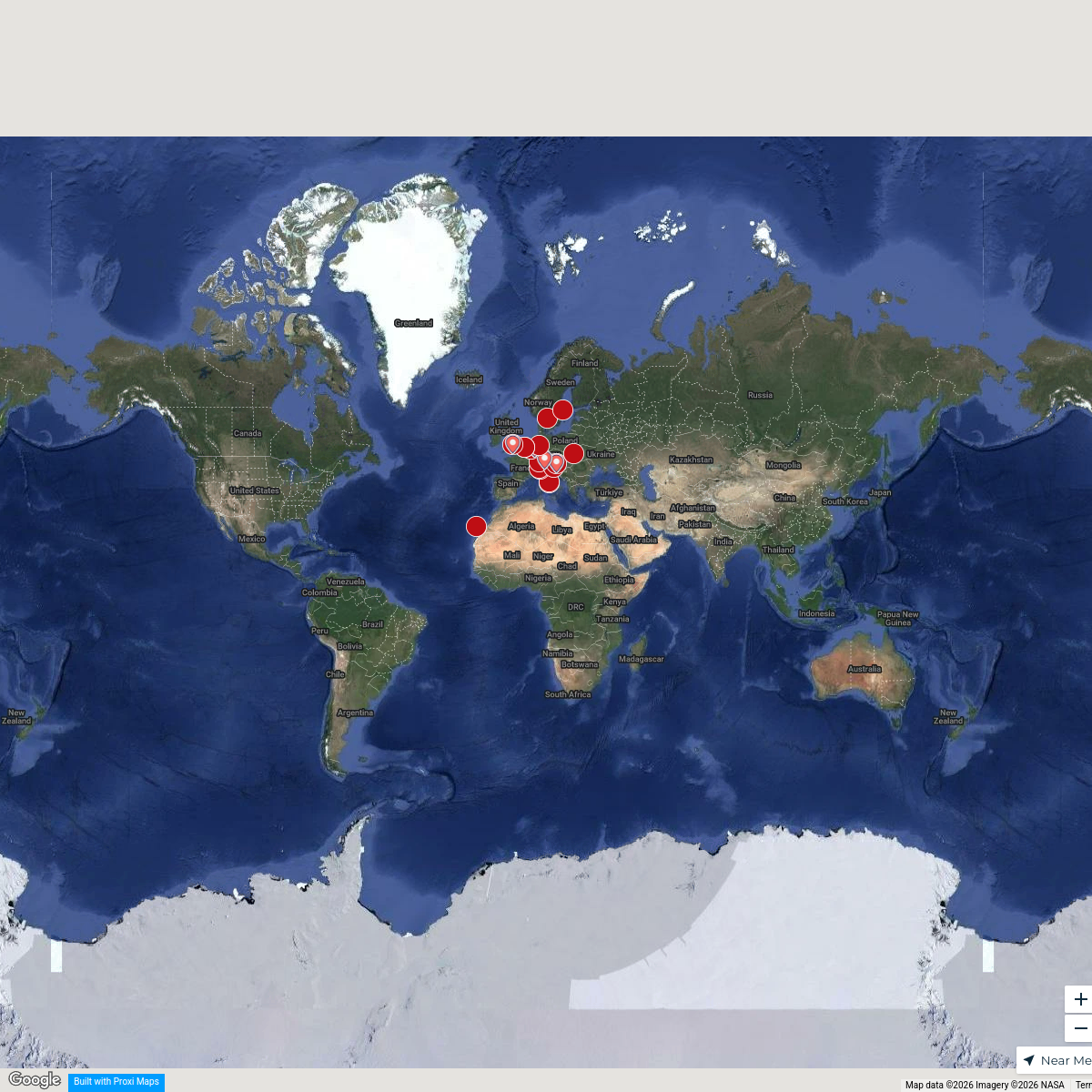
683 stopsSophia's WorkspaceSeek Discomfort Adventure Map
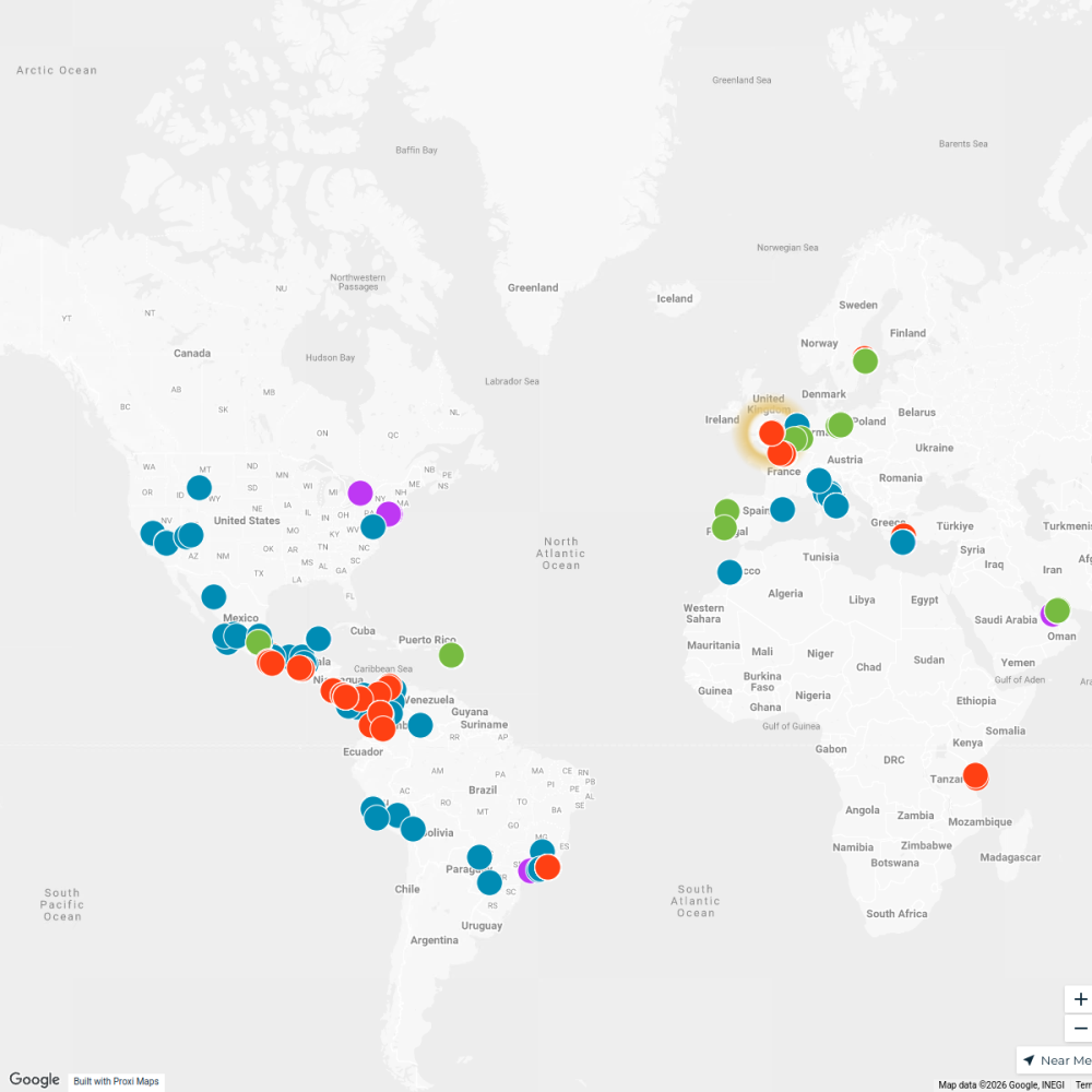
974 stops Seek Discomfort's Adventure Map

This map was made with Proxi
Have a main street, a market, or a story worth walking? Make your own map in a few minutes.