
Map · 1 place
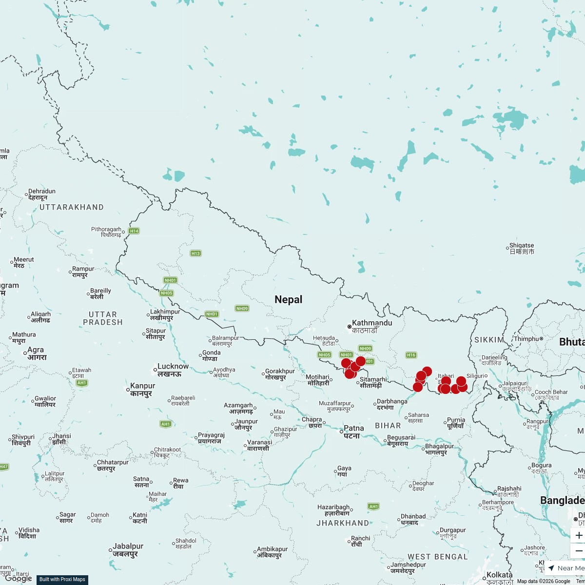
Kankai River and Itahari Exploration
A detailed map focusing on the scenic Kankai River and surrounding areas of Itahari, Nepal, showcasing natural beauty, urban features, and local attractions.
Made by Jivan Gurung's WorkspaceUpdated Oct 2024
Places on This Map
1 placeOpen the map to see what’s on it.
Nearby Maps
ACF proposed response areas
21 stops · Nepal Action Against Hunger ACF's Workspace
Community Map
Explore Jhumka
15 stops · Itahari, NepalShared by the Proxi community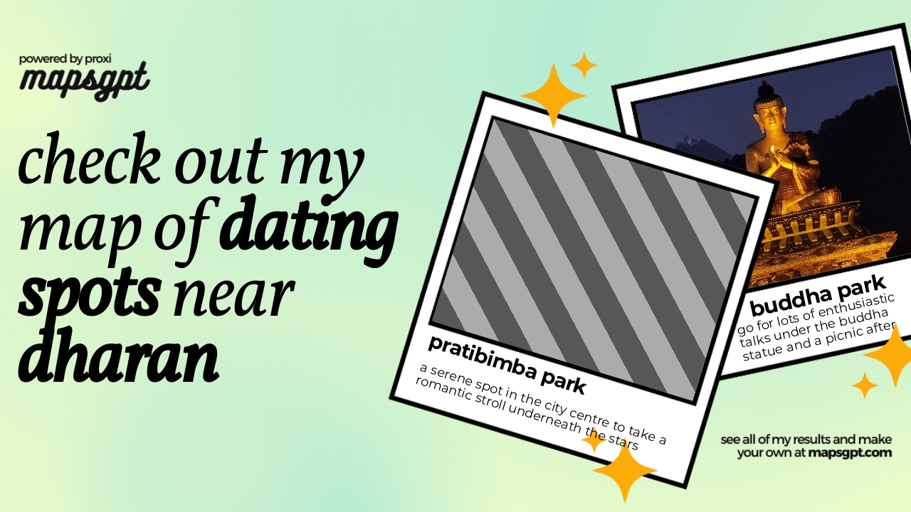 Community Map
dating spots near dharan
4 stops · Dharan, NepalShared by the Proxi communityCommunity Map
St. Mary's School Master Plan
12 stops · St. Mary's School, F79J+WR7, Biratnagar 56613, NepalShared by the Proxi communityCommunity Map
Biratnagar Map
21 stops · Biratnagar 56613, NepalShared by the Proxi community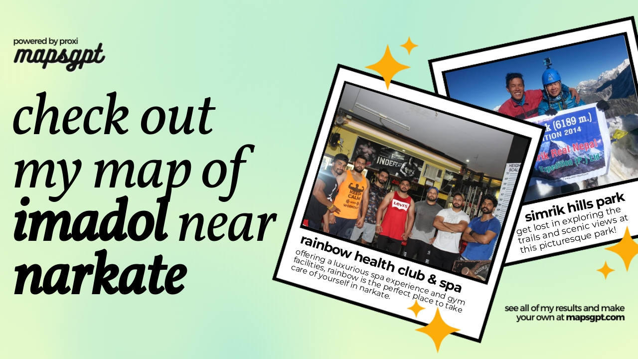 Community Map
imadol near narkate
10 stops · Narkate, Syabarumba 57400, NepalShared by the Proxi community
This map was made with Proxi
Have a main street, a market, or a story worth walking? Make your own map in a few minutes.