
Map · 13 places
Characteristics of the Bow River Basin
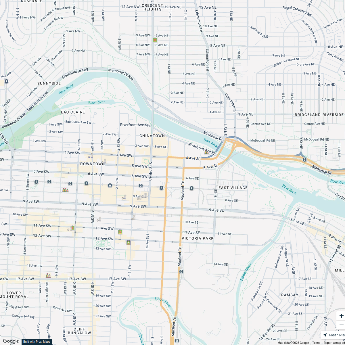
This map illustrates the characteristics of the Bow River and its surrounding watershed, including flood plains, sediment load, flow direction, and key geographical features like glaciers and mountains. The map extends across parts of Alberta, British Columbia, Saskatchewan, and the USA, highlighting areas of faster and slower flow, riparian zones, and meandering sections. Key points of interest, such as the Bow Glacier, Bow Lake, and the continental divide, are detailed, providing a comprehensive overview of the Bow River's hydrology and ecology centered around Calgary, AB.
Made with ProxiUpdated Oct 2024
- Water Bodies 9
- Watershed Areas 2
- Flood Plains 1
- Sediment Transport 1
Places on This Map
13 places · 4 groupsNearby Maps
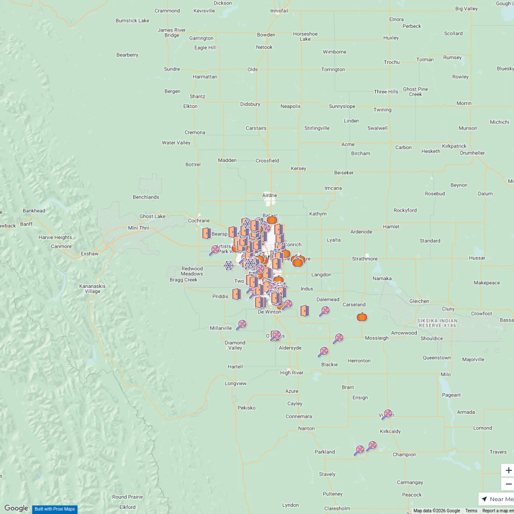
Calgary Trick-Or-Treat-Map
230 stops · Calgary, AB, CanadaCuriocityAdaptive Engineering (Lifts Sold)
765 stops · Calgary, AB, Canada graham.smith's Workspace
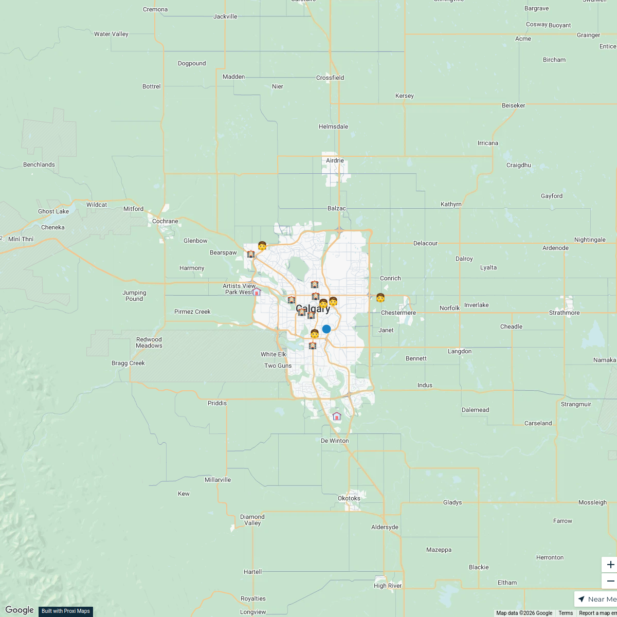
Calgary Day Care Locations
20 stops · Calgary, AB, Canada Talha Abo Safi's Workspace
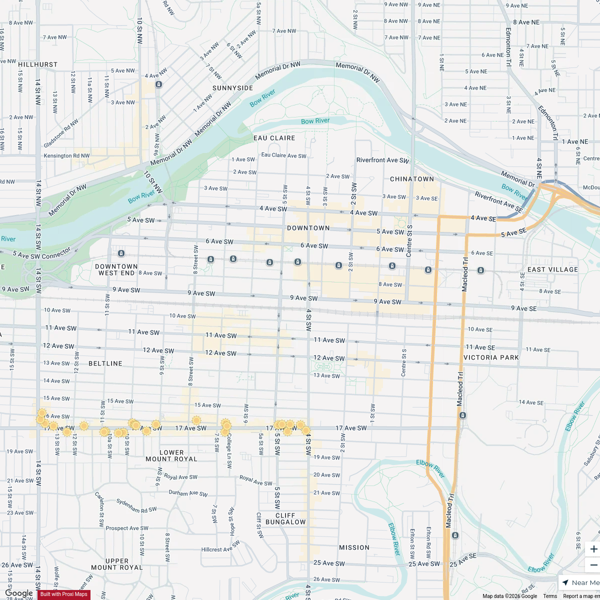
17th Ave Patio Guide
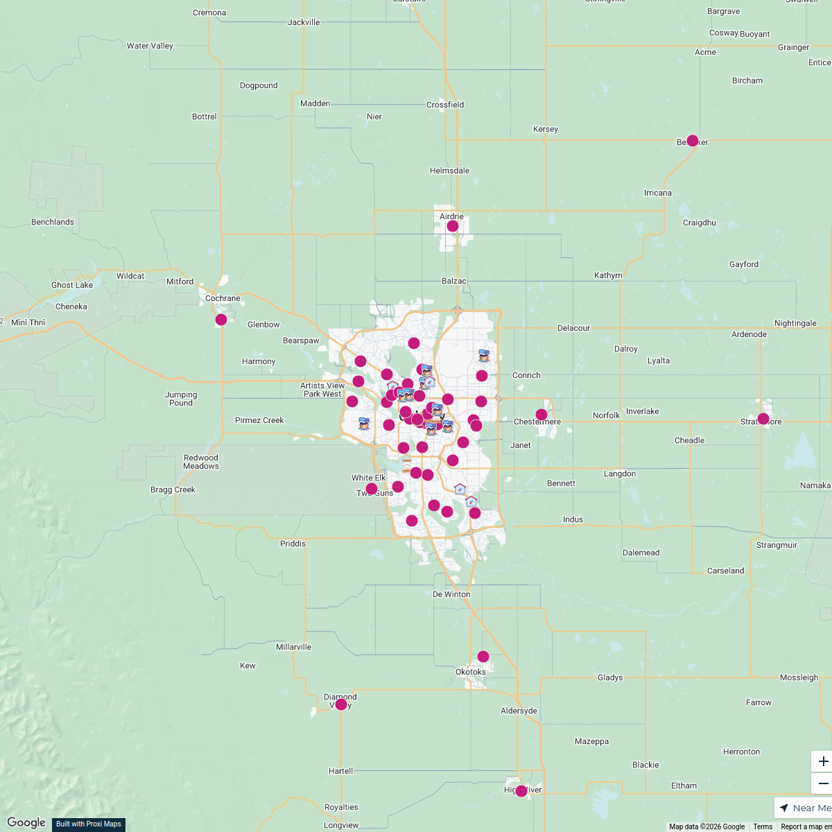
25 stops · Calgary, AB, Canadataylor's WorkspaceCalgary Parishes Map
100 stops · Calgary, AB, Canada geomatique.mb's Workspace
Downtown Calgary Pubs Map
18 stops · Downtown, Calgary, AB, CanadaStas M's Workspace

This map was made with Proxi
Have a main street, a market, or a story worth walking? Make your own map in a few minutes.