
Map · 13 places
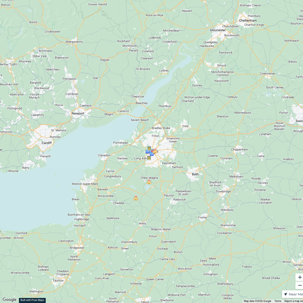
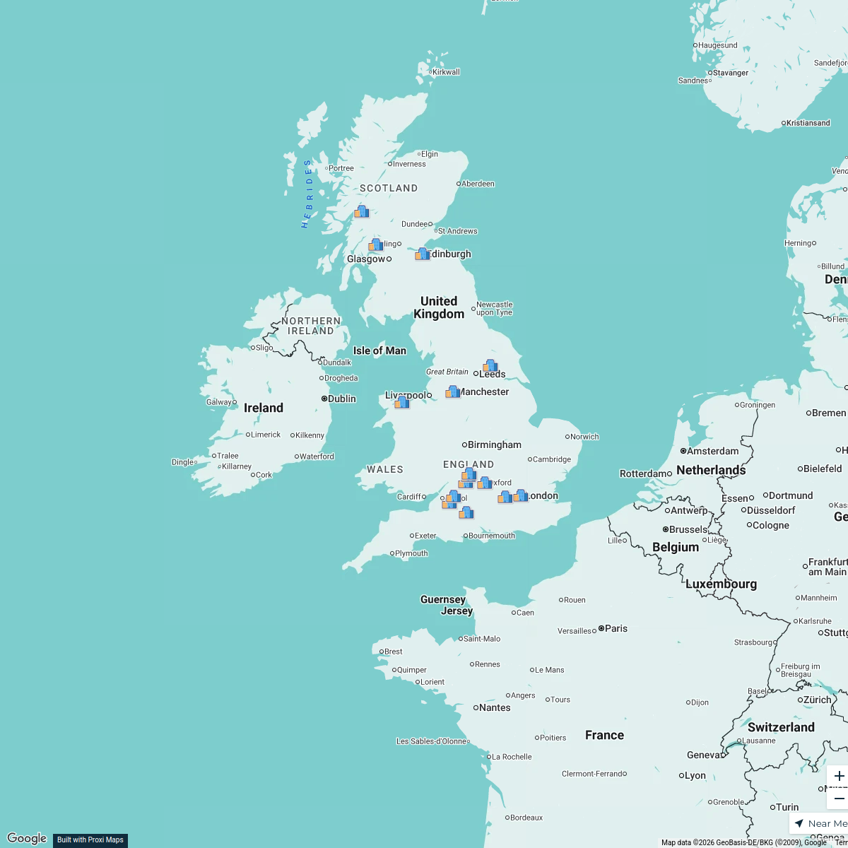
SWAST 2024 Service Area Map
A detailed map showcasing the 2024 service area of the South Western Ambulance Service Trust (SWAST) covering the southwestern counties in the UK. This map provides an overview of the regions serviced, highlighting key facilities, emergency response zones, and infrastructure relevant to SWAST operations.
Made with ProxiUpdated Oct 2024
- AMBULANCE STATIONS 6
- HOSPITALS WITH EMERGENCY DEPARTMENTS 6
- MAJOR CITIES AND TOWNS IN EVERY COUNTY 1
Places on This Map
13 places · 3 groupsNearby Maps
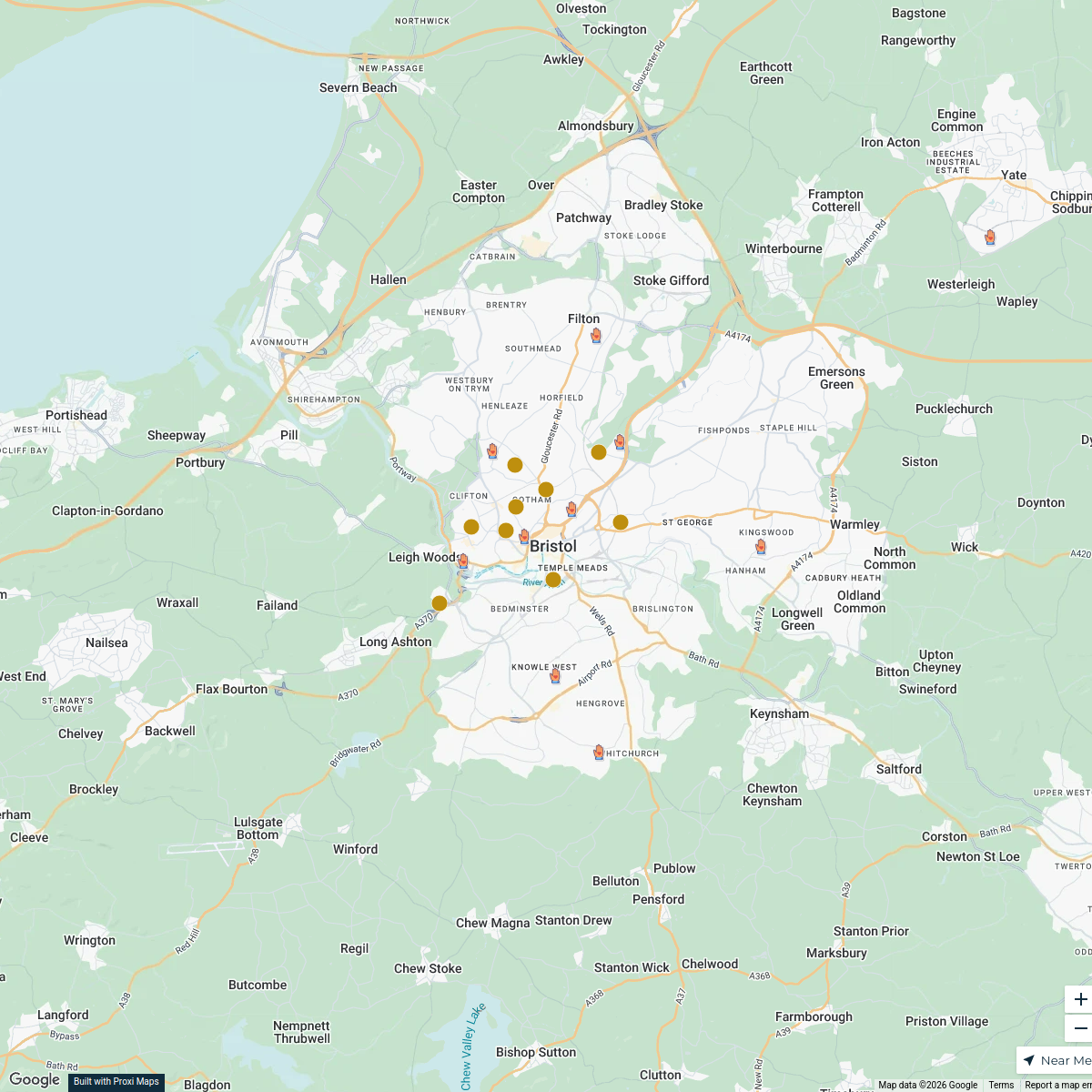
Live Music Venues in Bristol
18 stops · Bristol, UK Alan J Hegarty's Workspace
Primary and Secondary Schools
19 stops · Bristol, UK Ben Hetherington's Workspace
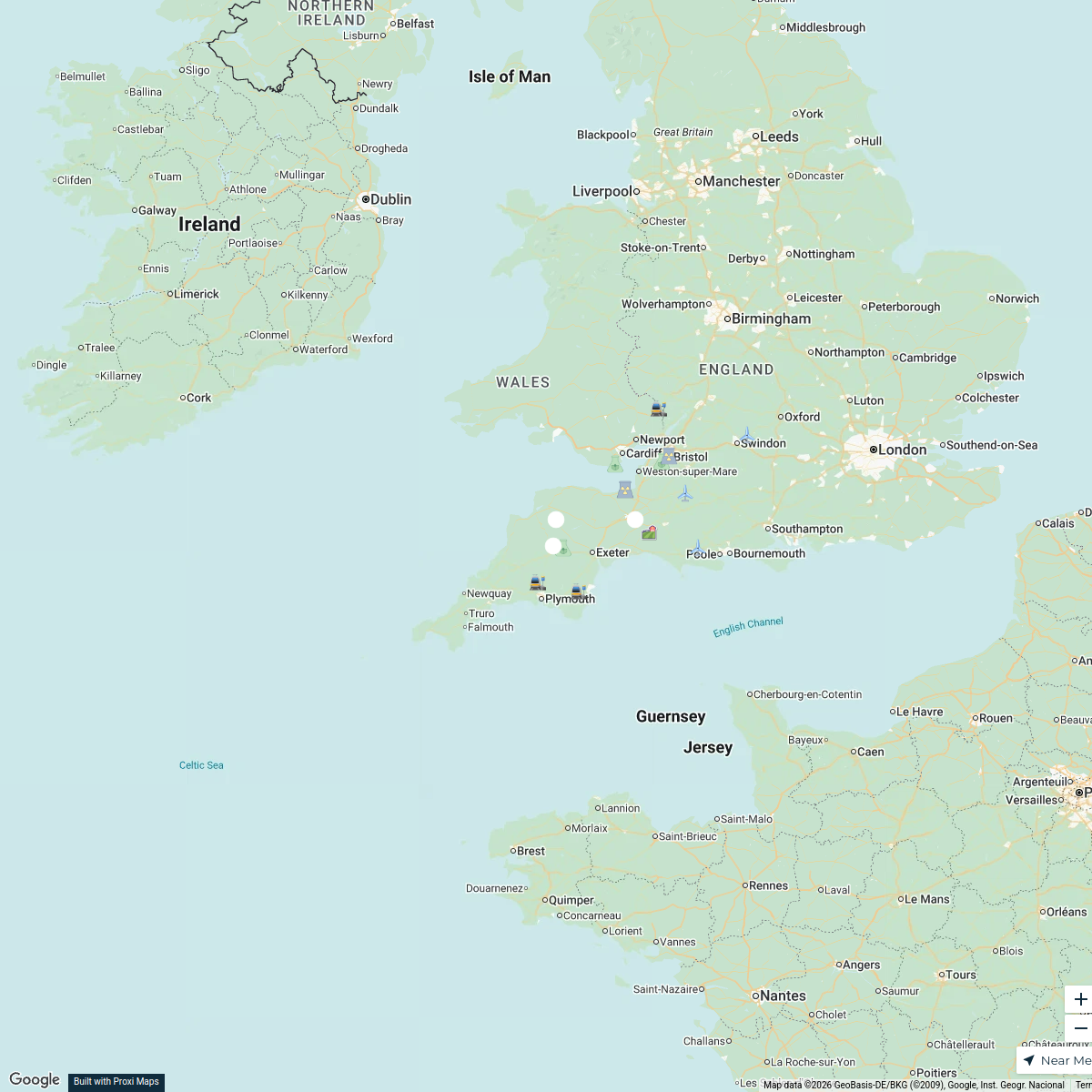
South West England Power Map
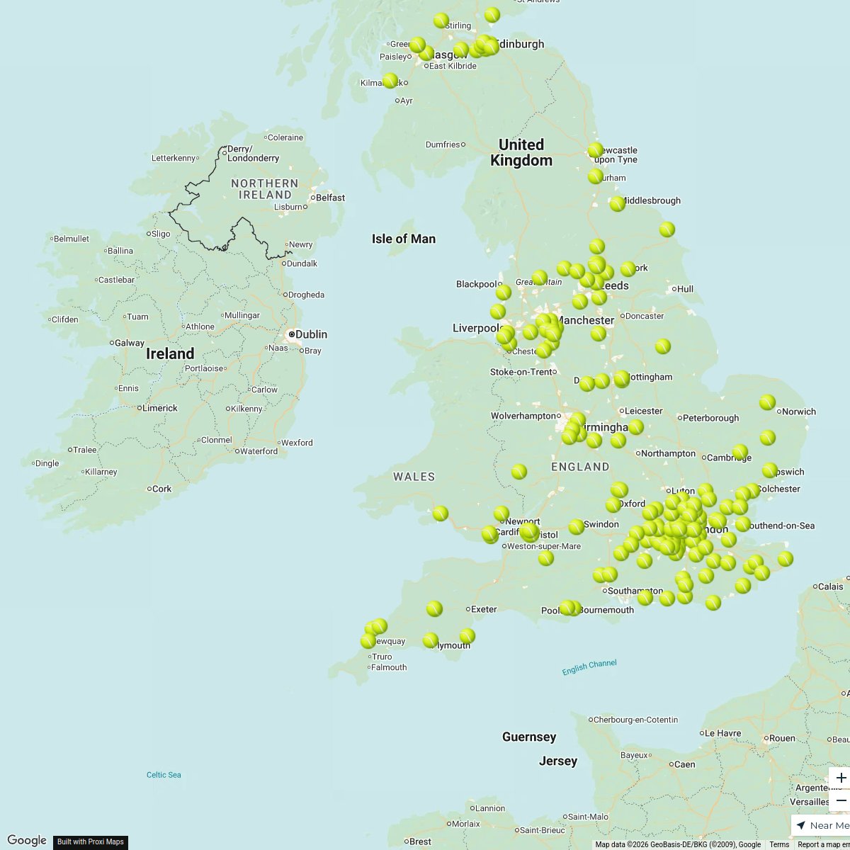
16 stops · South West England, UKmatt selby's WorkspacePadel Courts in the UK
196 stopsDarren Lock's WorkspaceUK Trip
15 stopsAditya Santhanam's WorkspaceCBUK/WW map!
64 stopsskirkwood-horne's Workspace
This map was made with Proxi
Have a main street, a market, or a story worth walking? Make your own map in a few minutes.