
Map · 13 places
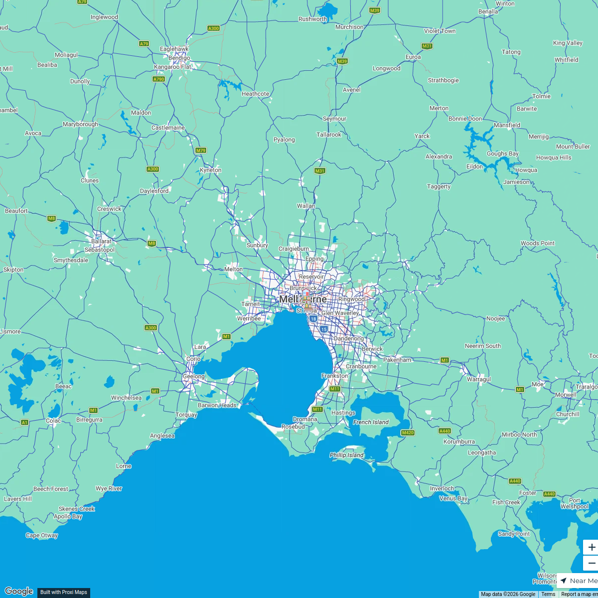
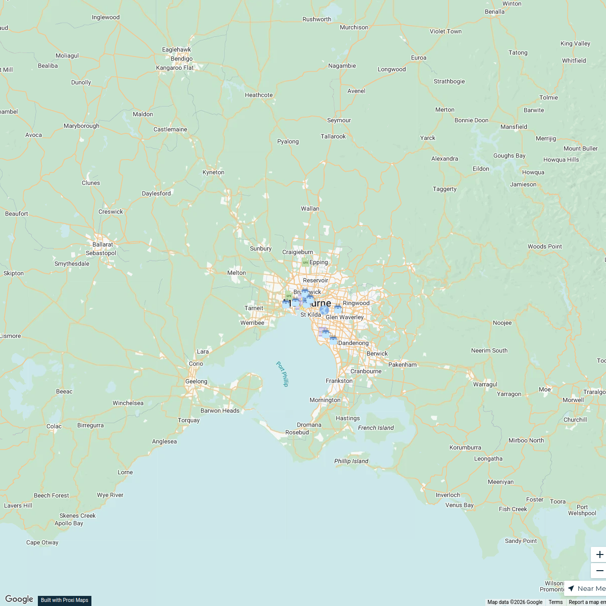
Melbourne Flight Paths
This map displays the various flight paths taken by aircraft approaching and departing from Melbourne, VIC, Australia. It provides a visual representation of air traffic routes, helping to understand the connectivity and air travel patterns associated with Melbourne's airports.
Made with ProxiUpdated Oct 2024
- Airports 10
- Flight Paths 3
Places on This Map
13 places · 2 groupsNearby Maps
Melbourne Birthday Trip
18 stops · Melbourne, Melbourne VIC, Australia cleoawalkley's Workspace
Cricket Bat Material Transport Routes
16 stops · Melbourne VIC, Australia arindamghose723's Workspace
Melbourne's Free & Cheap Eats
1 stop · Melbourne VIC, Australiaandrew.bottriell's WorkspaceMelbourne Attractions
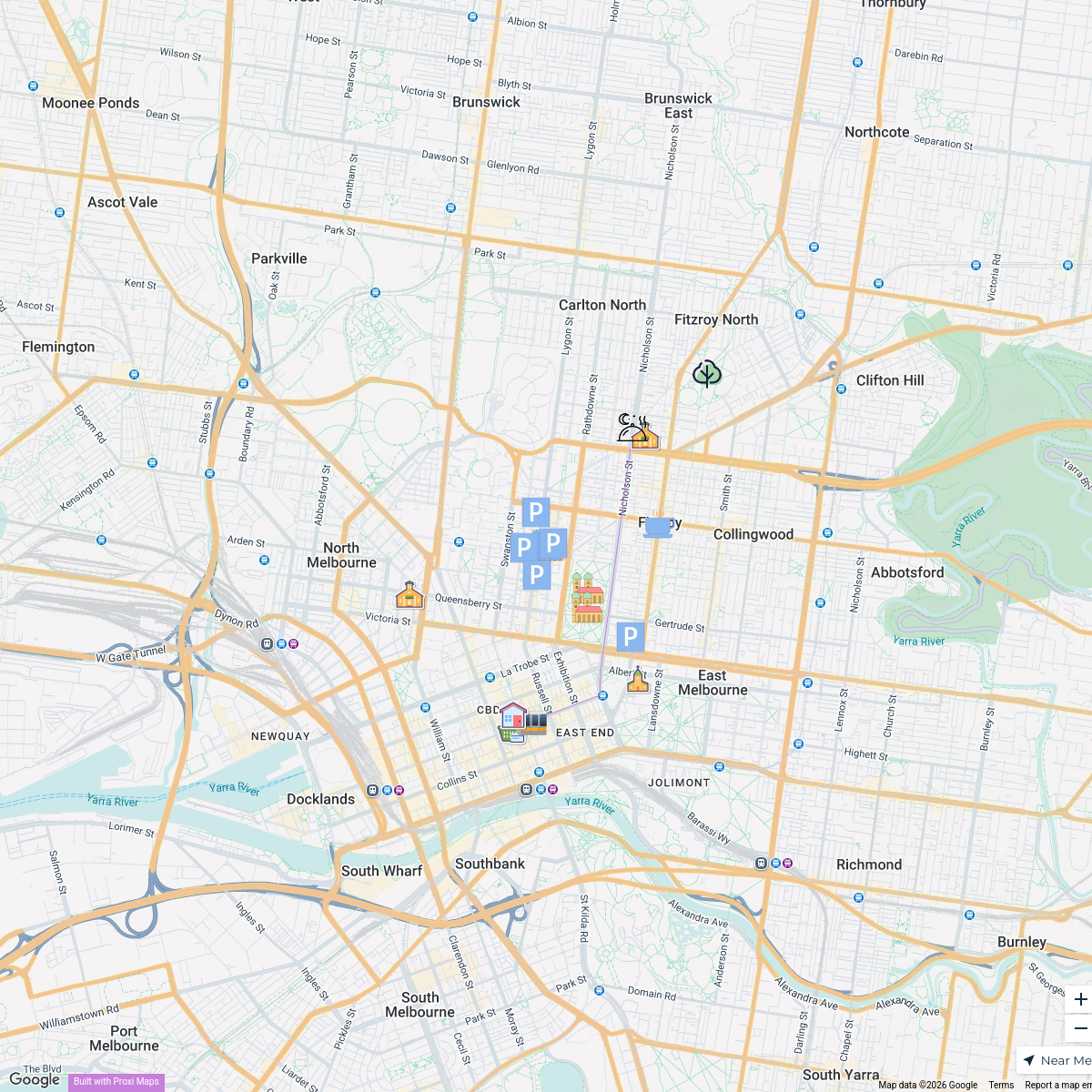
23 stops · Melbourne VIC, AustraliaScott Annable's WorkspaceAll Staff Gathering Map
19 stopsnaomi.scott's WorkspaceTrick or Treat Map 2024
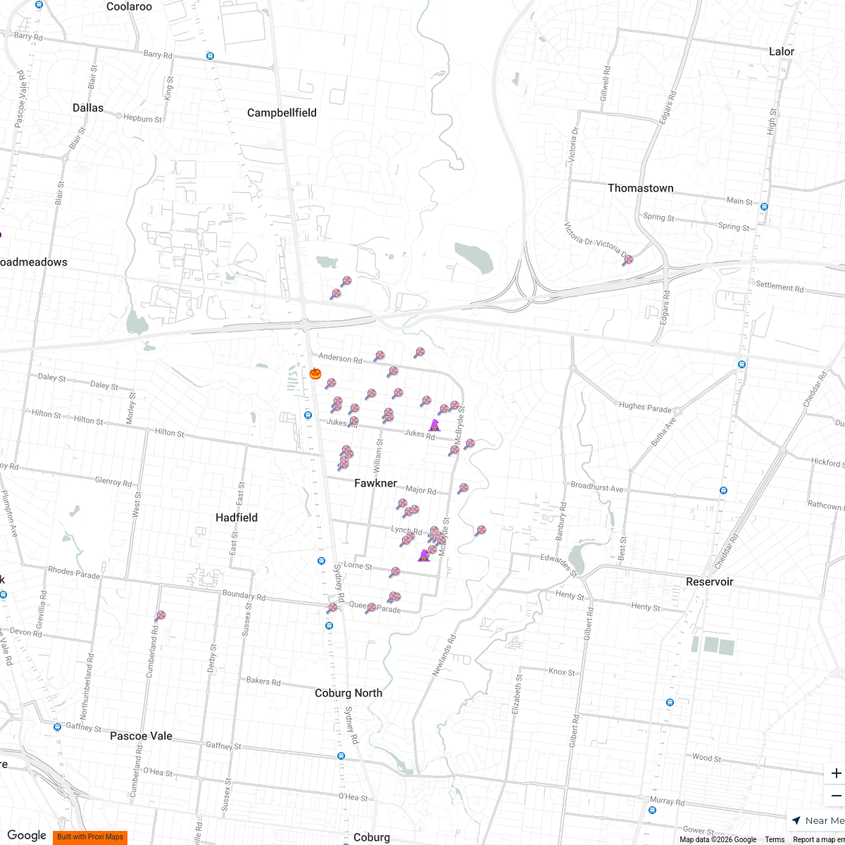
54 stopsSarah's Workspace
This map was made with Proxi
Have a main street, a market, or a story worth walking? Make your own map in a few minutes.