
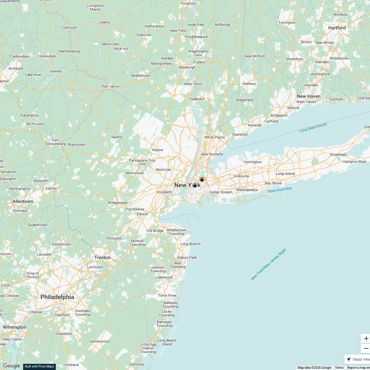
Map · 8 places · New York City, NY
Transportation to Times Square
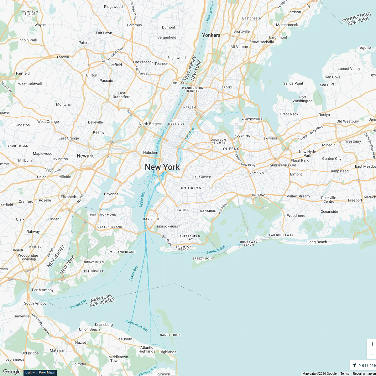
A comprehensive map showing all available modes of transportation that can reach Times Square from various starting points in New York City within 45 minutes during rush hour.
Made with ProxiUpdated Oct 2024
- Public Transit 5
- Rideshare Options 2
- Amtrak 1
Places on This Map
8 places · 3 groupsNearby Maps
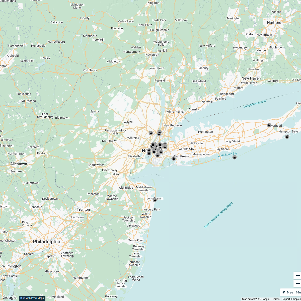
2026 Tribeca Festival
7 stops · New York mhayes's Workspace
New York Food Guide
2 stops · New York, Nueva York, EE. UU. thebrutal.clubnyc's Workspace
New York City Exploration Map
50 stops · New York, Nueva York, EE. UU. whatwecameforcorp's Workspace
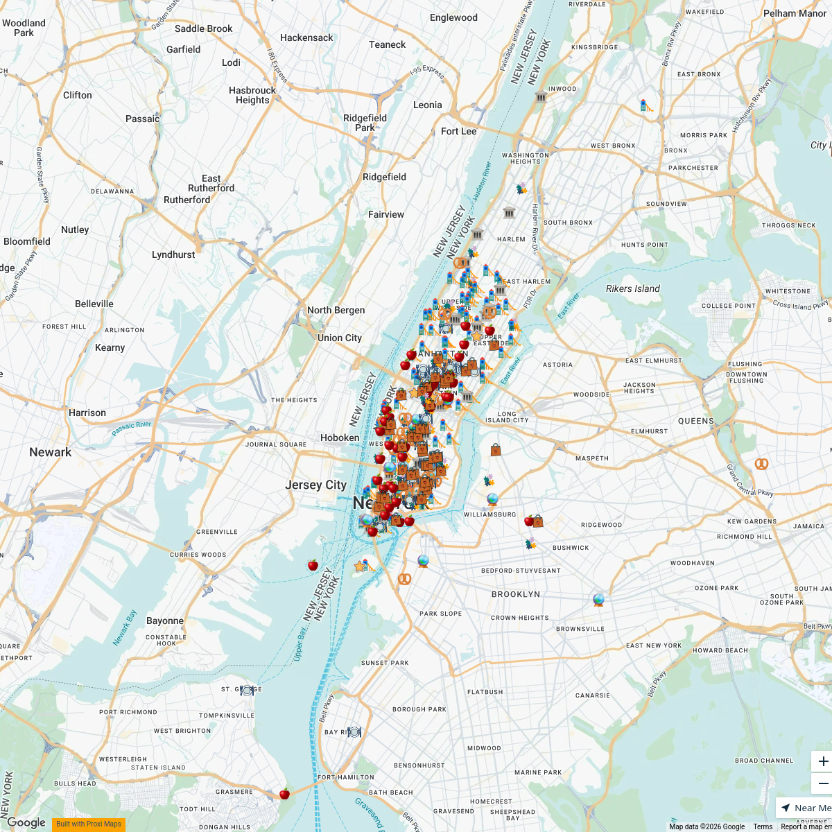
NYC with Kids
332 stops Travel Like Jess
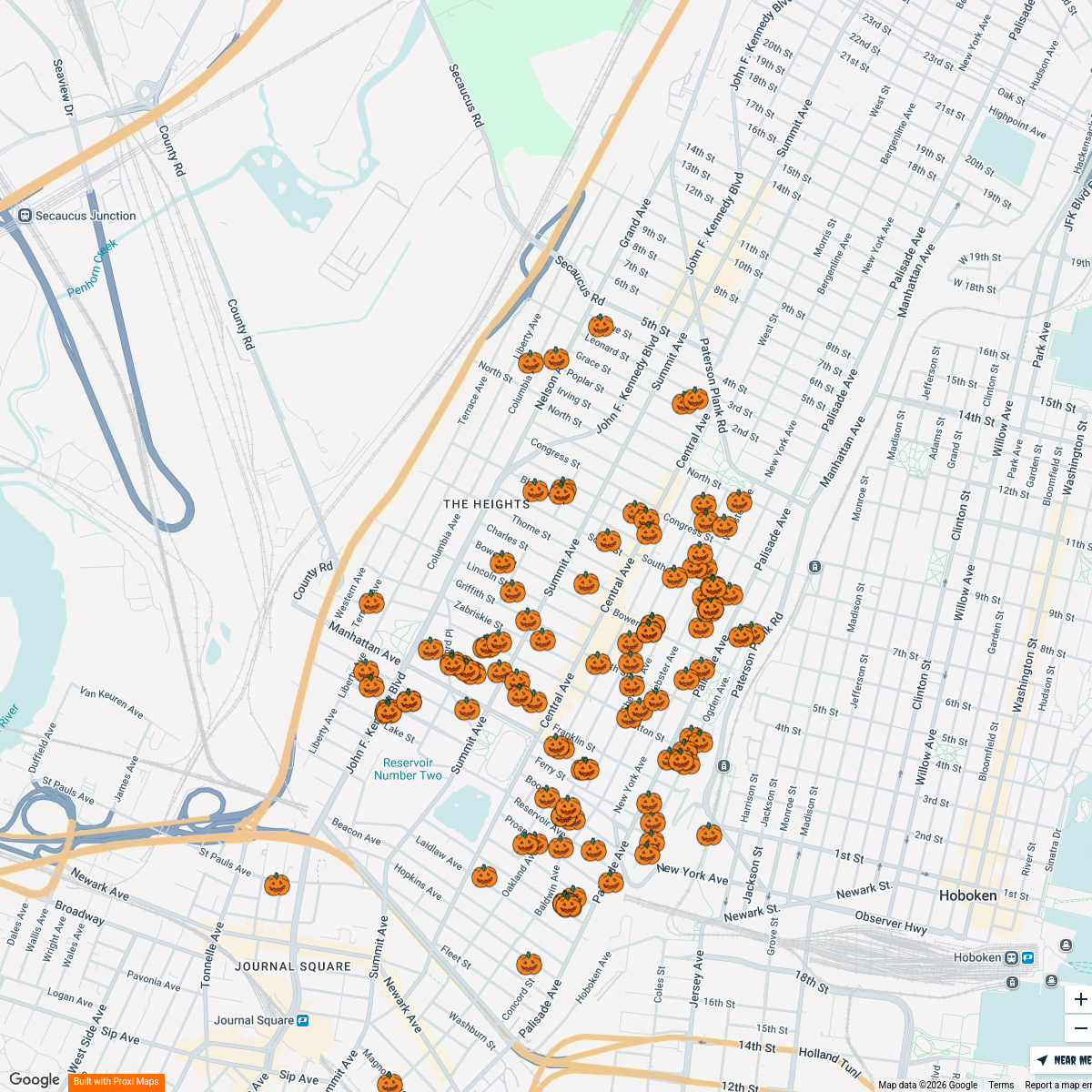
The Heights: Trick or Treat Map
114 stopsndanna86's WorkspaceLGSJ Trick-Or-Treat-Map 2024
9 stops · Brooklyn, NY, USAAdrianne Dias's Workspace

This map was made with Proxi
Have a main street, a market, or a story worth walking? Make your own map in a few minutes.