
Map · 21 places
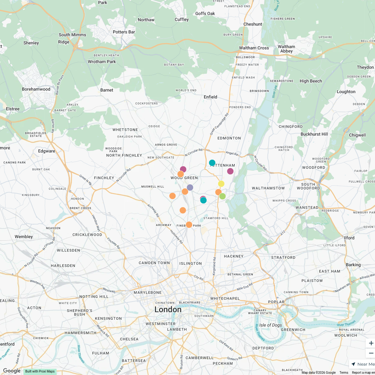
Emergency Services in Harringay, London
A detailed map showcasing all emergency services available in the Harringay area of London, UK. This includes hospitals, police stations, fire departments, and emergency service contacts and locations to assist residents and visitors in case of urgent needs.
Made with ProxiUpdated Oct 2024
- Community Support 5
- Ambulance Services 3
- Crisis Centers 3
- Fire Departments 3
- Hospitals 3
- Police Stations 3
- Shelters and Safe Houses 1
Places on This Map
21 places · 7 groupsNearby Maps
Haringey Community and Food Support
15 stops · London Borough of Haringey, London, UK spokengift1's Workspace
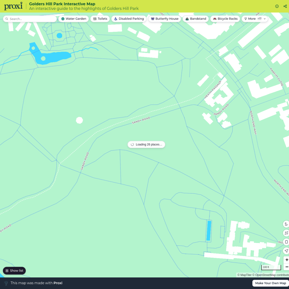
Golders Hill Park Interactive Map
26 stops mattwasser's Workspace
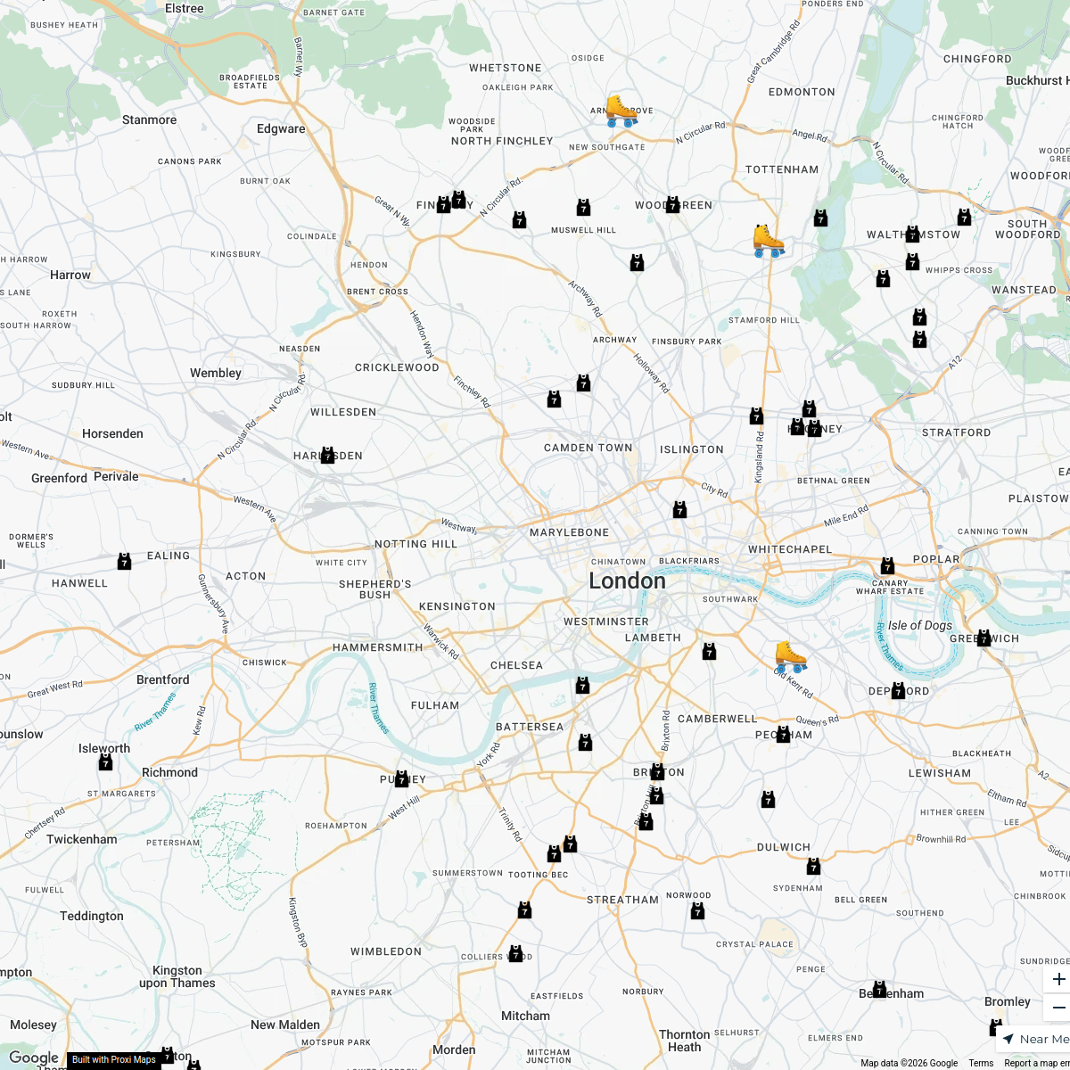
London Roller Derby
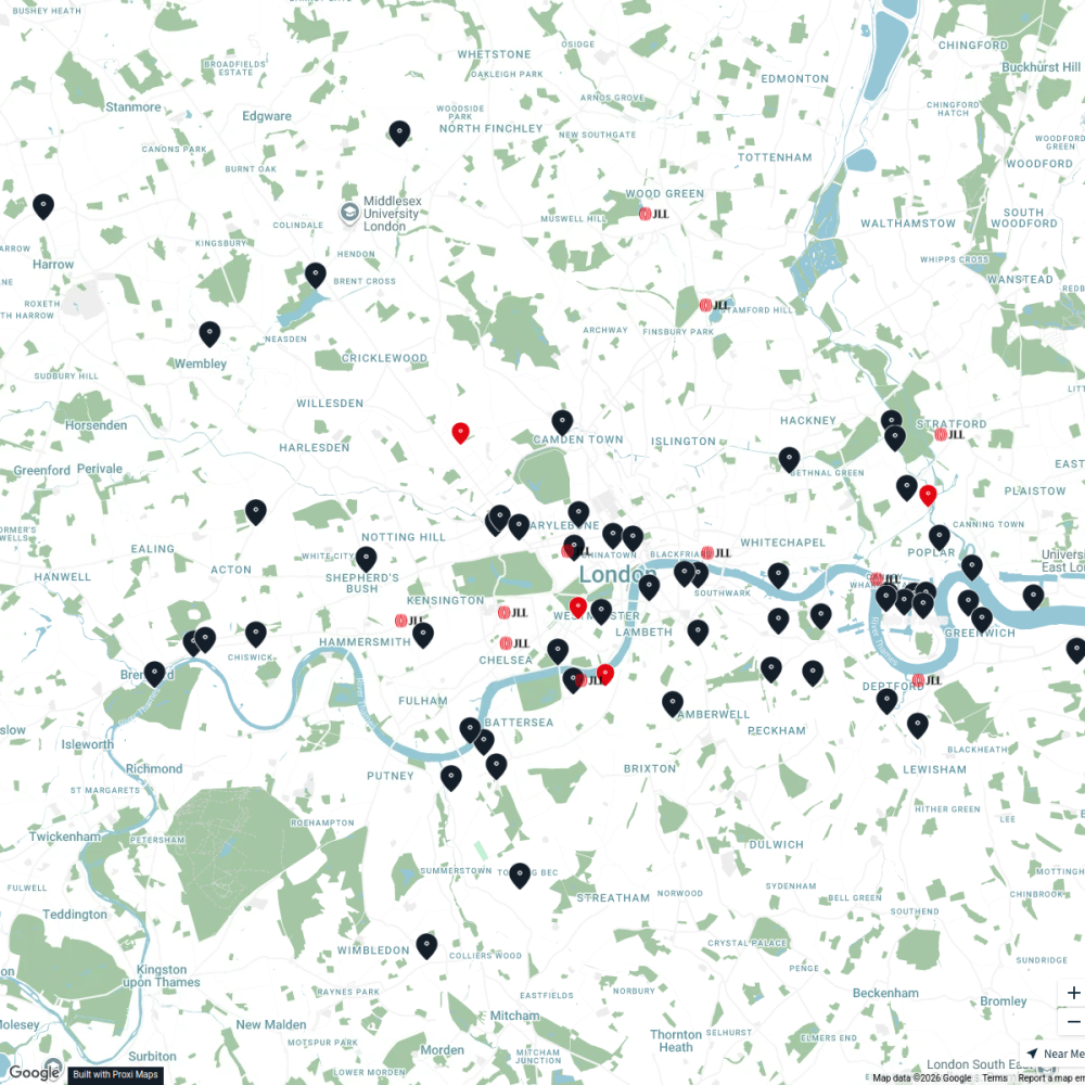
76 stopskatylw123's WorkspaceJLL Residential
76 stops JLL London
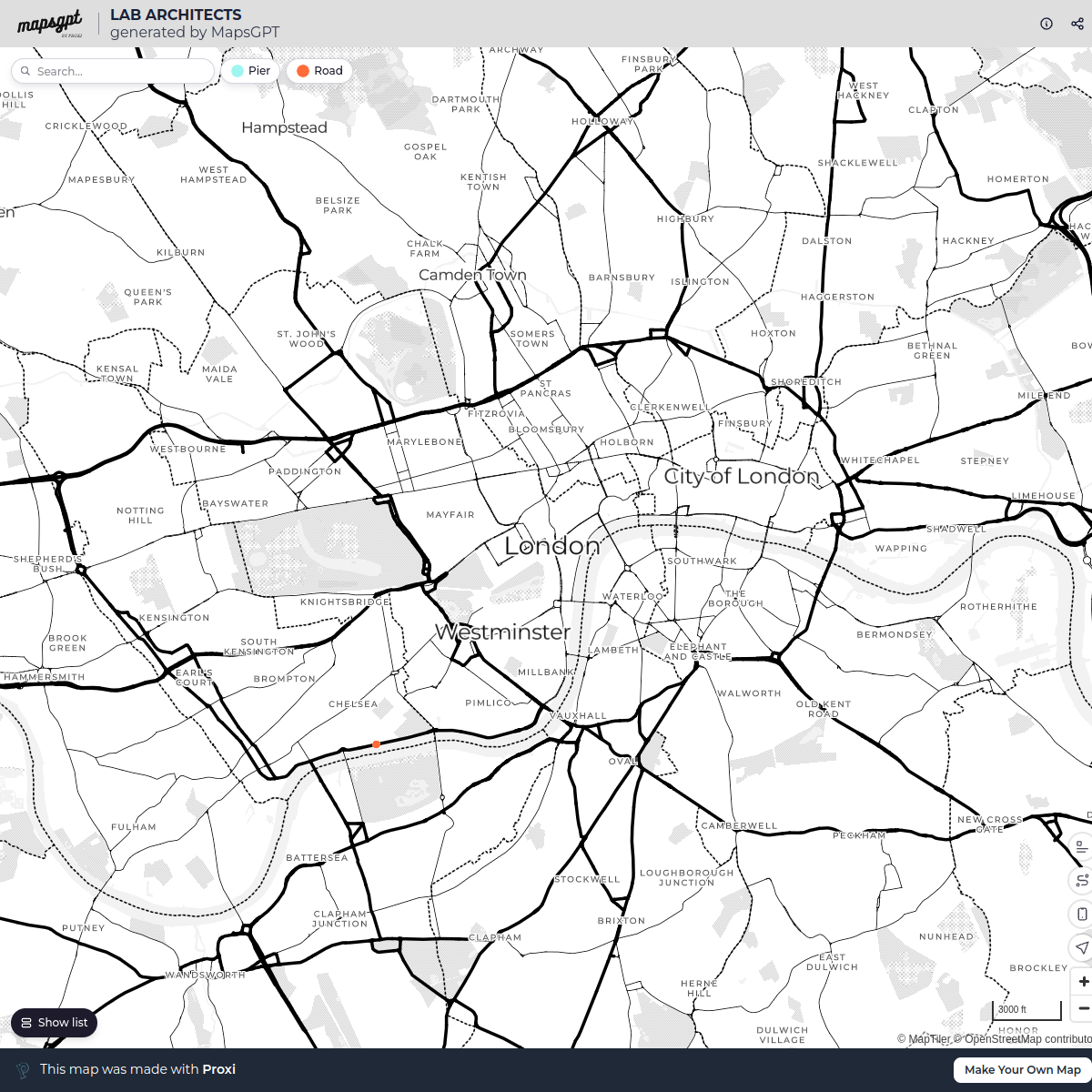
LAB ARCHITECTS
1 stop · London, UKgeorgie's WorkspaceTed Lasso London Filming Locations
42 stops · London London in Real Life's Workspace
This map was made with Proxi
Have a main street, a market, or a story worth walking? Make your own map in a few minutes.