
Map · 1 place
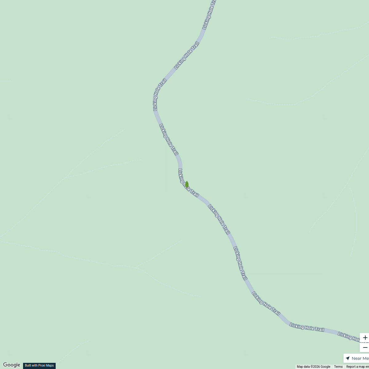
NSW Evacuation Map: Abercrombie Caves Campground
This map focuses on the evacuation routes and safety zones around the Abercrombie Caves campground, Grove Creek Falls Track, and Abercrombie River in New South Wales, Australia. It provides essential information for locals and visitors on how to safely navigate the area during emergencies.
Made with ProxiUpdated Oct 2024
- Campgrounds 1
Places on This Map
1 place · 1 groupNearby Maps
National Parks of New South Wales
9 stops · Abercrombie River National Park, Parc national de la Rivière Abercrombie, Lickin salome.dratwa's Workspace
 Community Map
wind turbines near Wellington NSW
7 stops · Wellington NSW 2820, AustraliaShared by the Proxi communityCommunity Map
Great Dividing Range Adventures
15 stops · New South Wales, AustraliaShared by the Proxi communityCommunity Map
Golden Rivers of NSW
9 stops · New South Wales, AustraliaShared by the Proxi communityCommunity Map
Explore the Natural Wonders of Australia
18 stops · AustraliaShared by the Proxi communityCommunity Map
Victoria Hydroelectric Plants
18 stops · AustraliaShared by the Proxi community
This map was made with Proxi
Have a main street, a market, or a story worth walking? Make your own map in a few minutes.