
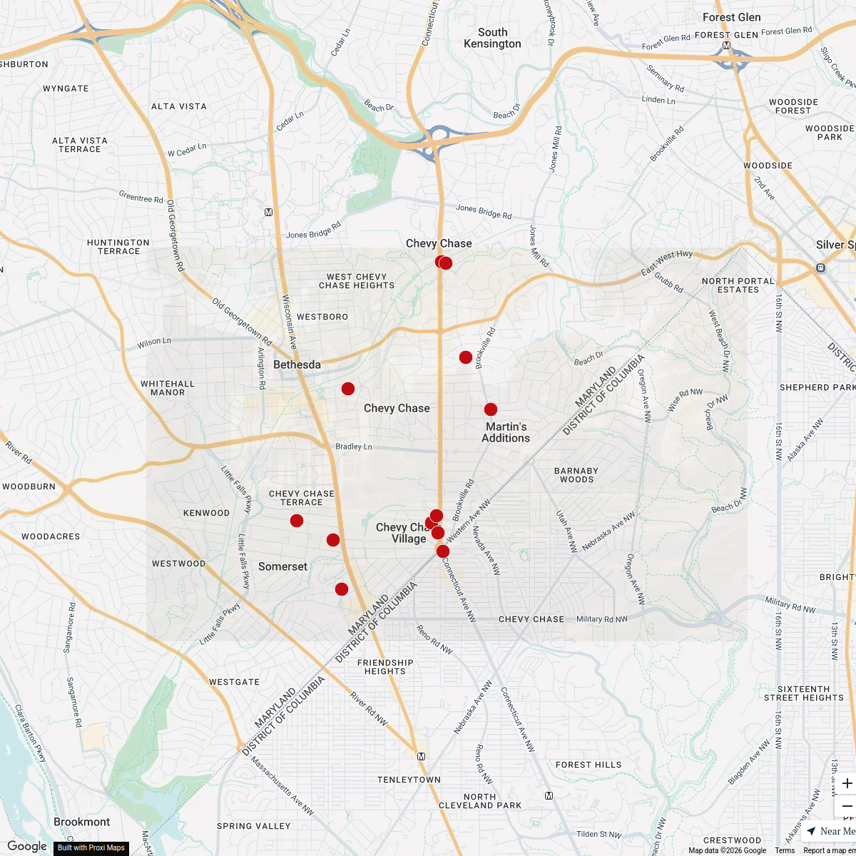
Map · 20 places · Chevy Chase, MD
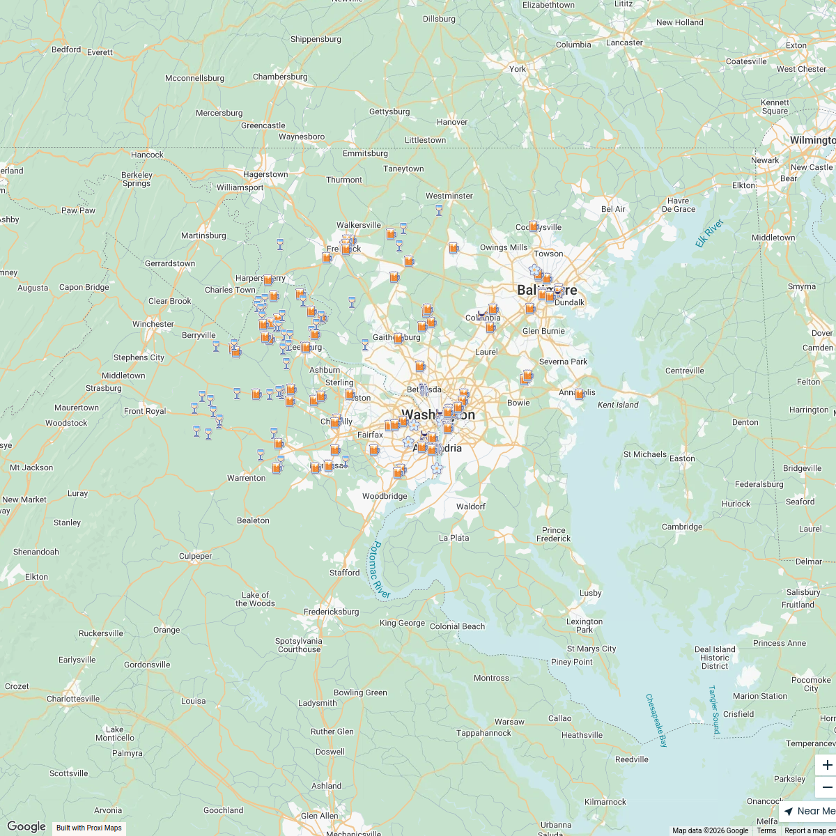
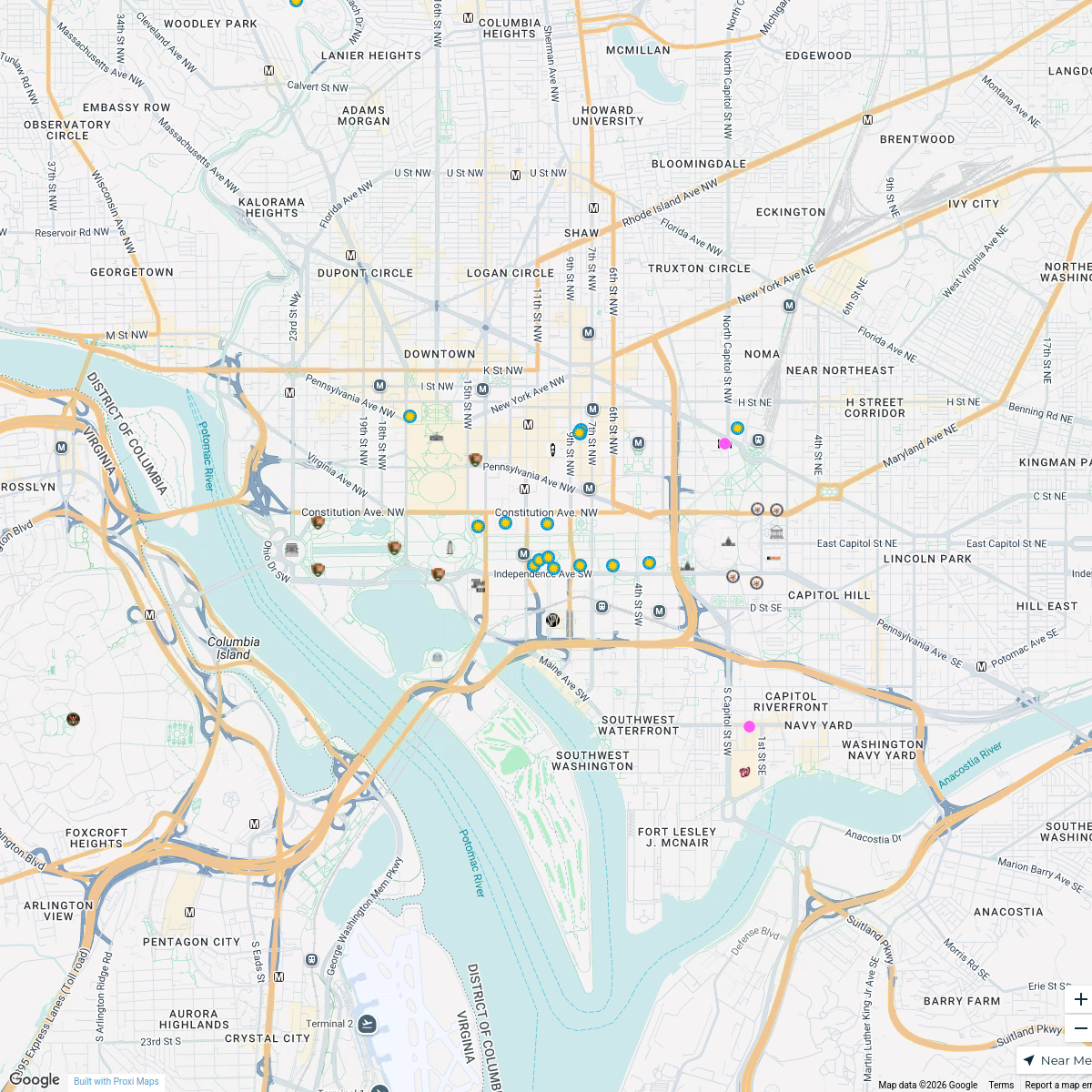
Chevy Chase Local Area Map
A detailed map showcasing significant locations in the Chevy Chase, MD area including schools, shopping areas, and personal residences.
Made by Payton Grant's WorkspaceUpdated Sep 2024
- Community Spaces 5
- Educational Institutions 5
- Residential Locations 5
- Shopping and Dining 5
Places on This Map
20 places · 4 groupsNearby Maps
MD | Chevy Chase 12 Communities
12 stops Irina Norrell's Workspace
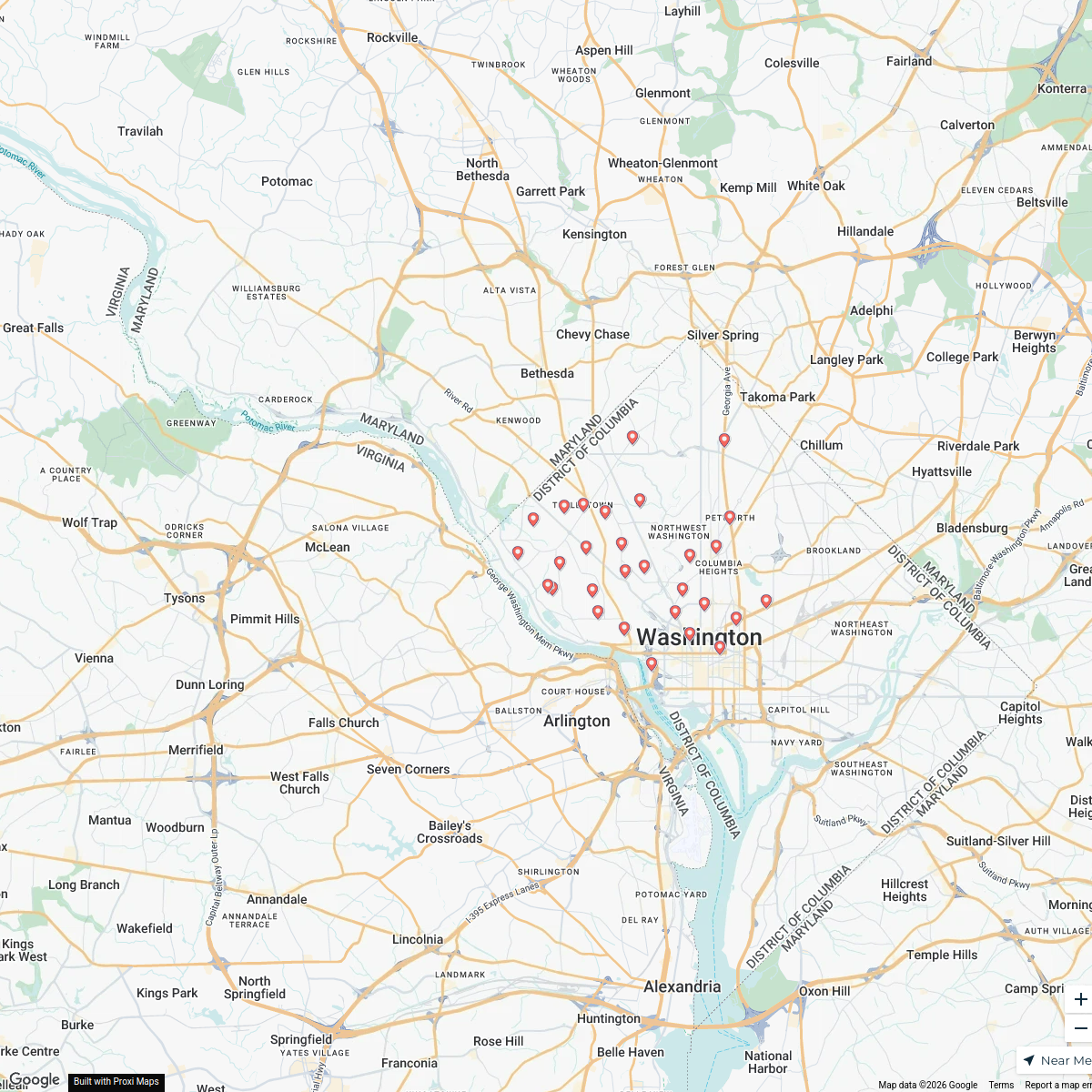
DC | NW Washington DC Neighborhoods
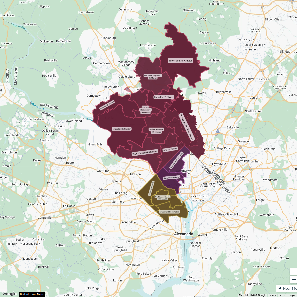
31 stopsIrina Norrell's WorkspaceSchools | DC Metro School Boundaries Map
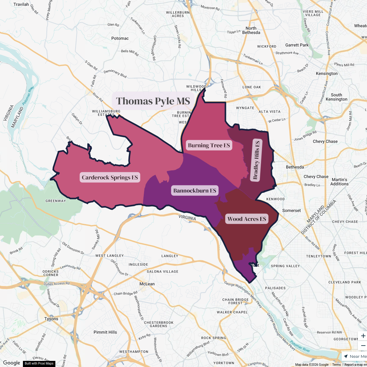
21 stopsIrina Norrell's WorkspaceMCPS | Whitman HS Cluster (old)
6 stopsIrina Norrell's WorkspacePaws in the DMV Dog Friendly Map
168 stops Paws in the DMV's Workspace
Upstate Chamber Coalition
43 stops mwills Workspace
This map was made with Proxi
Have a main street, a market, or a story worth walking? Make your own map in a few minutes.