
Map · 16 places
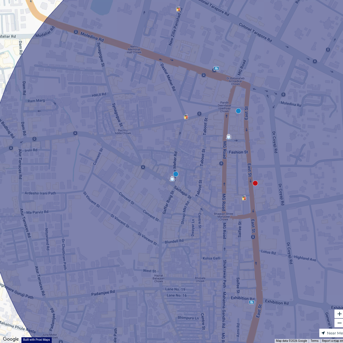
Nal Stop Metro Station Traffic Flow Map
A detailed mapping of traffic flow patterns around Nal Stop Metro Station, focusing on nearby streets, intersections, and public transport accessibility to enhance commuting efficiency.
Made with ProxiUpdated Sep 2024
- Metro Stations 7
- Urban Infrastructure 3
- Public Transport Accessibility 2
- Road Intersections 2
- Traffic Flow 2
Places on This Map
16 places · 5 groupsNearby Maps
Camp Culinary Delights
14 stops JRLM
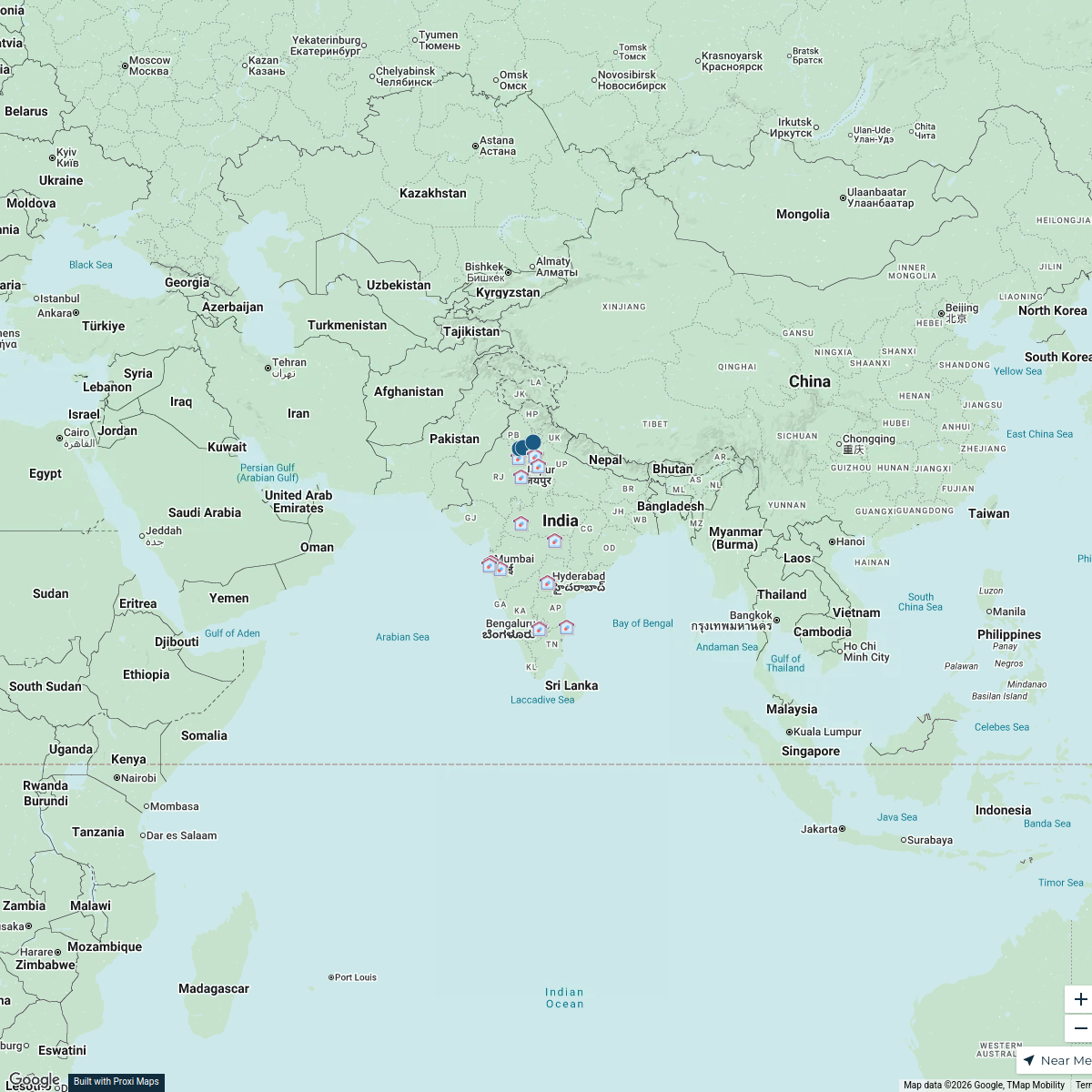
ICAR Research Institutions in India
27 stops · IndiaKaif Alam's WorkspaceSeek Discomfort Adventure Map
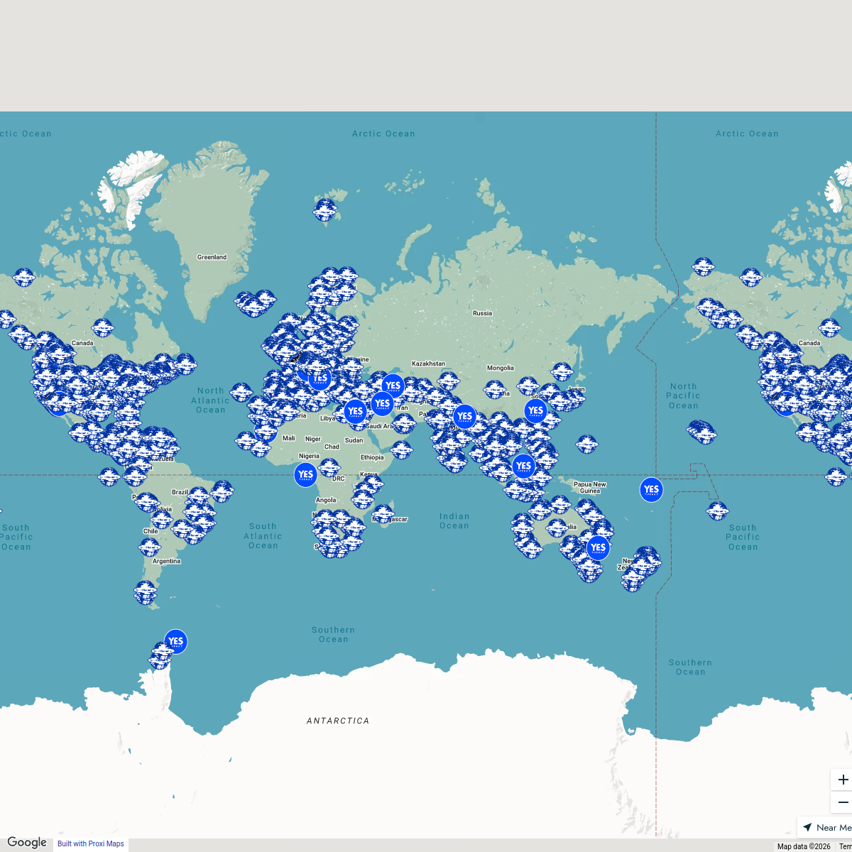
974 stops Seek Discomfort's Adventure Map
Pin Your Heart
425 stops · Europe Voluson Performance

Beer Passport Map
357 stops Lekker Passport
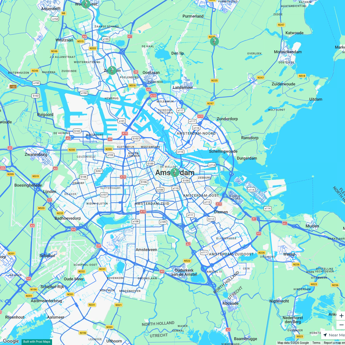
MSD Haarlem worldmap
108 stops · Amsterdam, Netherlands wilmar.tigchelaar's Workspace

This map was made with Proxi
Have a main street, a market, or a story worth walking? Make your own map in a few minutes.