
Map · 10 places
Lake Michigan to Saginaw Bay Area
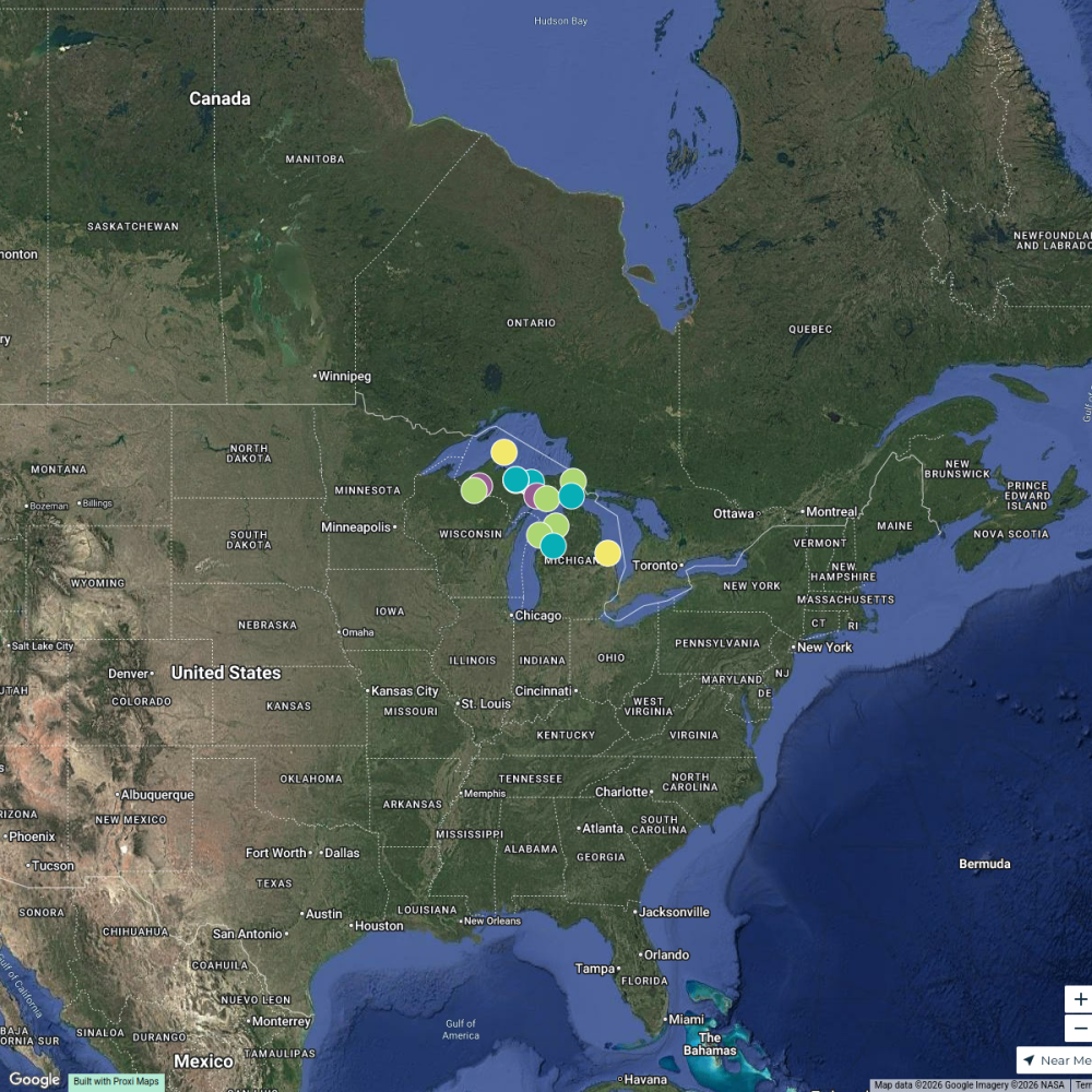
This map outlines a detailed route from the Lake Michigan shoreline starting at Muskegon Lake, traveling through various roads and highways, eventually leading to the International Boundary in Saginaw Bay, Michigan. It highlights key pathways along Memorial Drive, M-120, M-20, US-10, and M-61, connecting various areas in the northern part of the state.
Made with ProxiUpdated Sep 2024
- Roads 7
- Highways 3
Places on This Map
10 places · 2 groupsNearby Maps
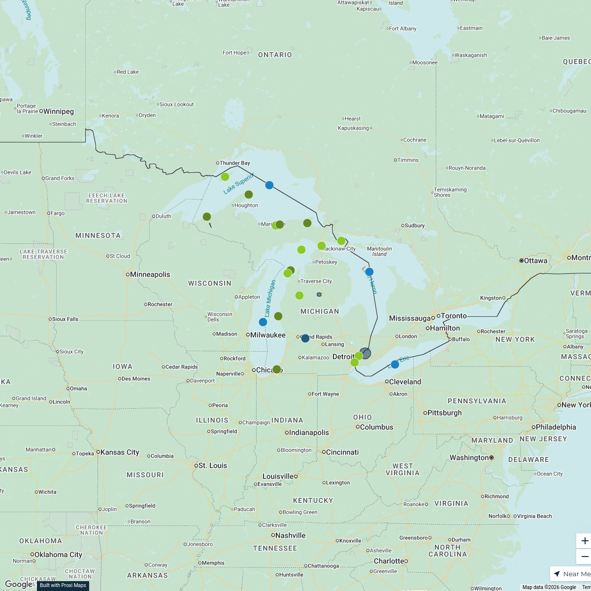
Paranormal, unusual, strange, cemetery in Michigan, above the 45th parallel
16 stops · Michigan, USA Sarah Jennifer Panza's Workspace
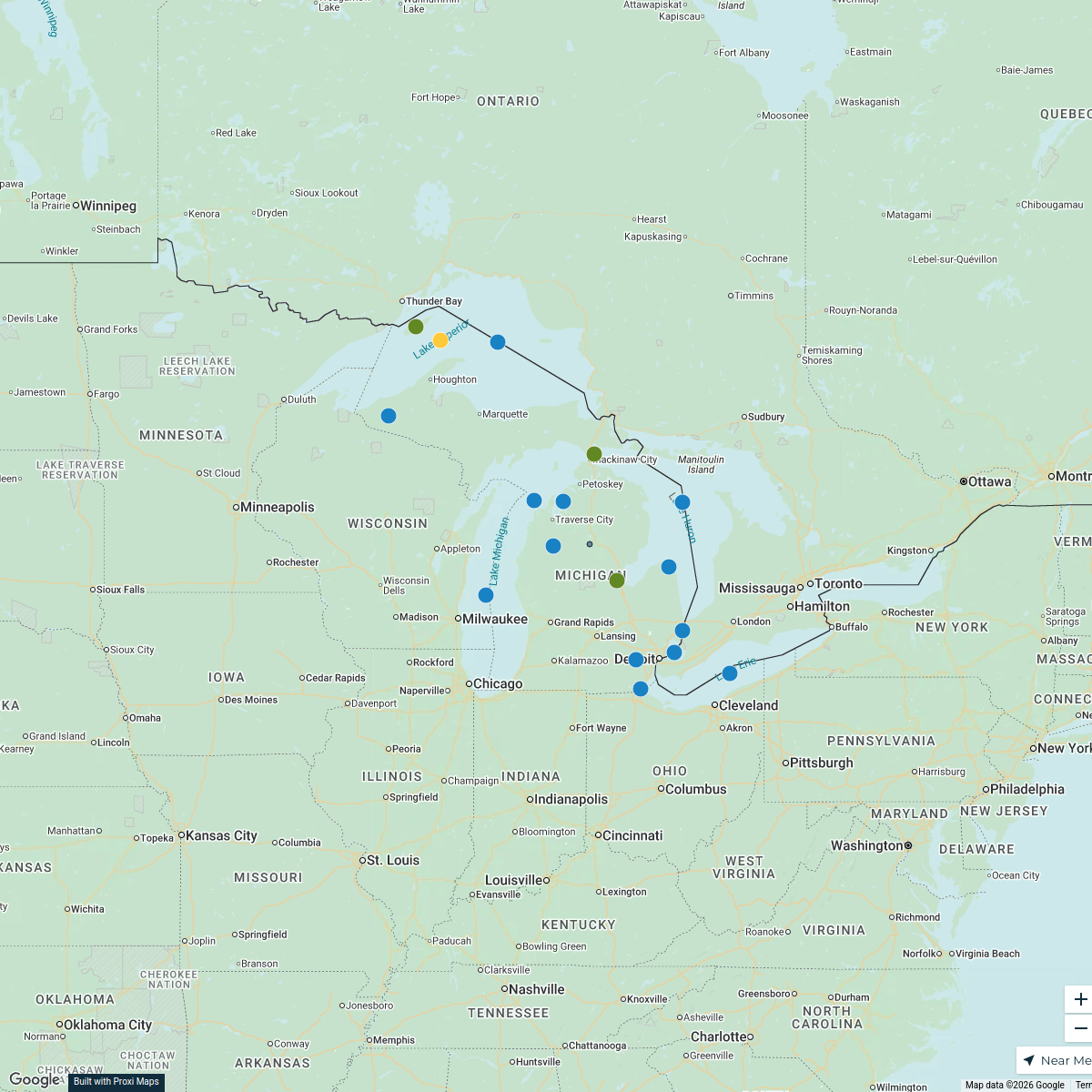
Michigan Highlights Map
25 stops · Michigan, USA KACEY CARNITHAN's Workspace
Discover Michigan
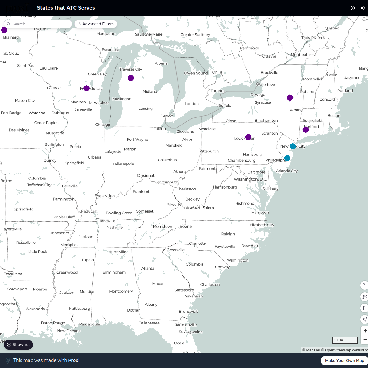
19 stops · Michigan, USAKACEY CARNITHAN's WorkspaceStates that ATC Serves
15 stops ashley.seruya's Workspace
Maple Map / Carte des sucres
441 stops · Albany, NY, USA StoryWorkz Creative's Workspace
Dealers
788 stopsdj's Workspace
This map was made with Proxi
Have a main street, a market, or a story worth walking? Make your own map in a few minutes.