
Map · 34 places
Saint Ann Infrastructure Map
This map provides an overview of the physical and social infrastructure in Saint Ann, Jamaica. It serves as a starting point for users looking to explore points of interest in the region.
Made with ProxiUpdated Sep 2024
- cultural site 7
- school 7
- Gas Station 6
- City 5
- community center 5
- hospital 3
- Church 1
Places on This Map
34 places · 7 groupsNearby Maps
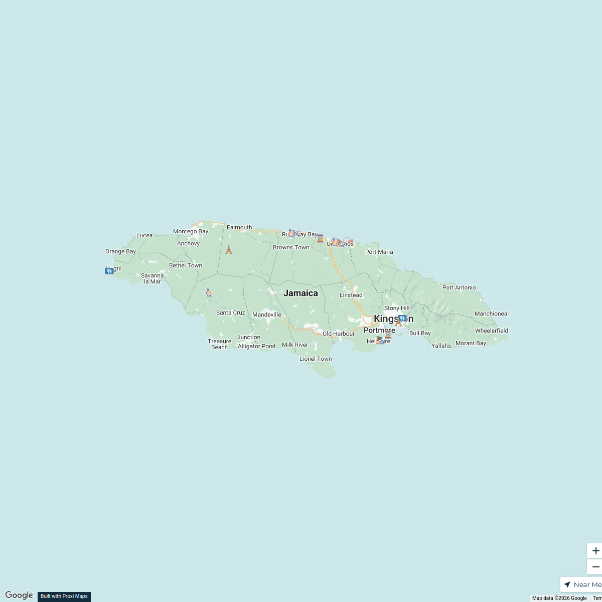
North Coast Jamaica Tourist Attractions
16 stops · Jamaica Azalea Changur's Workspace
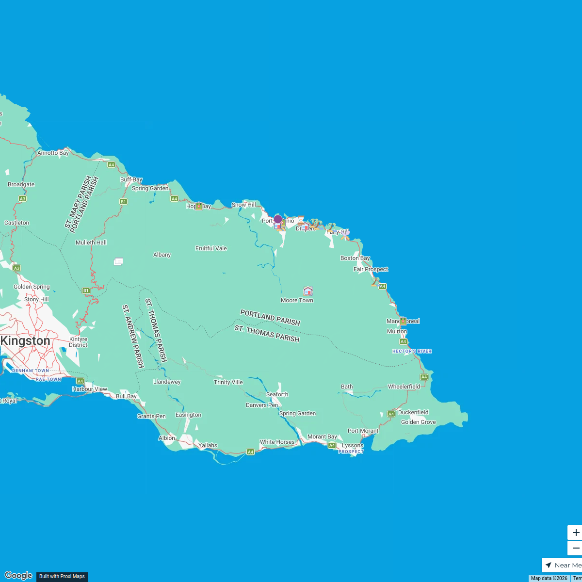
Road Map of Portland, Jamaica
40 stopsBrandon McCallum's WorkspaceNG 2024 Trips
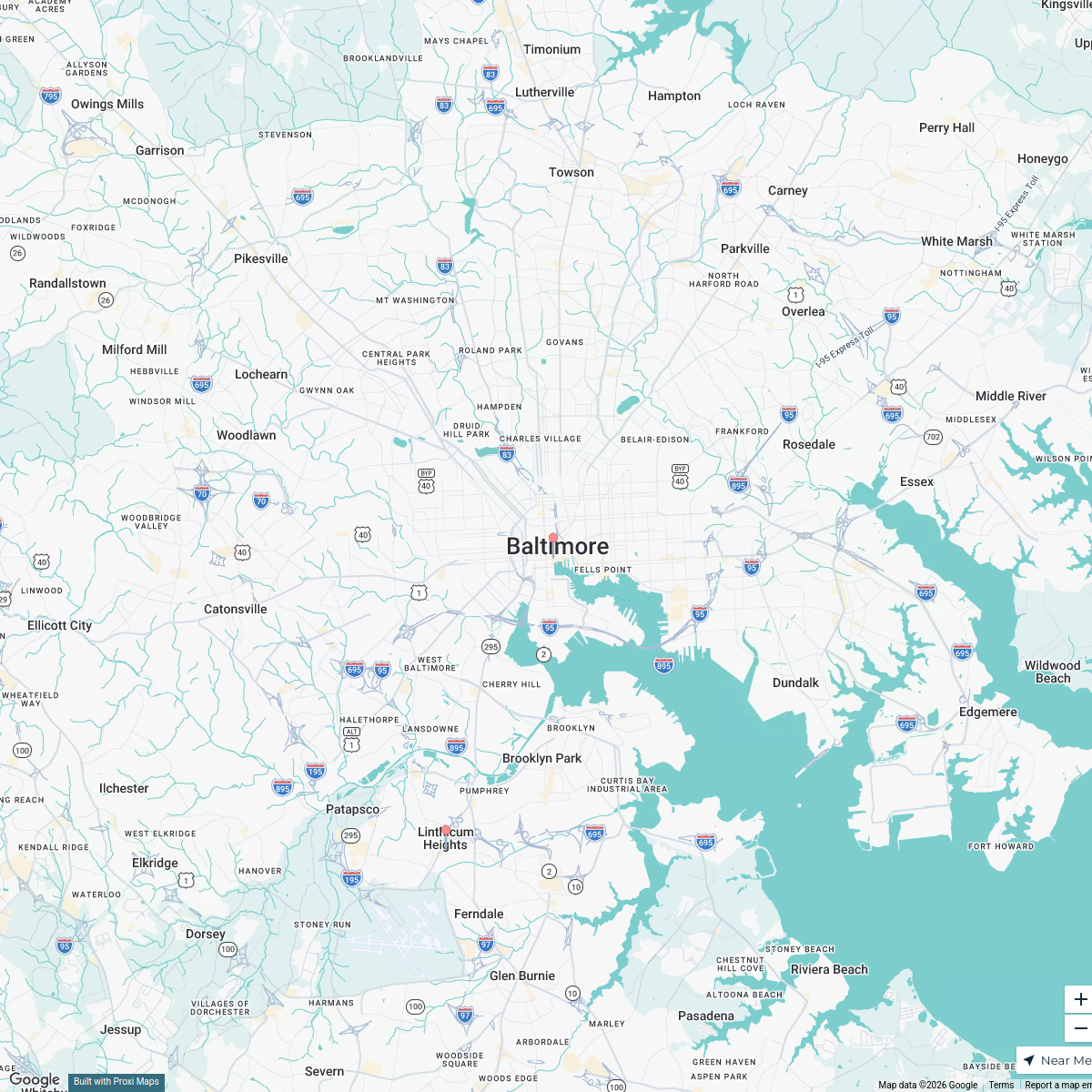
91 stops · Baltimore, MD, USA jessica.thrush's Workspace
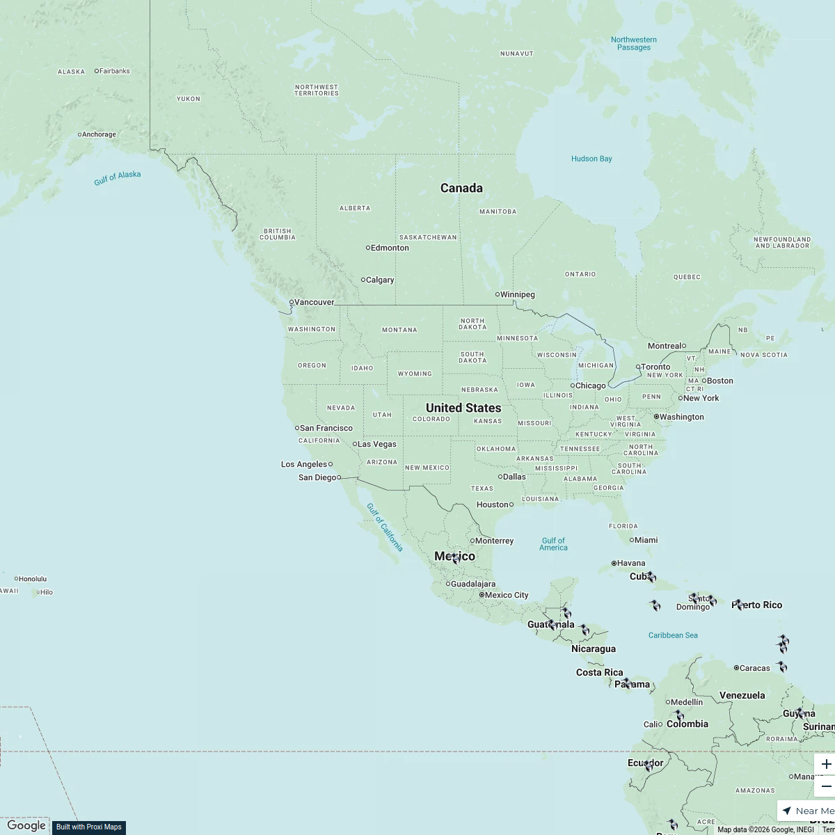
Cultural Harmony Week 2025 - USA
52 stops · USA, United StatesChristina Sama's WorkspaceShelby and Steven's Journey
121 stopsSteven Cosby's WorkspaceVision Group / Groupe Vision
78 stopslghazaly's Workspace
This map was made with Proxi
Have a main street, a market, or a story worth walking? Make your own map in a few minutes.