
Map · 15 places
Flooded Areas of Cebu City
This map highlights the areas most affected by flooding in Cebu City, Philippines. It serves as a useful resource for residents and officials to understand the impact of flooding in their community.
Made with ProxiUpdated Sep 2024
- evacuation center 4
- food supply 4
- shelter 3
- medical aid 2
- flooded area 1
- road access 1
Places on This Map
15 places · 6 groupsNearby Maps
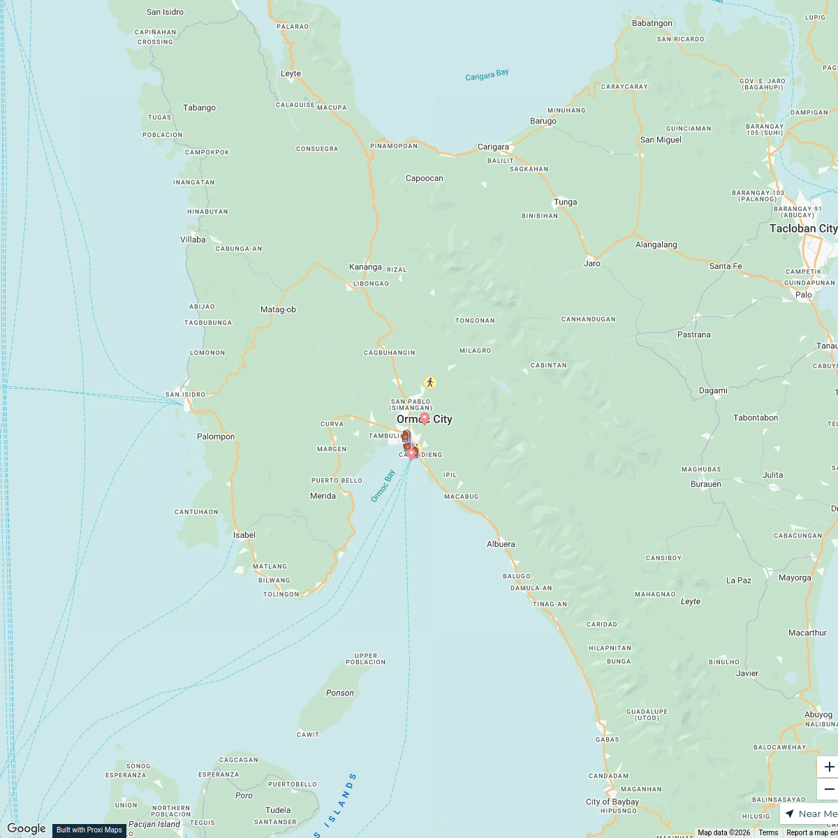
Junior High Schools in Southern Leyte
16 stops · Ormoc, Leyte, Philippines Cejie Angelica Amoguis's Workspace
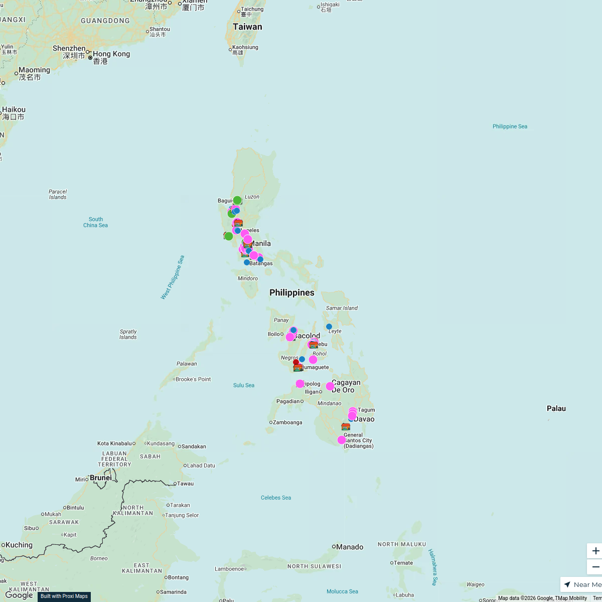
Orphanage Ministry
106 stops Bob Hansen's Workspace
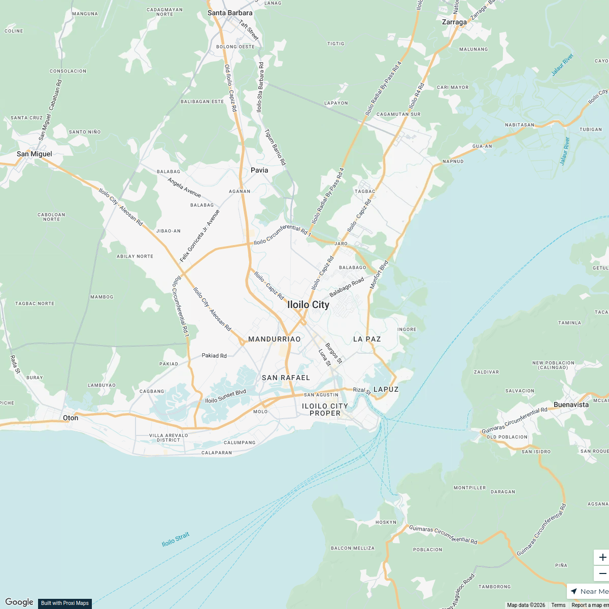
Global Mental Health Community Map
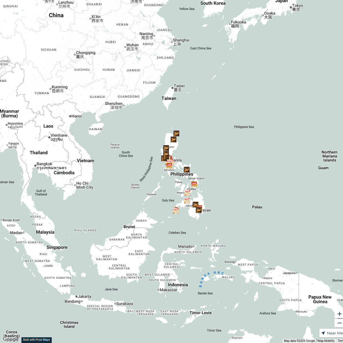
55 stops · Iloilo City, Iloilo, Philippinesantonis's WorkspaceKopiko Product Sources in the Philippines
32 stops · PhilippinesNica Aguirre's WorkspaceWorld War 2 in the Pacific
10 stops · Pacific OceanSpencer Ray's WorkspaceCommunity Map
Tacloban Public Transportation Guide
6 stops · Tacloban, Tacloban City, Leyte, PhilippinesShared by the Proxi community
This map was made with Proxi
Have a main street, a market, or a story worth walking? Make your own map in a few minutes.