
Map · 16 places
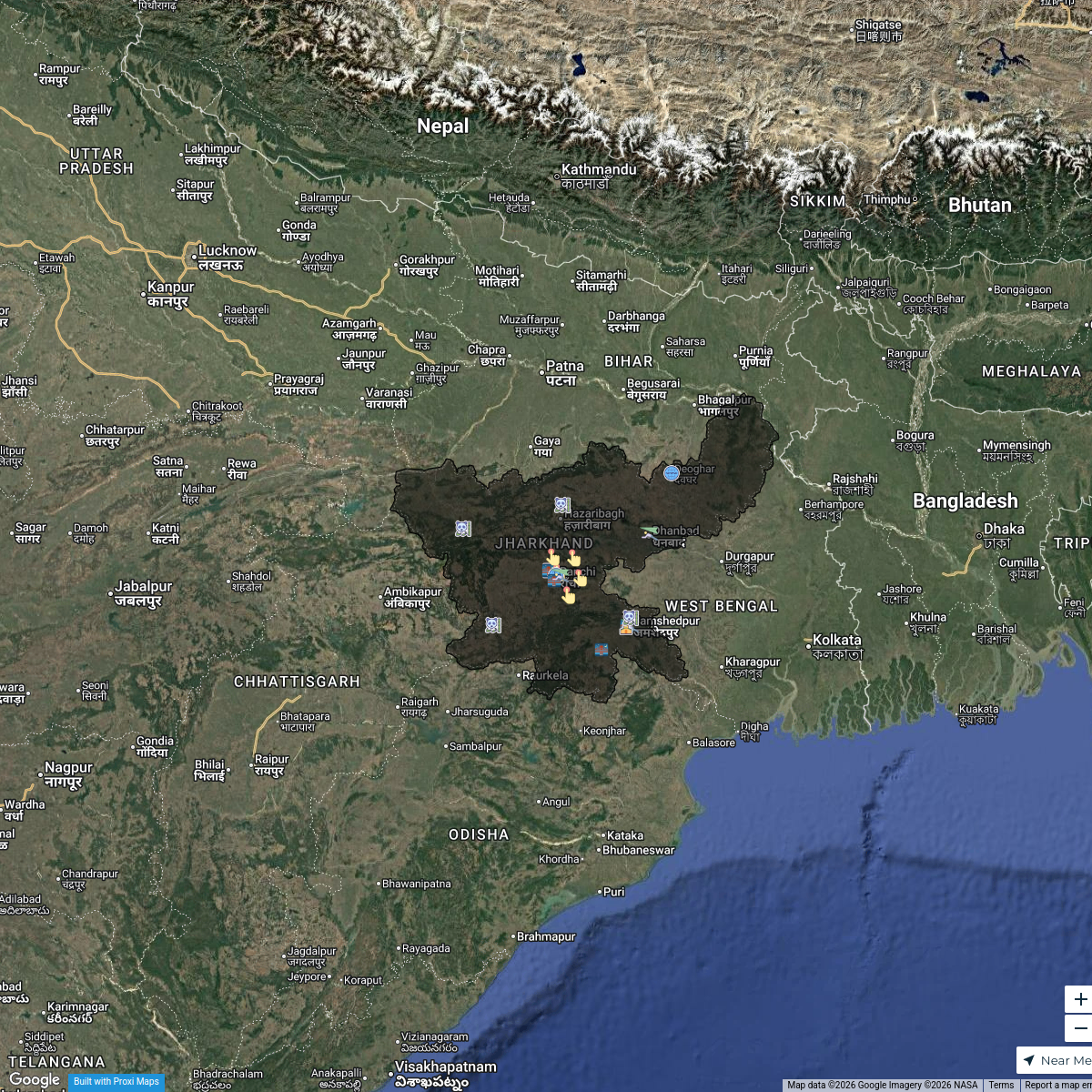
Political Map of Baghmara, Jharkhand, India
Explore the political features of Baghmara, Jharkhand, India with this map. Add your own points of interest and discover the region.
Made with ProxiUpdated Aug 2024
- Transportation 5
- Educational Institutions 3
- Government Offices 3
- Rivers 3
- Places of Worship 2
Places on This Map
16 places · 5 groupsNearby Maps
Tourism Highlights in Jharkhand
21 stops · Jharkhand, India Yuvraj Thakur's Workspace
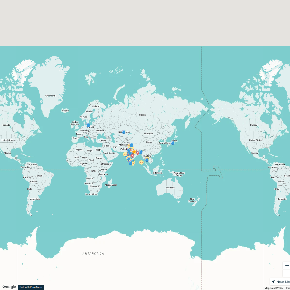
New Joiners’ Homes, Hops & Horizons
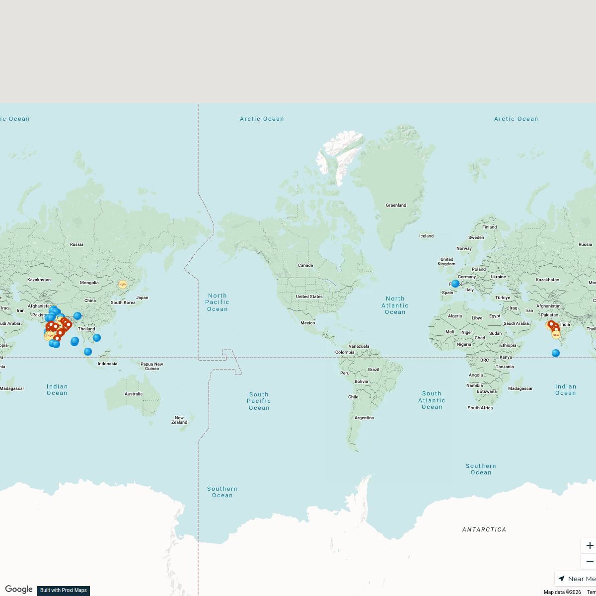
57 stops · Asiashanellefernz's WorkspaceNew Joiners’ Homes, Hops & Horizons
58 stops · USA, United States asianpaintsppglinkedin's Workspace
Community Map
Dhanbad District Map
7 stops · Dhanbad, Jharkhand, IndiaShared by the Proxi communityCommunity Map
Dhanbad Exploration Map
14 stops · Dhanbad, Jharkhand, IndiaShared by the Proxi communityCommunity Map
Explore Dhanbad
3 stops · Dhanbad, Jharkhand, IndiaShared by the Proxi community
This map was made with Proxi
Have a main street, a market, or a story worth walking? Make your own map in a few minutes.