
Map · 10 places
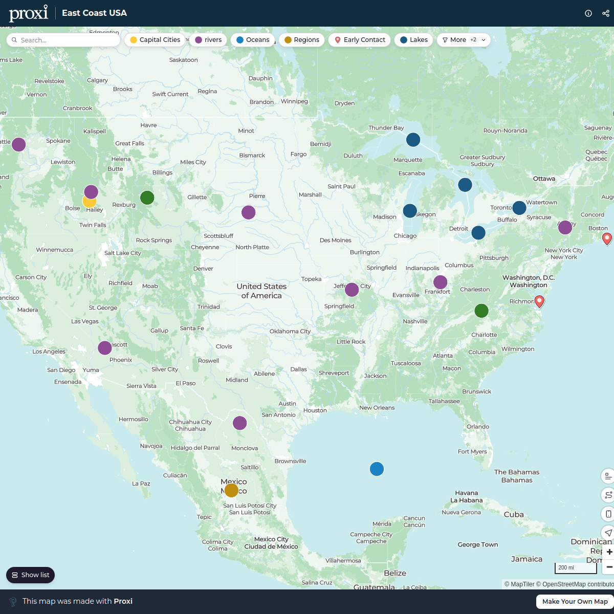
native american history in color-coded map of North America, with each color representing a region (Arctic, Plains, Northeast/Great Lakes, Southwest, Southeast) and the tribal groups which resided there, as well as a symbolic representation of the geographical factors/way of life of
Made with ProxiUpdated Aug 2024
- Arctic 2
- Northeast/Great Lakes 2
- Plains 2
- Southeast 2
- Southwest 2
Places on This Map
10 places · 5 groupsNearby Maps
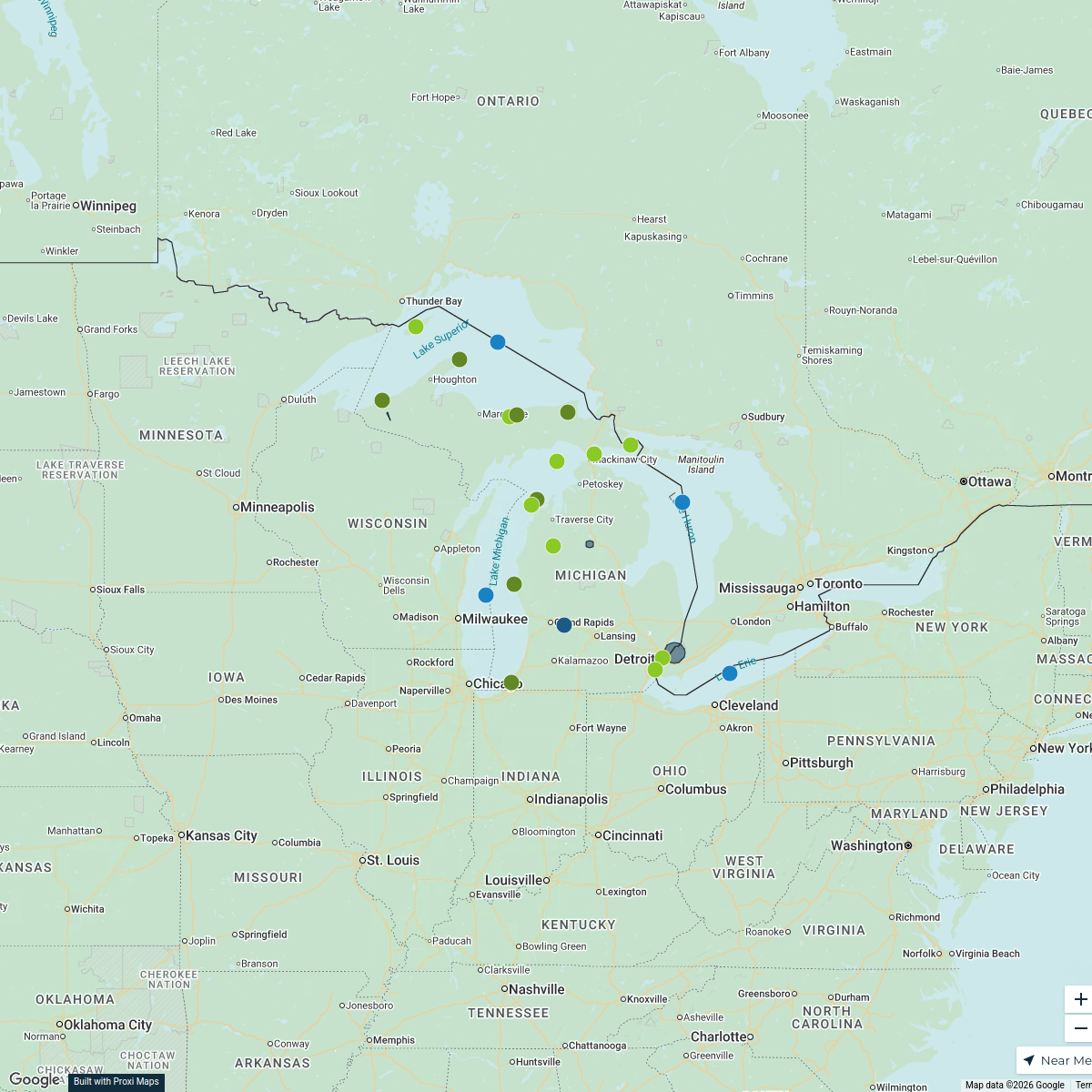
Michigan Highlights Map
25 stops · Michigan, USA KACEY CARNITHAN's Workspace
Discover Michigan
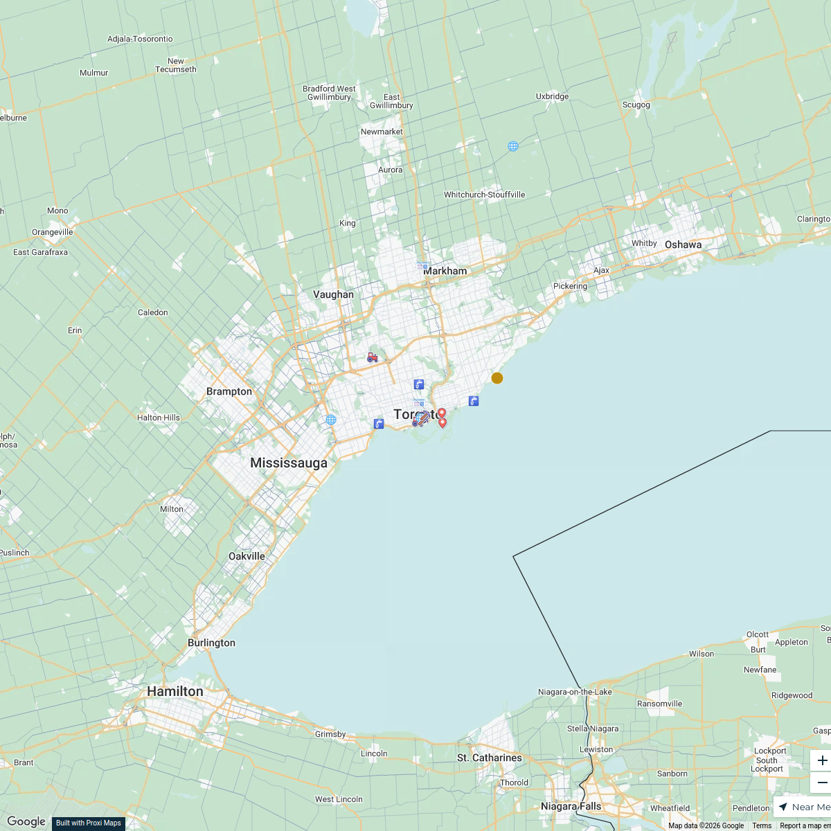
19 stops · Michigan, USAKACEY CARNITHAN's WorkspacePrimary Resources in Canada
38 stops · Toronto, ON, Canadawschw29's WorkspaceEast Coast USA
23 stops · United StatesMonica Church's WorkspaceCommunity Map
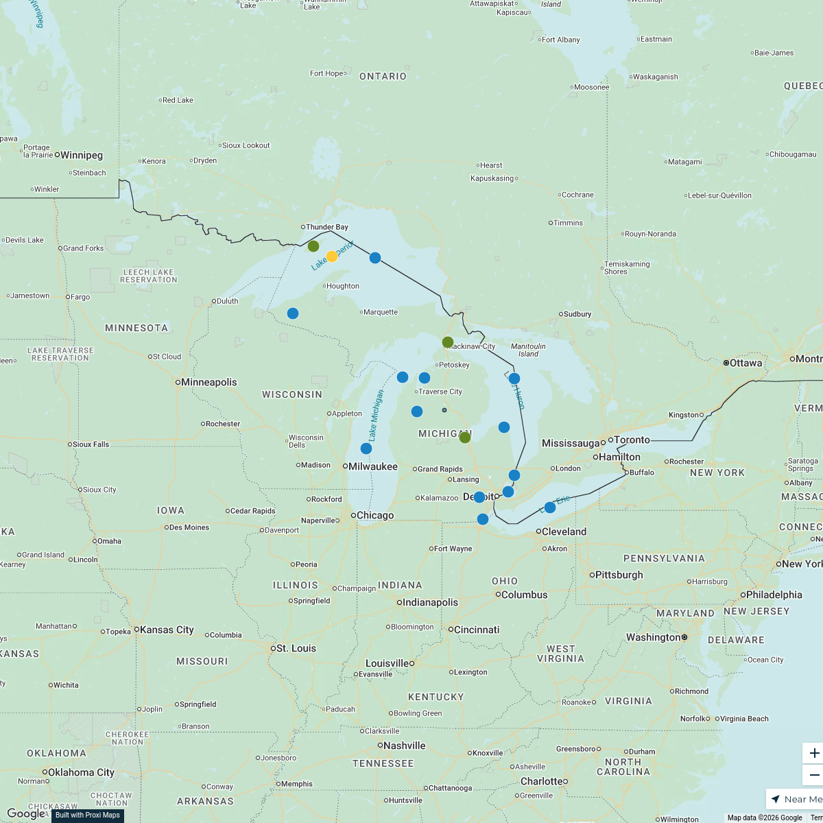
Great Lakes Region Map
3 stops · The Great LakesShared by the Proxi community Community Map
Custom map in Michigan
10 stops · Michigan, USAShared by the Proxi community
This map was made with Proxi
Have a main street, a market, or a story worth walking? Make your own map in a few minutes.