
Map · 9 places
Strand Map
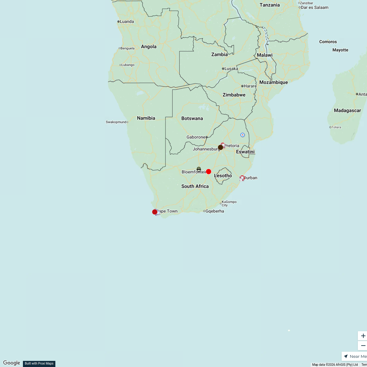
A map of Strand, Cape Town, South Africa showing residential and industrial areas, as well as schools and hospitals.
Made with ProxiUpdated Aug 2024
- Hospital 4
- School 4
- Recreational Areas 1
Places on This Map
9 places · 3 groupsNearby Maps
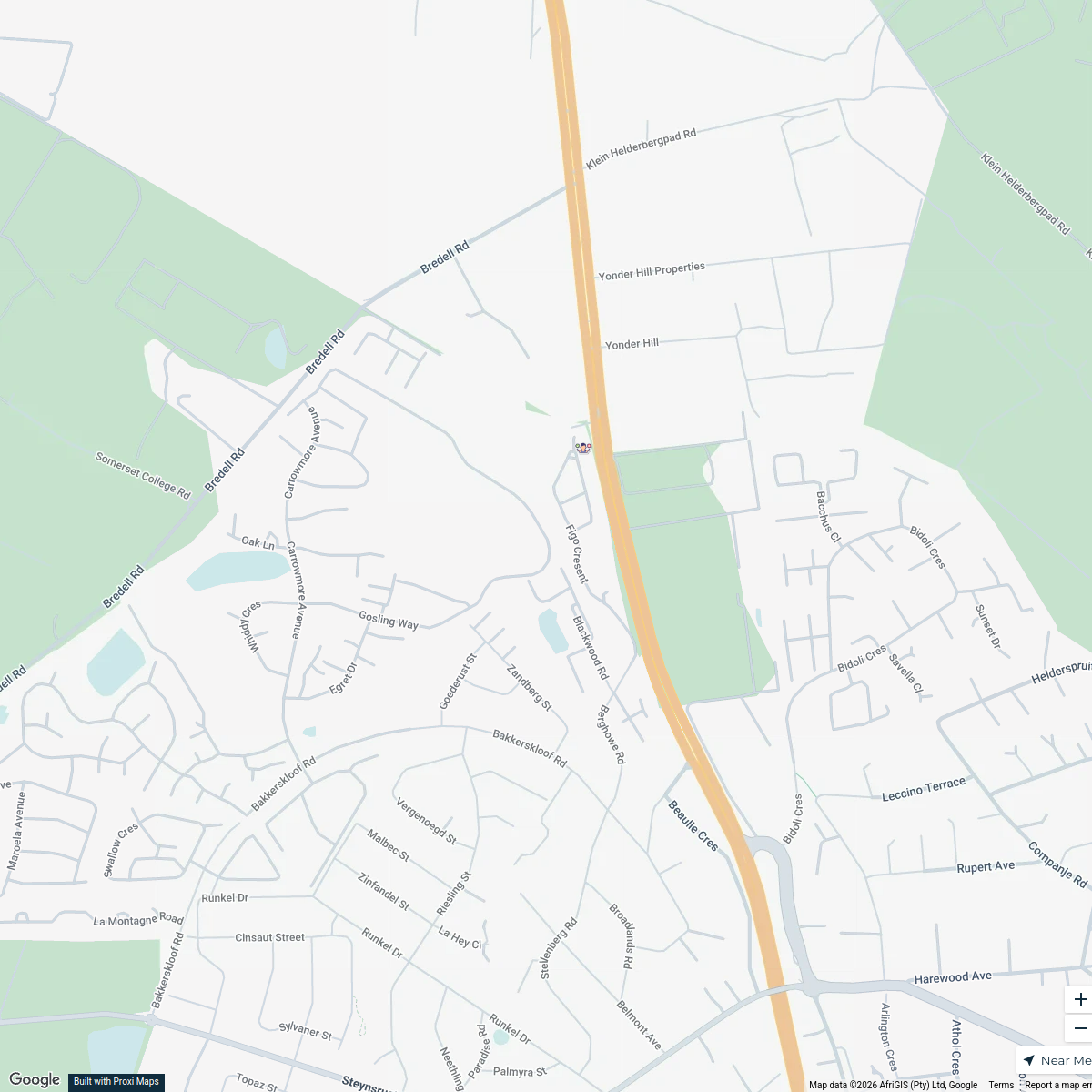
Pepperwood Trick or Treat 2026
1 stop wayvekolevsohn's Workspace
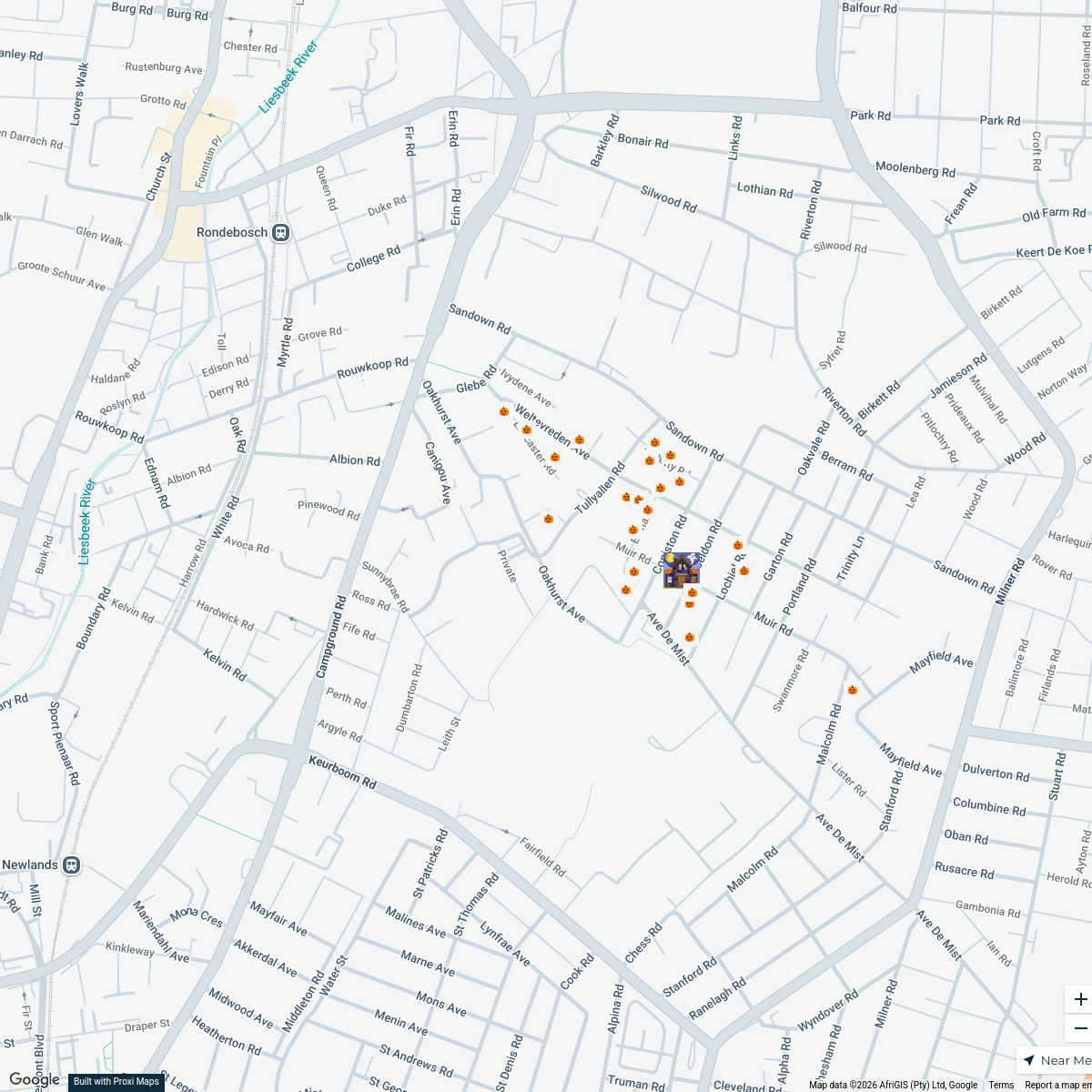
Rondebosch Halloween Trick or Treat Route
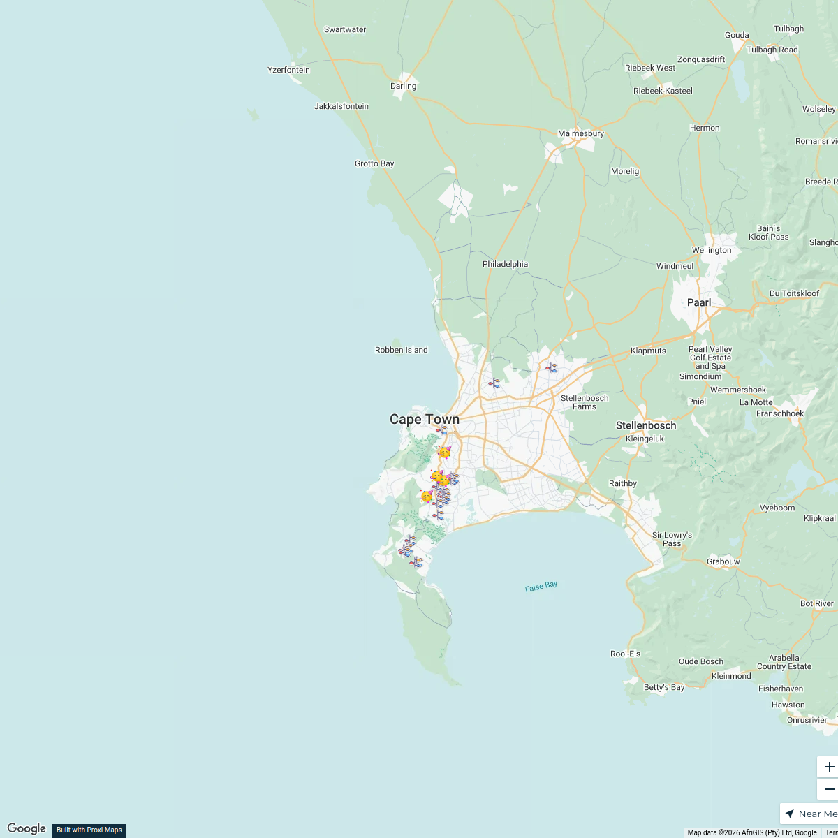
25 stopsRobyn Rautenbach's WorkspaceChristmas Lights in Cape Town 2025
29 stops · Cape Town, South Africasamantha's WorkspaceWestern Cape Wine Tasting Experiences
21 stops · Western Cape, South Africarobhicksnz's Workspace
Coffee Map
130 stops · South Africa Lekker Passport
Military Units in South Africa
25 stops · South AfricaTsholo Moleko's Workspace
This map was made with Proxi
Have a main street, a market, or a story worth walking? Make your own map in a few minutes.