
Map · 17 places
Slum Control Map
A map focused on GIS Mapping and controlling the growth of slums in Krishnarayapuram, Illango Nagar, Coimbatore, Tamil Nadu, India.
Made with ProxiUpdated Aug 2024
- Non-Profit Organizations 9
- Housing Authorities 5
- City Planning Departments 2
- Community Development Organizations 1
Places on This Map
17 places · 4 groupsNearby Maps
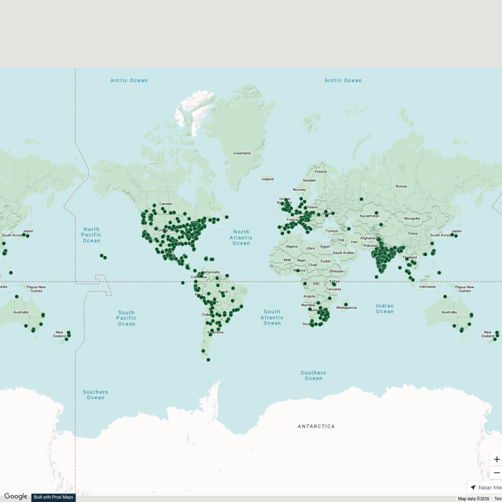
City Nature Challenge 2024 cities
714 stops ajaecker's Workspace
Karunya Institute of Technology and Sciences Campus Map
36 stops · default_map_center Thanvitha Goutham's Workspace
Community Map
Holy Sites of Coimbatore
15 stops · Coimbatore, Tamil Nadu, IndiaShared by the Proxi communityCommunity Map
Chidambaram Highlights
15 stops · Coimbatore, Tamil Nadu, IndiaShared by the Proxi communityCommunity Map
Adoration Chapel in Coimbatore
9 stops · Coimbatore, Tamil Nadu, IndiaShared by the Proxi communityCommunity Map
Social Mapping Coimbatore
17 stops · Coimbatore, Tamil Nadu, IndiaShared by the Proxi community
This map was made with Proxi
Have a main street, a market, or a story worth walking? Make your own map in a few minutes.