
Map · 18 places
Abingdon Local Facilities Map
A map of Abingdon, OX14, UK showing local facilities including schools, shops, and parks.
Made with ProxiUpdated Jun 2024
- School 11
- Shop 5
- Park 2
Places on This Map
18 places · 3 groupsNearby Maps
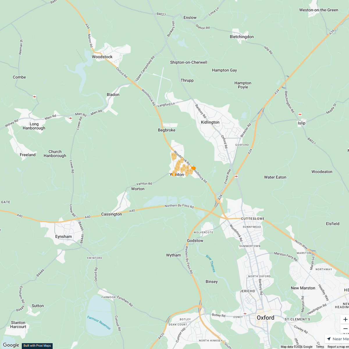
Yarnton Halloween Trail
21 stops · Yarnton, UK tamsinsmale's Workspace
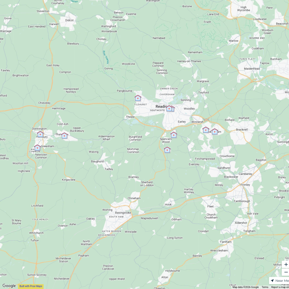
B-Well NHS Clinics, Berkshire West
11 stops venkat.tikkireddi's Workspace
Cotswald
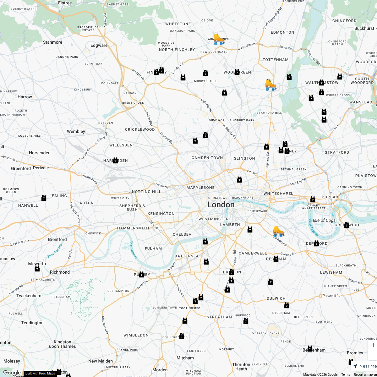
8 stops · Cotswolds, UKDev Das's WorkspaceLondon Roller Derby
76 stopskatylw123's WorkspaceFlexi
188 stopsp.grant's WorkspaceUK Trip
15 stops Aditya Santhanam's Workspace
This map was made with Proxi
Have a main street, a market, or a story worth walking? Make your own map in a few minutes.